 Paloma
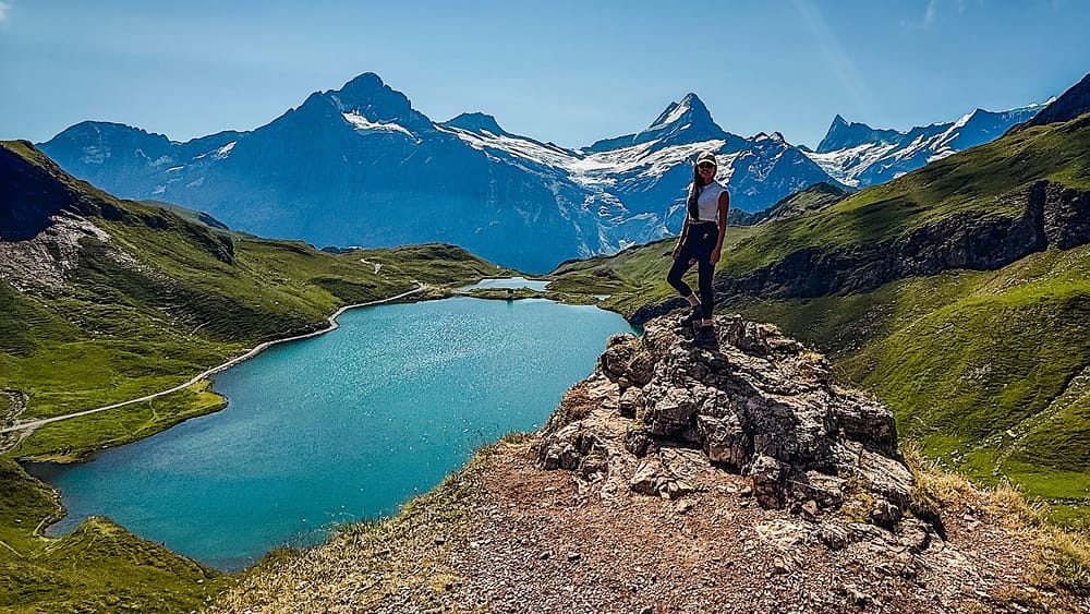
Table of contents
If you've ever dreamt of feeling like you're inside The Lord of the Rings Movies without having to travel to the end of the world, then this is THE hike for you.
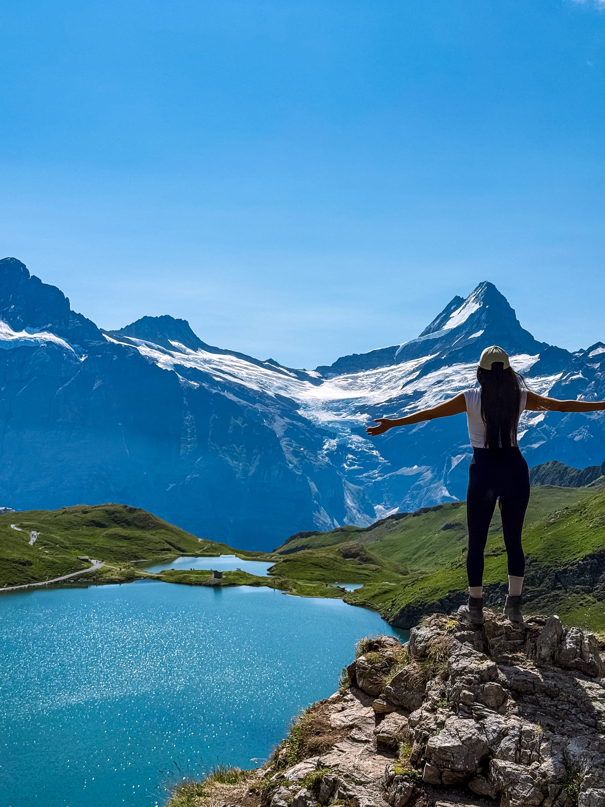
Picture saturated green hues, dramatic mountain backdrops, two pristine green lakes, and a peaceful vibe that will calm your nervous system down within minutes.
Well, Bachalpsee is all of that and more, and in this guide you will learn all you need to know to enjoy this experience to the fullest, from how to get there to how much it costs, to the hike duration and details.
Shall we dive in?
The hike at a glance
Medium- Distance
- 7.4 km, out-and-back
- Time needed
- 2:30 hours total
- Elevation gain
- 200 meters up & down
- Starting point
- Cable car station here
- Parking
- Parkhaus Eiger + or Parkplatz Pfingstegg
- Cost
- Cable car return 76 CHF - discount cards accepted
- Crowds
- Medium to high
- Sun exposure
- High
Trail overview
Area Map
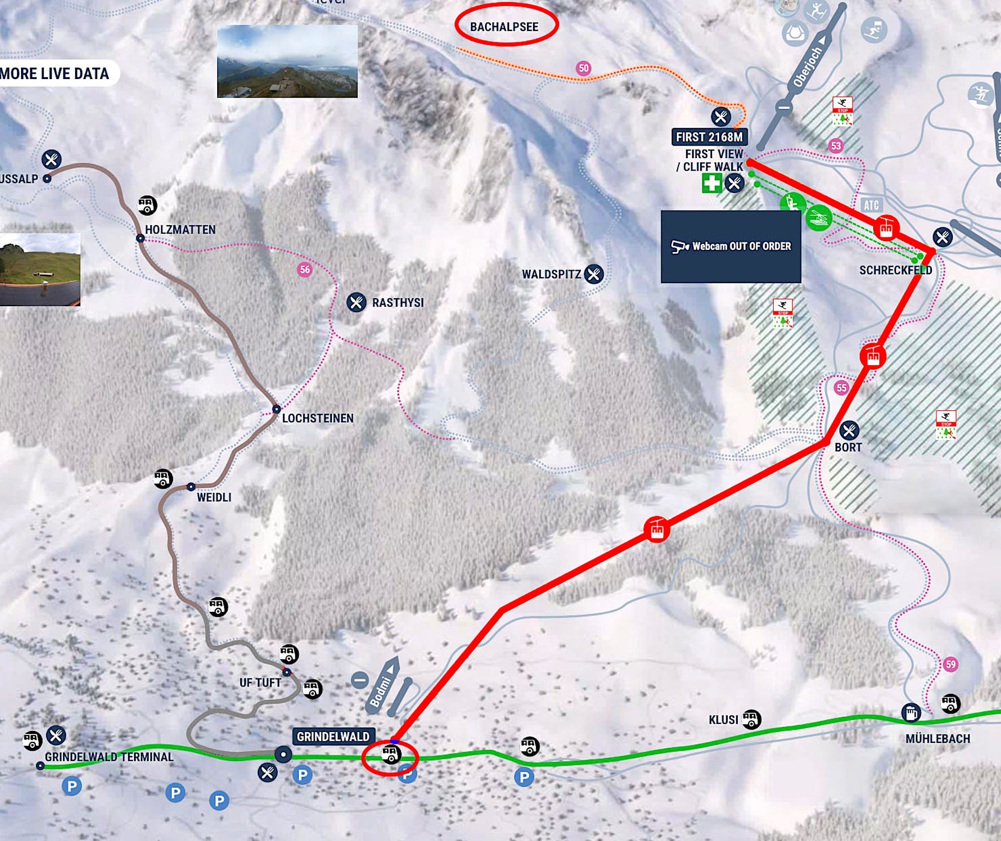
Hiking Map
Difficulty
This is a moderate hike that gradually climbs to the viewpoint, then returns the same way.
Variations
If you're looking for a more challenging hike, you can extend it past the second lake to the Faulhorn Hut, then continue down to Schynige Platte, where you can take a train down the other side of the mountain. That's a full-day hike (around 6 hours).
How to get there
By car
To reach the trail, you will first have to take the Grindelwald First Gondola.
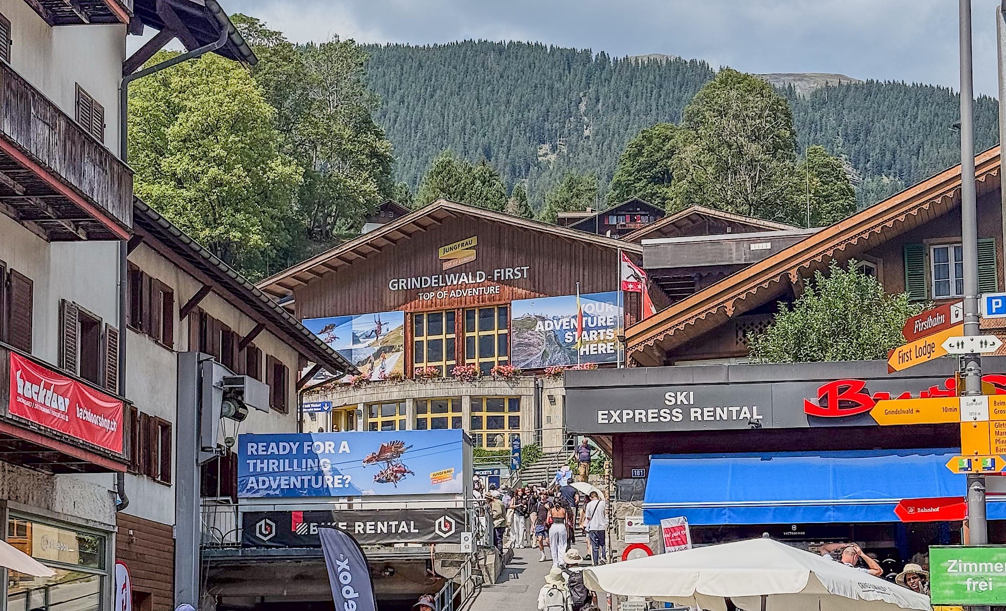
Grindelwald is a small town with limited parking, so I recommend parking at Parkhaus Eiger+ or Parkplatz Pfingstegg and walking to the cable car valley station, or, if you're staying in the Interlaken area, taking public transportation.
Note that traffic jams can build up when entering and/or leaving Grindelwald during high season. This is another reason to take advantage of the extremely efficient, well-thought-out public transportation system in this part of Switzerland.
By public transportation
Take a train to Grindelwald, then either walk 15min or take a bus that drops you across the street from the cable car valley station.
Practical planning
Operating hours
The cable car runs approximately from early May to mid-December each year. However, the cable car closes during spring and autumn for a couple of weeks for maintenance. Service can also be interrupted due to bad weather.
During the summer season, it generally runs from 8 am to 6 pm, with the last ascent at 5:30 pm. I highly recommend checking the timetables here before going.
If you happen to miss the last gondola down, know that you can hike all the way down on a well-maintained path, but it will take you around 3.5 hours to do so.
Cost
A return ticket from the valley station to the mountain station costs 76 CHF.
If you're taking other cable cars and or/trains during your trip to Switzerland, consider buying a reduction card such as the Half Fare card, which gives you 50% off this trip.
The trail in pictures
1 Riding the gondola
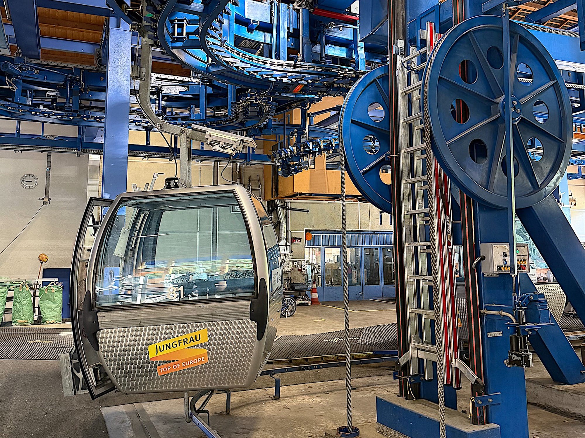
Many people ride this gondola, as it takes them to the starting point of many hikes and all the First adventure activities. That's why I highly recommend starting early and buying your tickets in advance.
Ride the gondola to the final station, "First." The gondola opens its doors at 2 intermediate stations on the way: Bort and Schreckfeld; do not get off at either of those!
2 Tissot Sky Walk detour
Since we had already paid the cable car up here, we decided to check out the famous cliff walk by Tissot.
After getting off the gondola, we went left following the signs leading to the Cliff Walk. It's a short platform walk that's worth the detour, with an unobstructed view of the landscape.
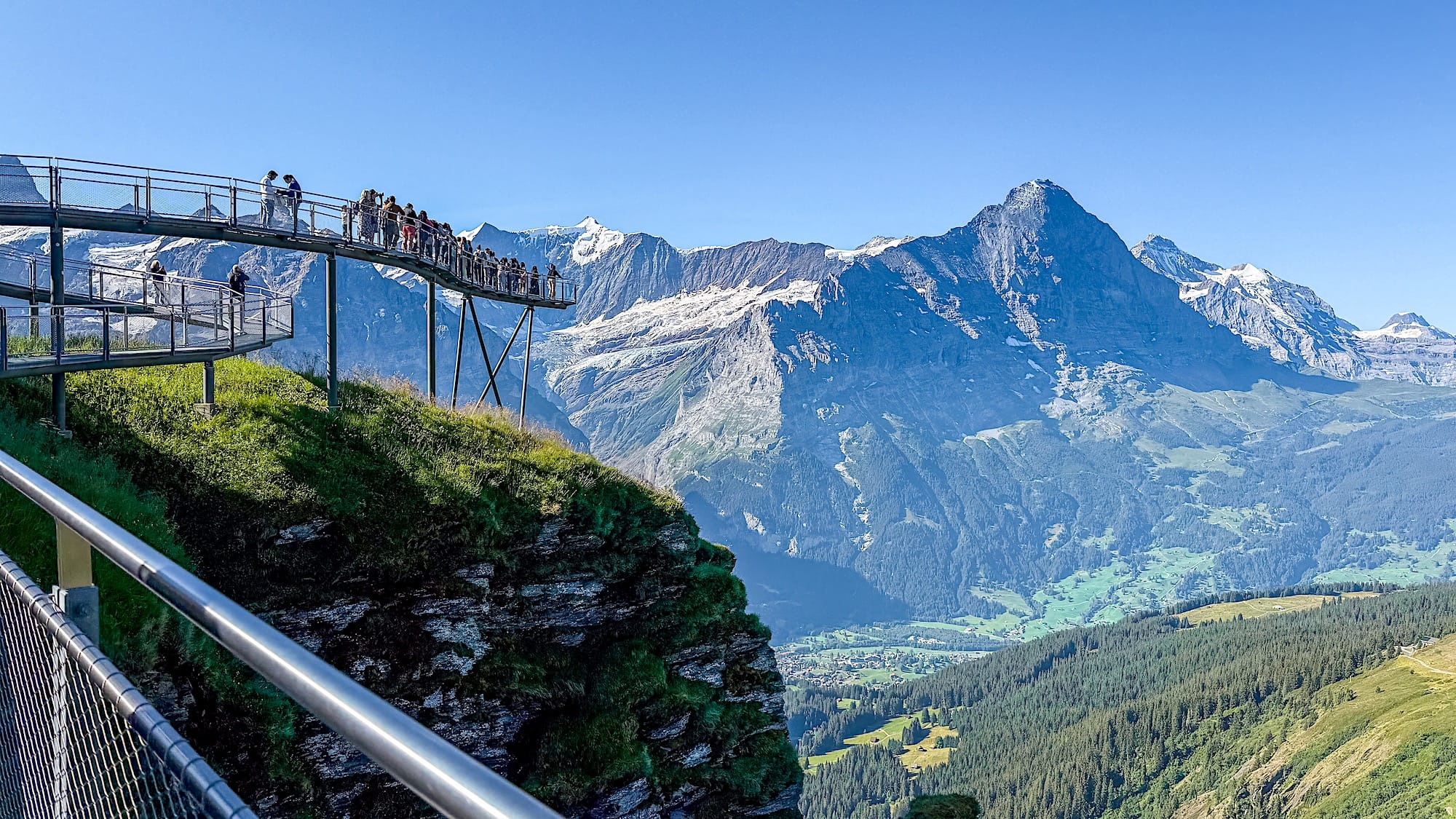
We decided not to wait to take the picture on the upper platform, though, since there was a queue and we didn't think it was necessary.
2 The way towards the lake
Once you've completed the Cliff Walk, you will find yourself back at the cable car mountain station. Head over the same way that took you to the Cliff Walk, but this time just walk past it. The way is pretty much straightforward.
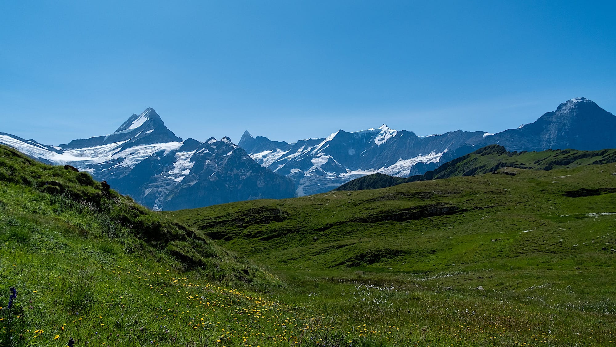
Pretty quickly, you'll reach a sort of unofficial viewpoint where people stop to take pictures. From that point on, you'll walk with extraordinary views over the Schreckhorn, Finsteraarhorn, and Wetterhorn in the background.
3 Arrival at the lake
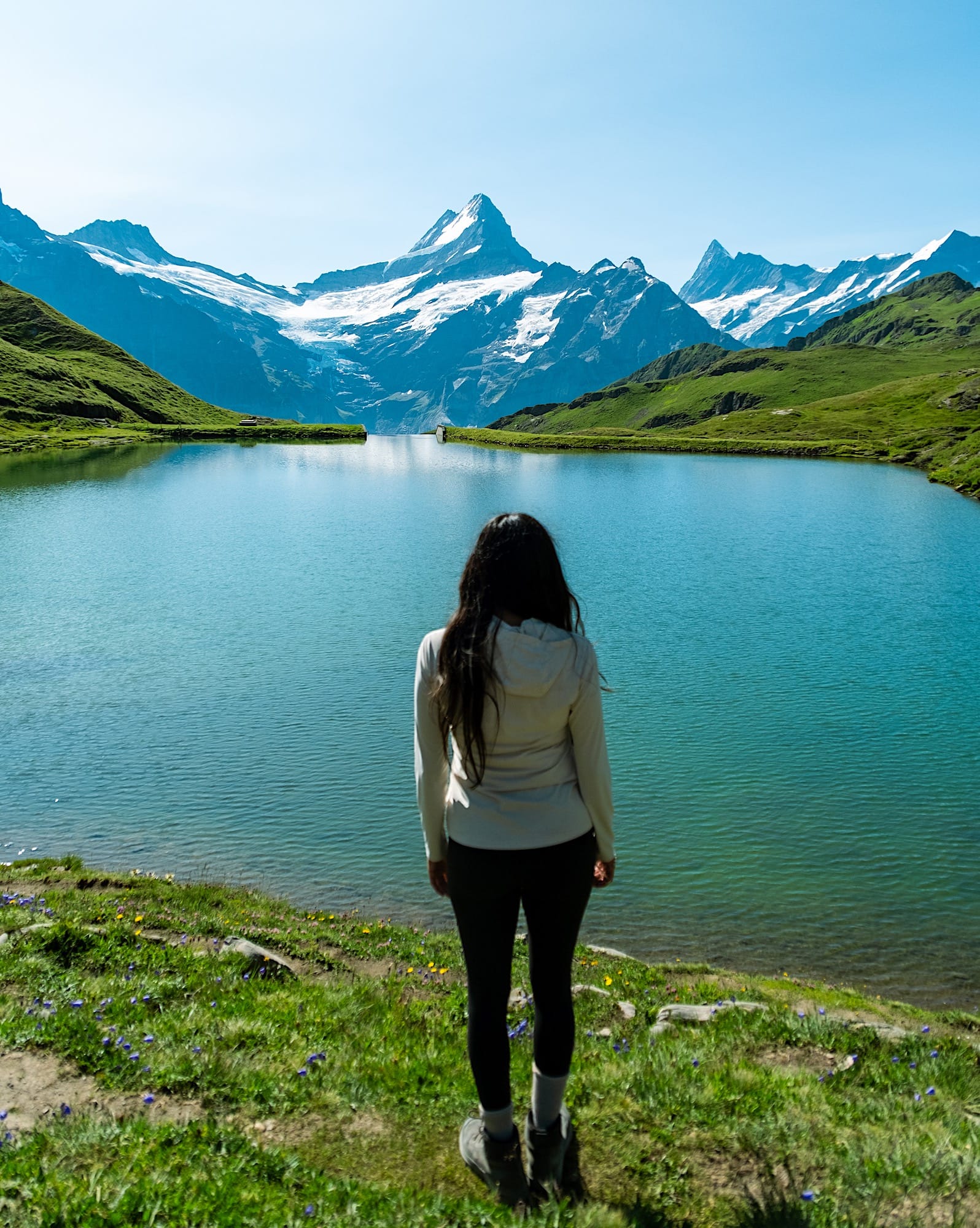
When you get to the first lake, you'll find some benches where you can have a break and take in the views.
This part will have many people because most finish their hike here and head back down.
4 Two lakes viewpoint
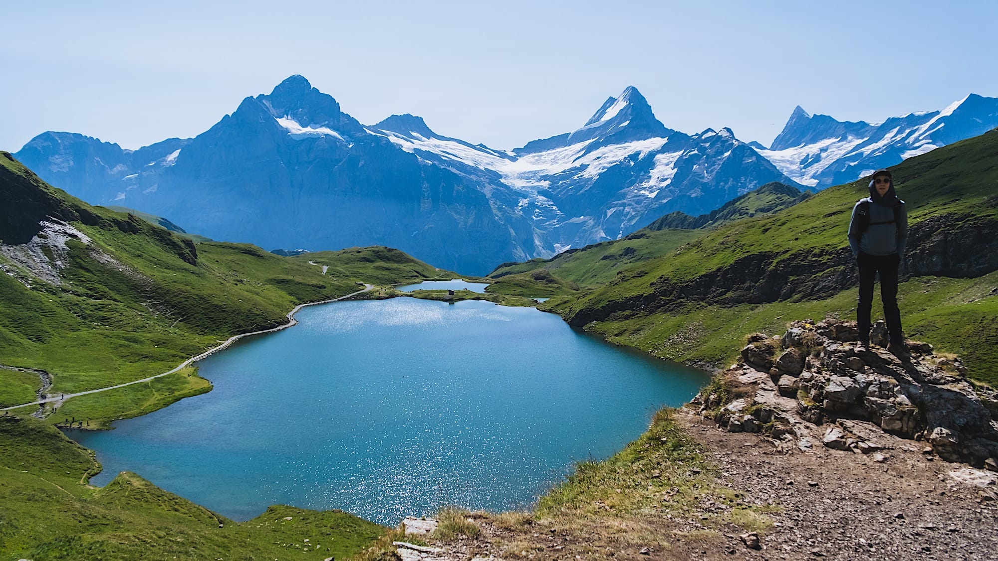
Continue along the second lake. After passing this lake, the trail will get steeper, but continue just a bit further, just high enough to catch this stunning view.
5 Go back
From here, go back the same way you came here, or as I mentioned above, continue straight to find the Faulhorn Hut.