 Paloma
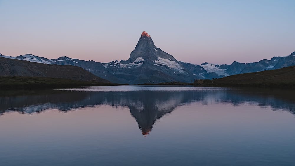
Table of contents
Five lakes, one trail, and the Matterhorn as backdrop. If you thought the classic postcard shot of the Matterhorn was impressive, wait until you see it upside down.
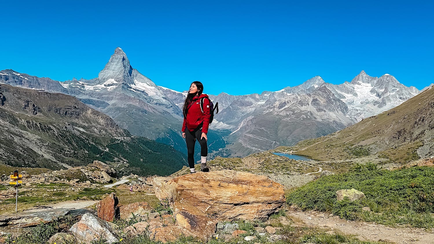
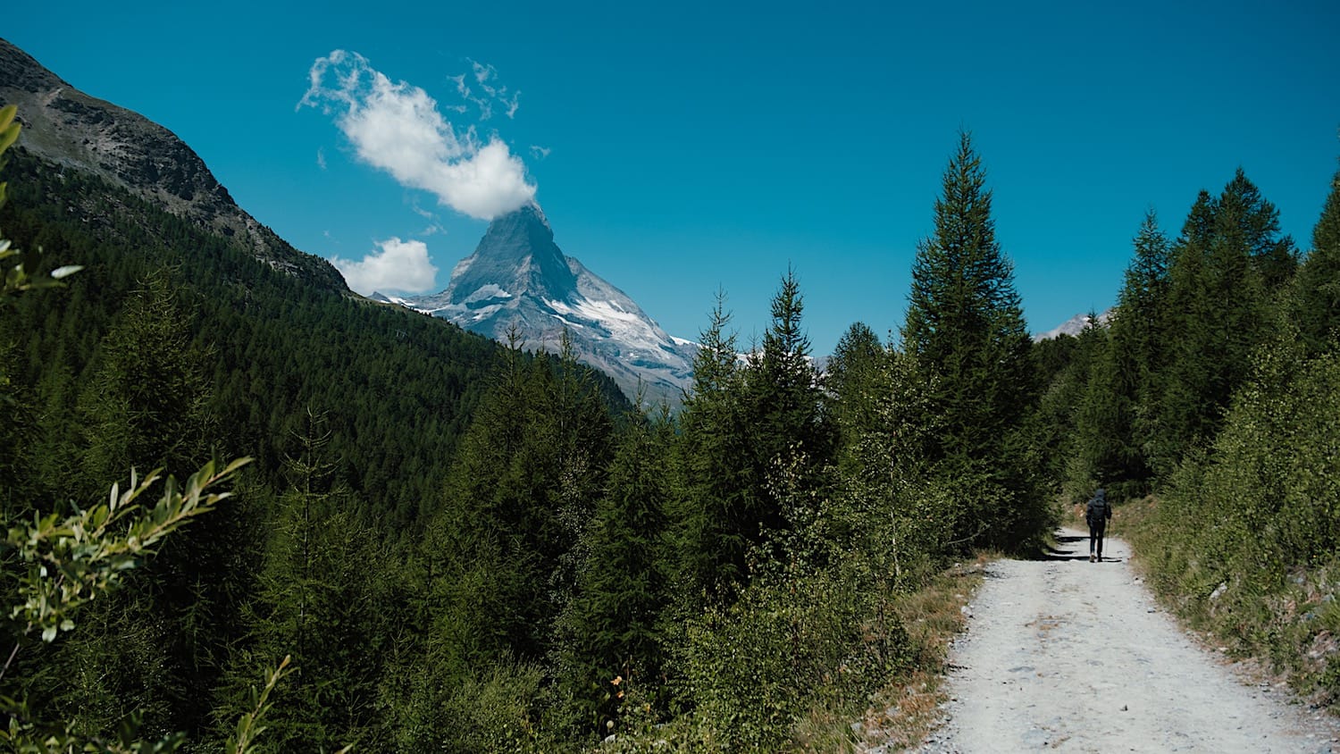
The Fünf-Seenweg (Five Lakes Walk) is one of the most photographed hikes in Switzerland, and it actually lives up to the hype. Unlike a lot of "iconic" trails that turn out to be a single viewpoint everyone crowds around, this trail gives you views over the Matterhorn from different angles: mirrored on a lake, with a forest below it, alone dominating the landscape, and if you're lucky, you might even have it as background to some adorable sheep.
No technical sections, no scrambling, just one alpine lake after another with the Matterhorn following you the whole way.
Here's everything you need to hike it yourself: the trail map, how to get to Zermatt and from there to the trail, the difficulty, costs, and operating info.
The hike at a glance
Medium- Distance
- 6.7 miles (10.8km), point-to-point
- Time needed
- 4 hours total
- Elevation gain
- 942ft (287m) up & down
- Starting point
- Funicular to Sunnegga valley station
- Parking
- Matterhorn Terminal Täsch
- Cost
- 48CHF, some discount cards accepted
- Crowds
- Low to Medium
- Sun exposure
- High
Trail overview
Area Map
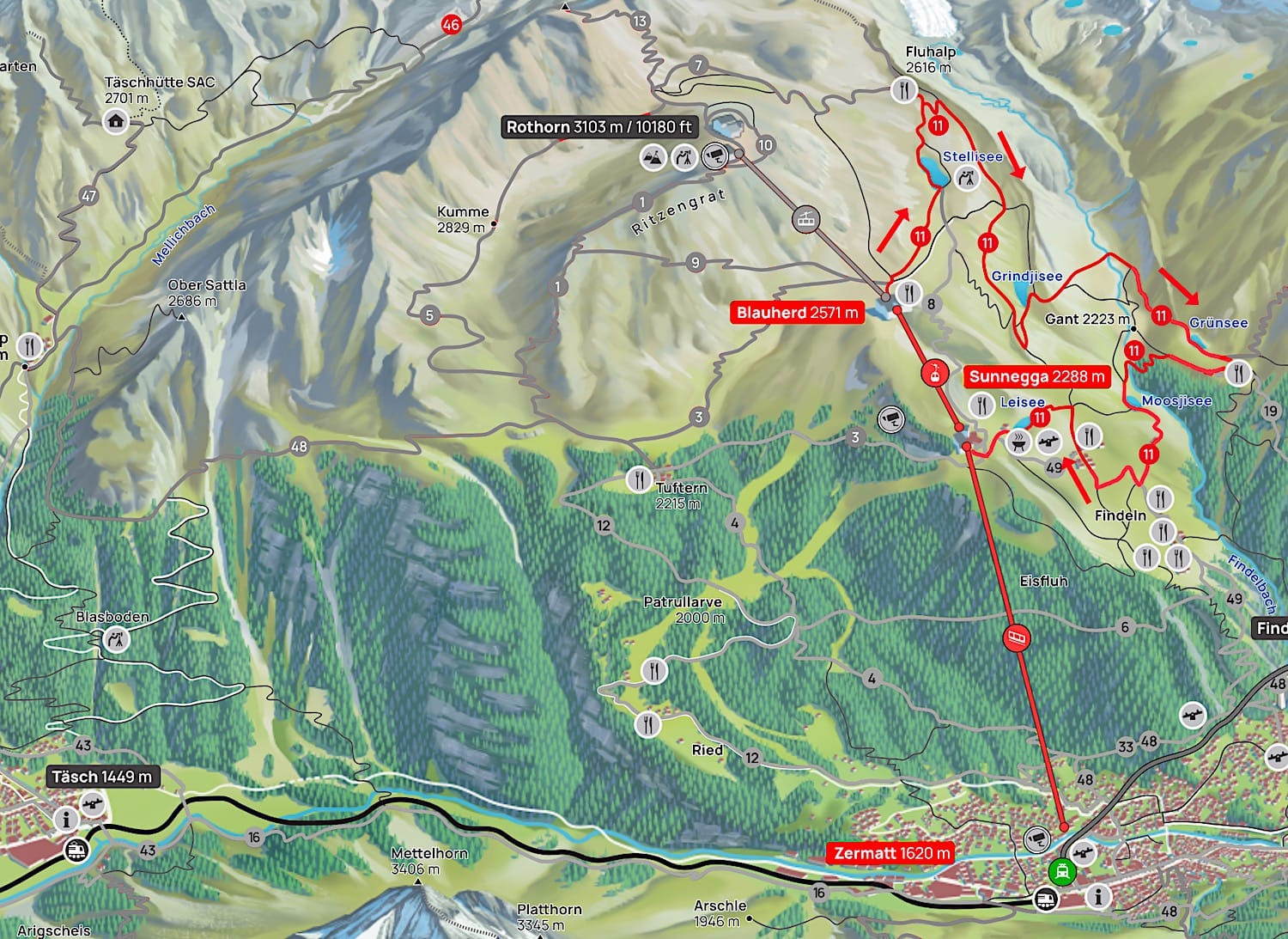
Hiking Map
Difficulty
This hike is rated medium, and I actually agree with that rating as the trail goes downhill overall. However, you'll still have to climb to each lake, even if the overall path goes downhill.
Variations
You can always choose to shorten the hike whenever you're between 2 lakes, since there are plenty of trails in the area. To do so efficiently without getting lost, I highly recommend downloading the hiking route in an app like AllTrails or Komoot, so you can refer to it offline.
How to get to Zermatt
By car
Zermatt is a car-free town, so drive to the town of Täsch and park at the Matterhorn Terminal Täsch, a covered, paid parking lot with 2,100 spaces, 131 of which are in a separate E-Zone for electric cars.
From there, take the "Zermatt Shuttle" train to Zermatt. The return ticket costs 17.20 CHF, and it runs every 20 minutes from 5:55 to 21:55. In the evening, it runs every hour until 00:30/01:00. On weekends, it runs all night.
Other parking lots in Täsch offer paid transfer services directly to and from Zermatt.
From Zermatt train station, walk for about 8 minutes to the Sunnegga funicular valley station.
By public transportation
Take a train straight to Zermatt train station, then walk 8 minutes to the Sunnegga funicular valley station.
Practical planning
Operating hours
The funicular from Zermatt to Sunnegga runs daily every 10 to 20 minutes from 8:00 a.m. or 8:30 a.m. to 6:00 p.m. during summer
Note that the Sunnegga to Blauherd cable car runs only from 08.10 a.m. or 8:40 a.m. to 16:30 or 17:00 in summer. That means if you're planning to stay overnight on the mountain, you shouldn't wait until the last funicular to start up.
Check both schedules here.
Cost
Buying separate tickets for the funicular and the chairlift is more expensive than buying the tailored Five Lakes Walk Kombi ticket. This ticket includes one trip from Zermatt to Sunnegga to Blauherd and one trip from Sunnegga back to Zermatt for 48CHF.
Some discount cards are accepted. You can buy your tickets online here, or on-site at the Sunnegga Funicular valley station.
The trail in pictures
1 Funicular from Zermatt to Sunnegga
Once you have your tickets, walk through the tunnel that leads to the Sunnegga Funicular. It does get chilly inside the tunnel!
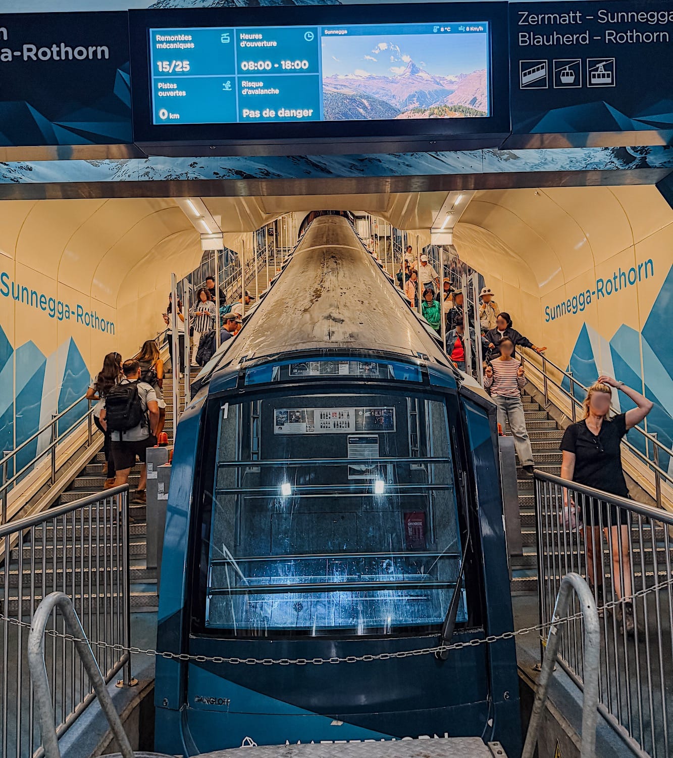
The ride up to Sunnegga lasts about 5 minutes, and if you want to see the tunnel during the ride, try to get a slot in the first or last cabin.
2 Cable car from Sunnegga to Blauherd
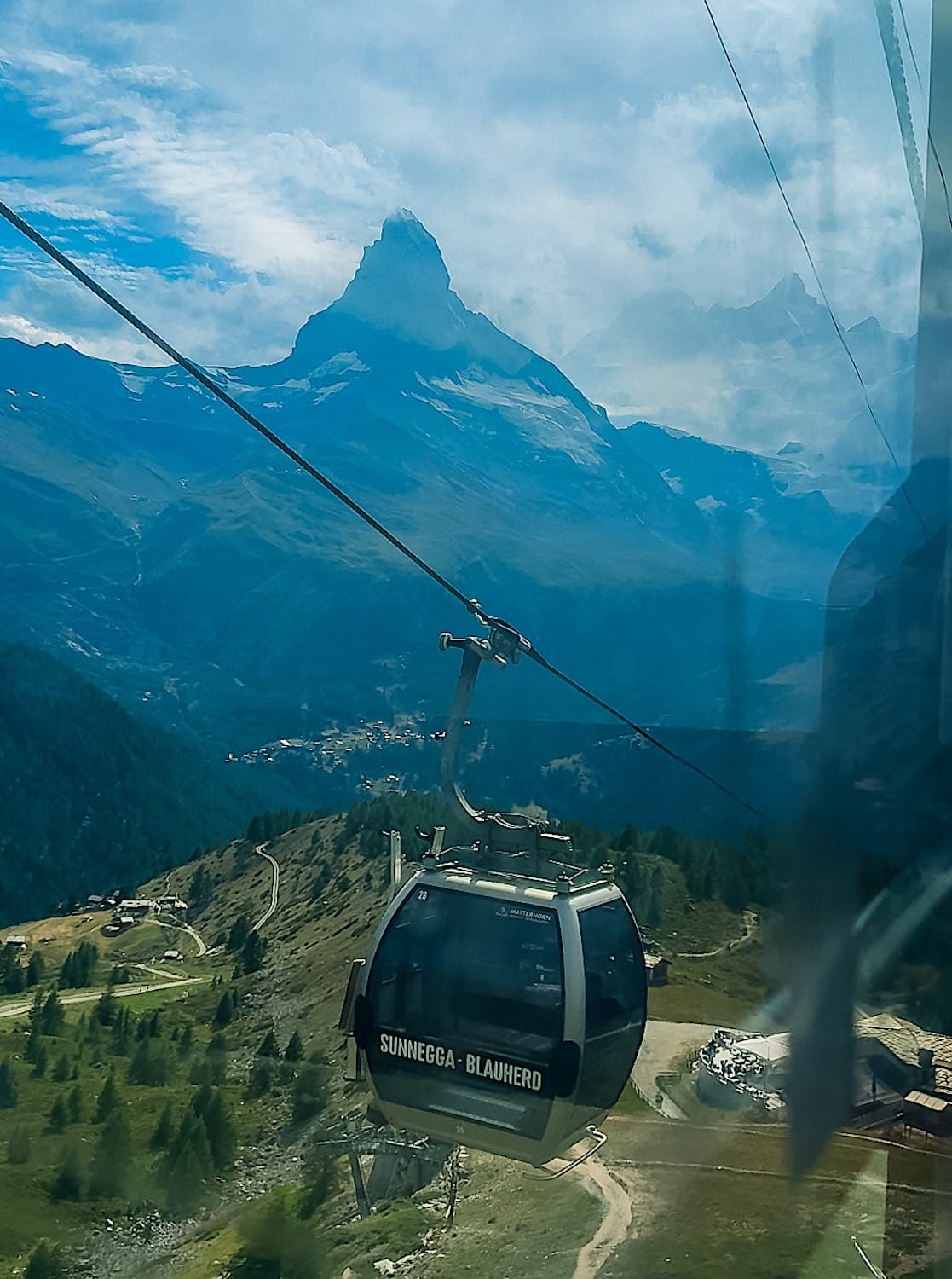
After you get off the funicular, the way to the Blauherd cable car is clearly marked. You will climb a few steps that lead you directly into the cable car station.
3 Fist Lake: Stellisee
When we got out of the cable car station, we missed the signs toward Stellisee, if there were any, so we just asked a cable car employee, who pointed us in the right direction.
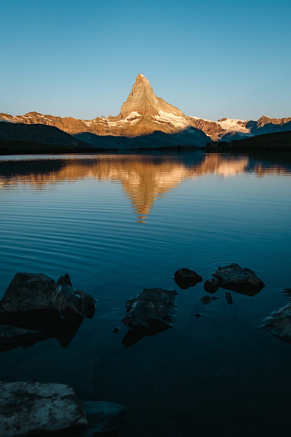
The trail starts uphill for about 100 meters, then it's a gentle downhill to Lake Stellisee. This is where the famous picture with the Matterhorn's reflection is usually shot.
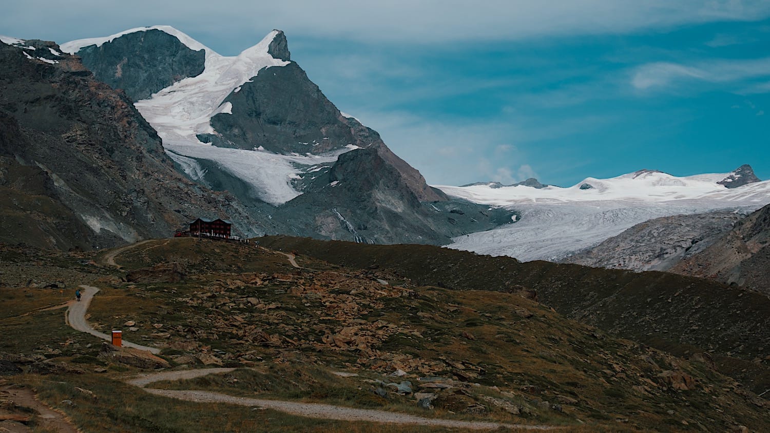
Optional: continue for about 1km (uphill) to the Fluhalp hut to grab something to eat and drink while enjoying views of the Matterhorn. This detour takes about 20 minutes of walking one way, and after you're done, you will need to return to Lake Stellisee to continue the hike.
4 To Lake Grindjisee
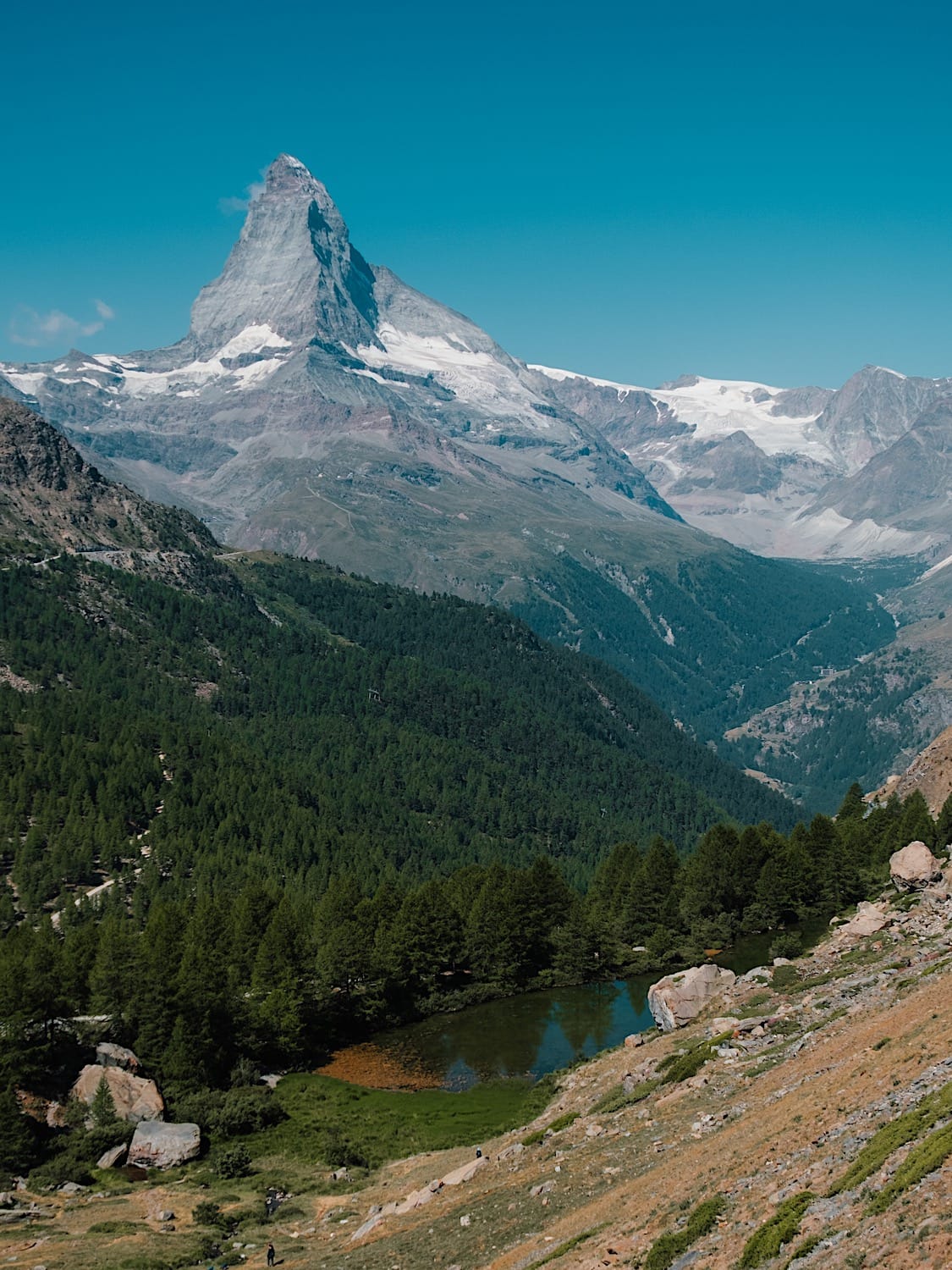
The next section of the trail is all downhill until the next lake, Grindjisee. The path is paved, and it can get steeper in some sections, but I saw people of all ages walking on it.
On this section, we deviated to a trail to the right because we saw some of the famous Swiss mountain sheep. They walk towards you in a somewhat intimidating way, but when a farmer started petting them, we did so too, and the sheep seemed to like it.
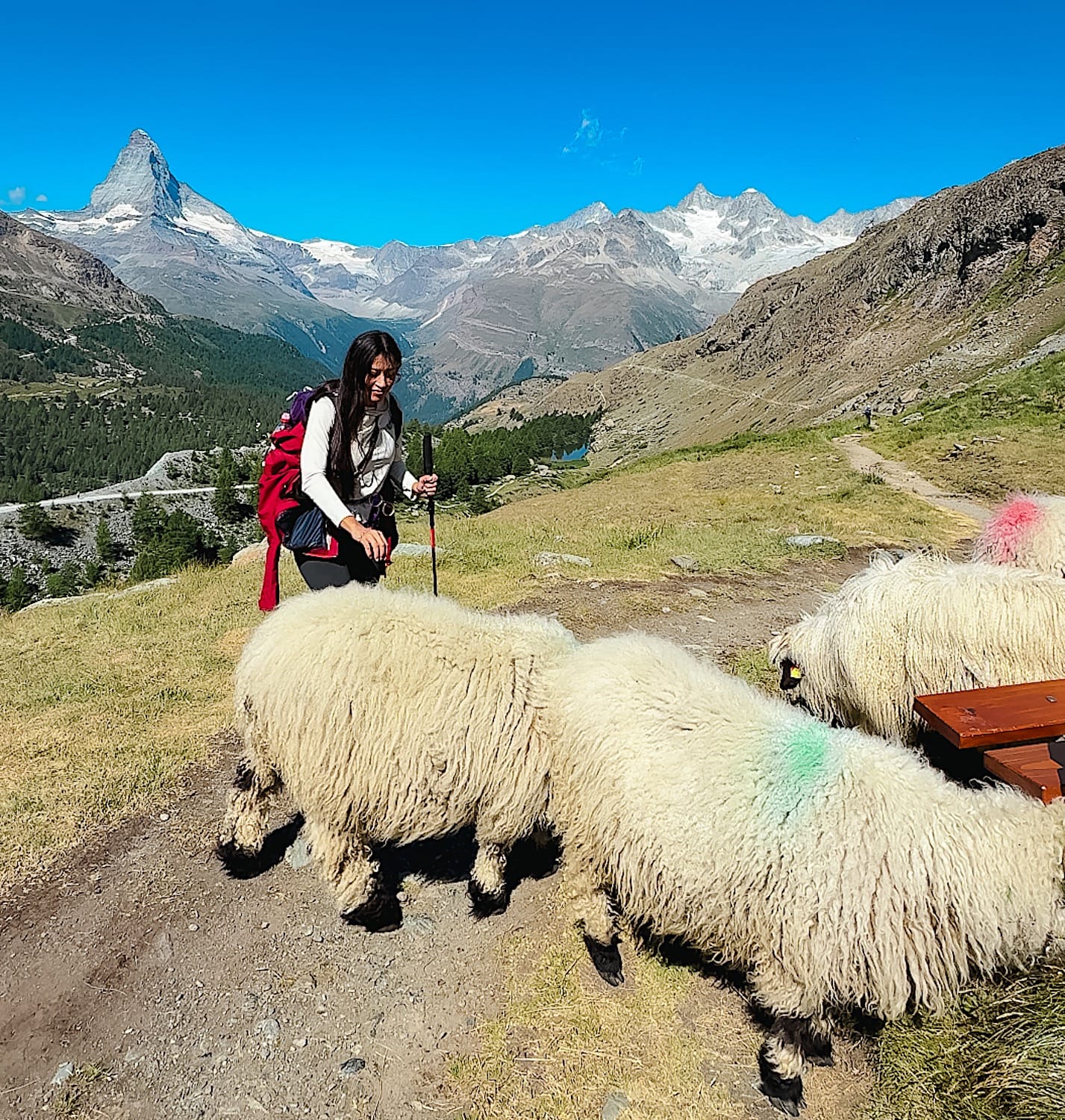
If this happens to you, I recommend you turn back and follow the trail as you were supposed to, since this trail forced us to descend a very steep, slippery path to reach the lake shore. And actually, we were only able to descend because we had our poles with us.
5 To Lake Greensee
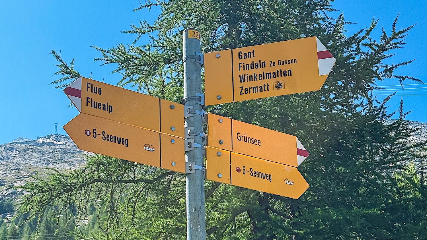
To reach the trail again from Lake Grindjisee's shore, you need a short climb; then the trail goes downhill again until you come across a sign at an intersection pointing to Lake Greensee. Follow it onto the uphill path to your left.
To be completely honest, we skipped that lake because the sun was intense, and we decided to shorten our hike.
6 To Lake Mosjesee
The next section of the trail goes downhill in switchbacks through a forest for a while, until you reach a dam.
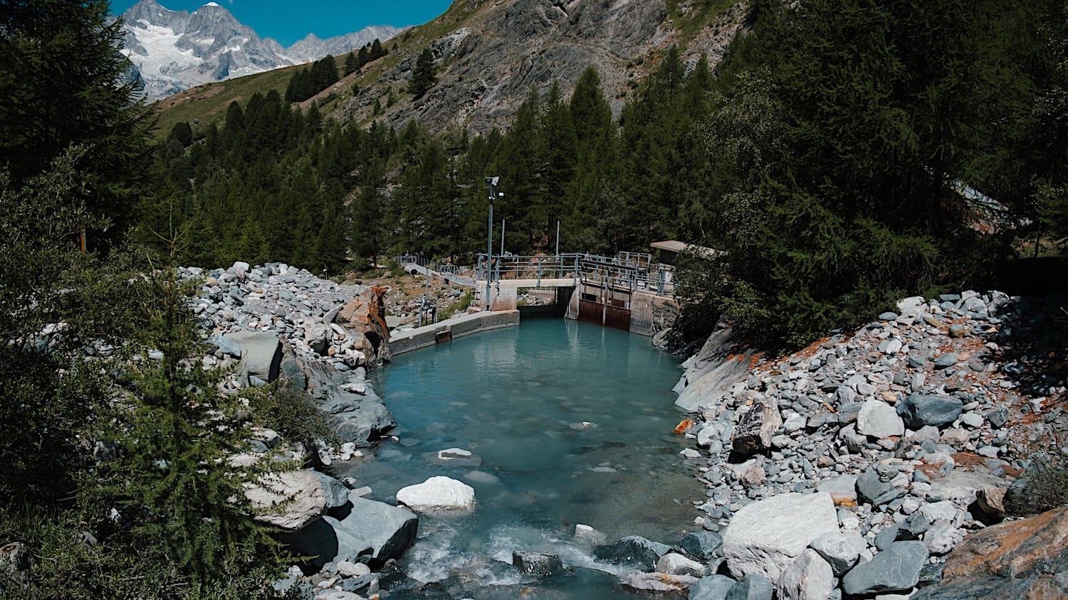
Then, it goes uphill again until you reach the Mosjesee. Unfortunately, the view of the lake with the Matterhorn behind gets spoiled by some sort of technical building. The picture below was taken with my back toward the Matternhorn.
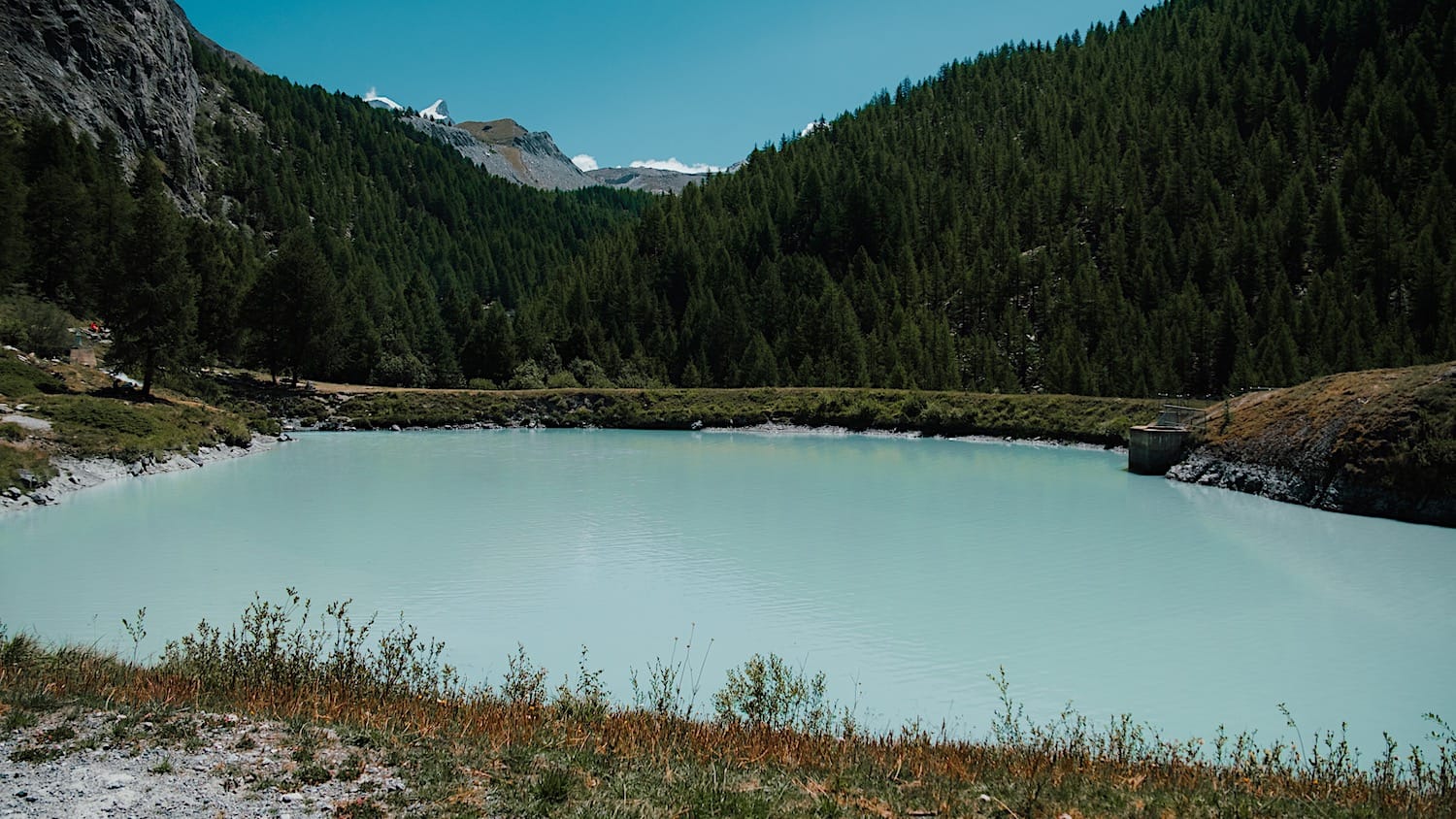
7 Last Lake: Leisee
The last part of the hike is uphill the whole way. Some sections are steep, so take your time and take in the views over the Matterhorn and the forest beneath it.
When you finally reach Lake Leisee, you will have a second chance to photograph the Matterhorn and its reflection.
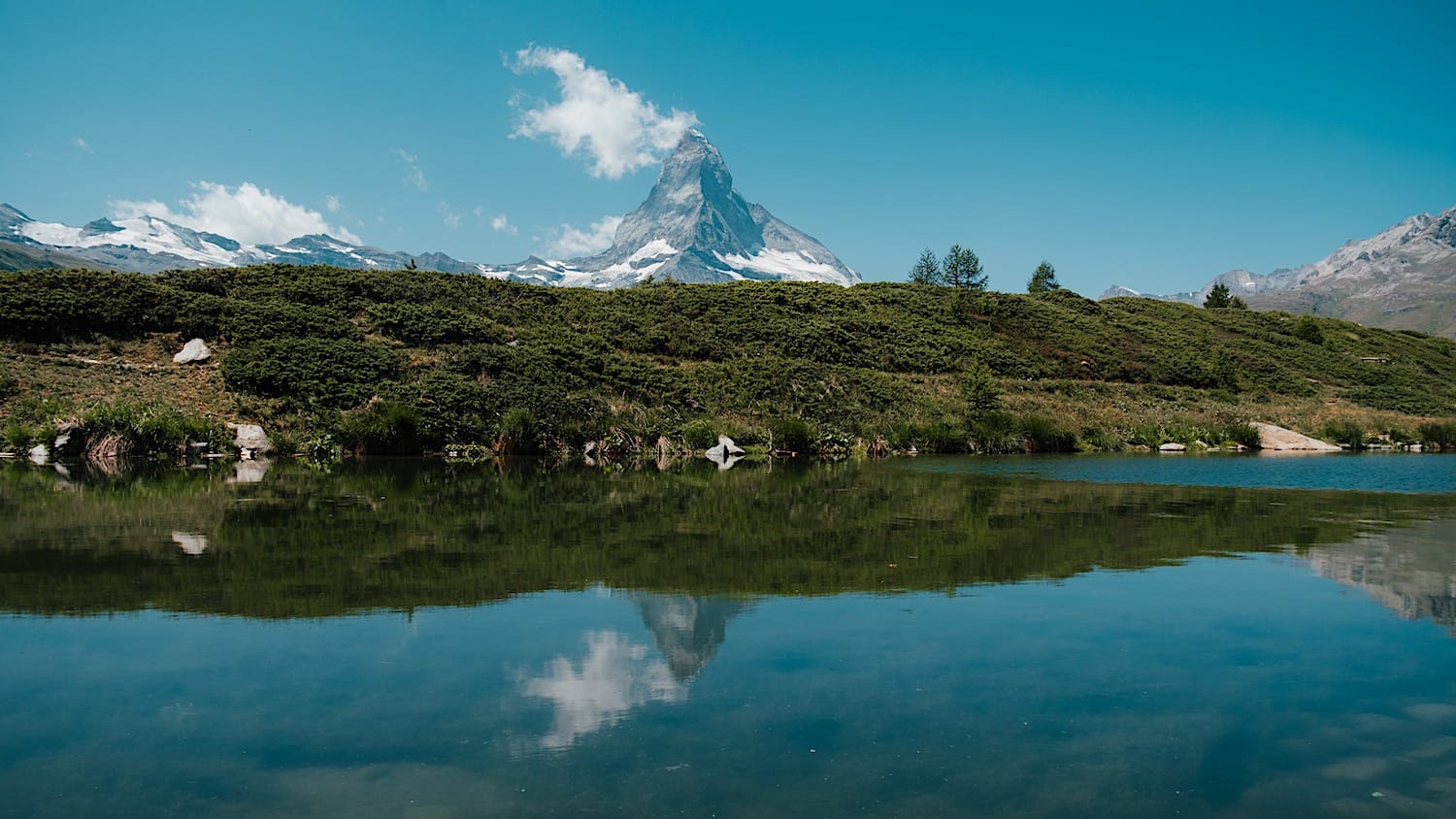
All the lakes are beautiful, but I'm glad this was the last one, because this is a bit of a hidden gem and its beauty was the perfect way to end the hike.
8 Back to Zermatt
On this hike, you have to earn the way down, as you will need to climb one last steep uphill to reach the funicular station.