
 Paloma

Table of contents
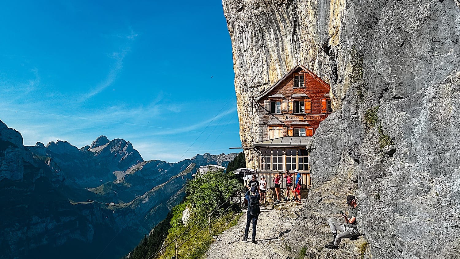
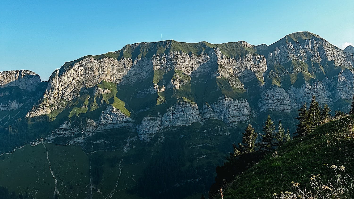
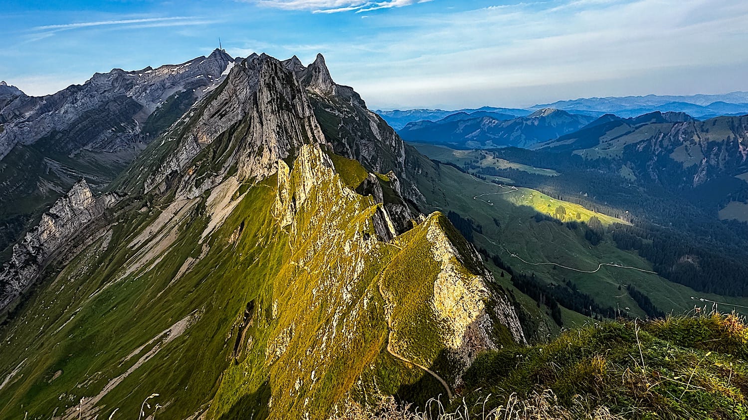
This hike is hands down one of Switzerland's most dramatic hikes. It lets you discover one of the world's most unique mountain huts, Berggasthaus Äscher, and admire epic peaks shaped by tectonic plate collisions.
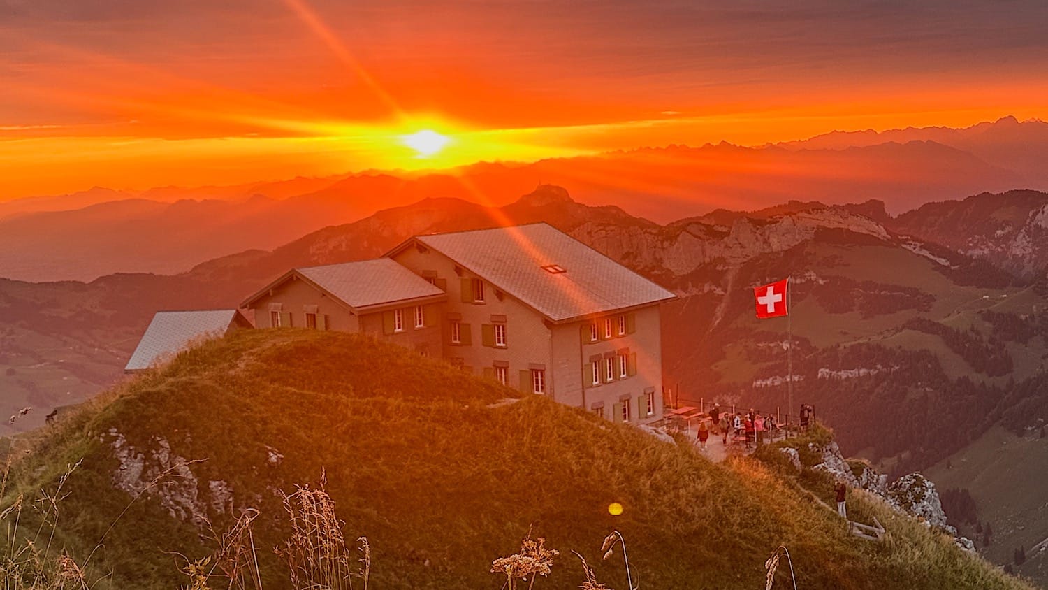
Berggasthaus Äscher was built straight into the cliff face of the Alpstein massif, and many people who take the gondola up only ever see this one spot.
But Äscher Hut is only one part of everything this mountain has to offer. In my opinion, the real star of the show is the Schäfler Ridge above the hut, but you will have to earn that view! The trail gets harder above Ebenalp, with slippery sections and no safety rail, so this isn't just a stroll to a famous viewpoint.
This guide covers everything you need to plan your Schäfler & Äscher hike: how to get there, the trail map, difficulty, and what to expect at each stage.
The hike at a glance
Medium- Distance
- 2.3 miles (3.7 km), out-and-back
- Time needed
- 4 hours total
- Elevation gain
- 1,509 ft (460 meters) up & down
- Starting point
- Cable car Wasserauen-Ebenalp valley station
- Parking
- Cable car parking lot or across the cable car station or Parkplatz Wasserauen
- Cost
- 36 CHF return, some discount cards are accepted
- Crowds
- Medium to High
- Sun exposure
- High
Trail overview
Area Map
The map below shows an overview of the hiking area: cable car from Wasserauen to Ebenalp, then hike to Schäfler Hut, and finally hike back down to Äscher Hut.
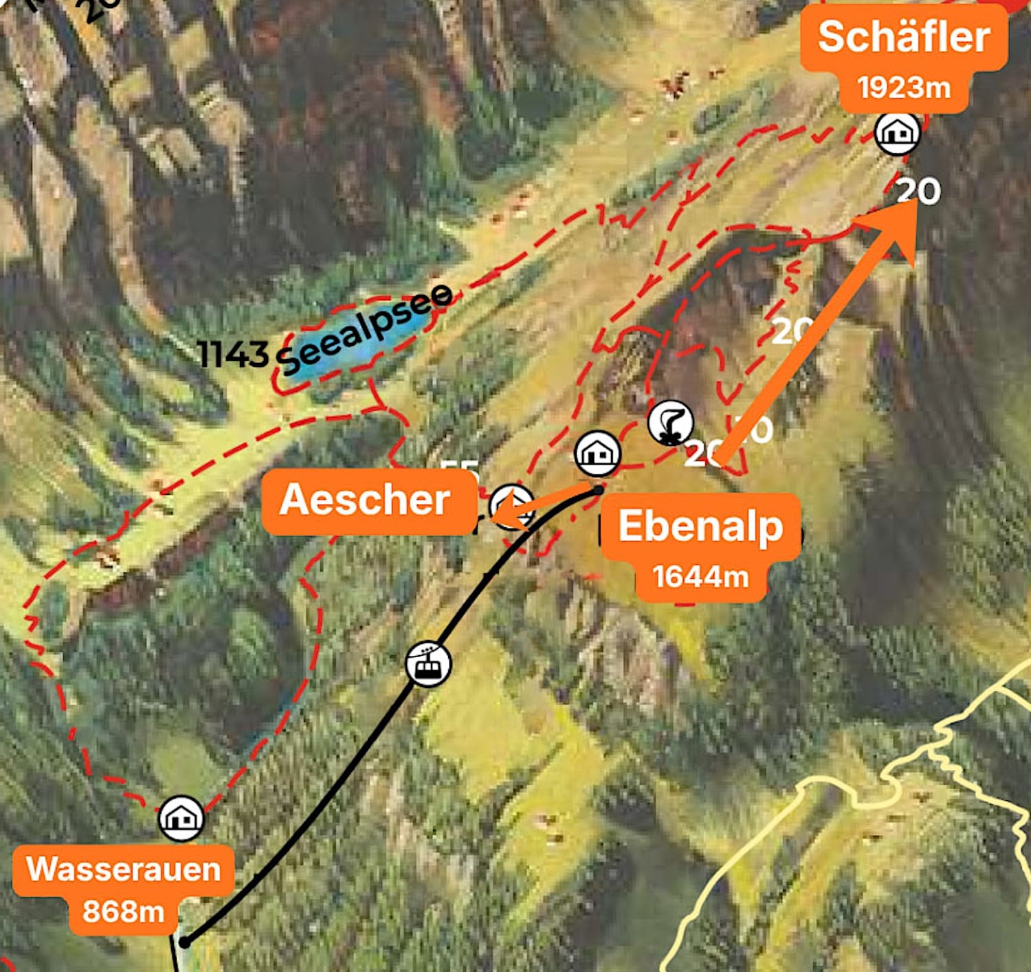
Find an interactive map of the area on the official Ebenalp website.
Hiking Map
Difficulty
The hike described in this article ends at the Schäfler Hut viewpoint and is rated moderate, especially because of some short but steep sections on loose dirt.
On the way down to Äscher Hut, the trail is fully paved, but the first half is steps, which isn't very knee-friendly.
Variations
Option 1: One of the most popular ways to do this hike is to continue past the Schäfler Hut, then descend to Seealpsee lake in a loop.
However, I wouldn't recommend that route if you're not an experienced, sure-footed hiker. Some passages are on very steep slopes with slippery gravel, and most of the way is very exposed. Even with chains to hold onto, you should be careful on those sections.
Option 2: You can also descend from Äscher Hut to Seealpsee, but that's also a risky trail, and some people have died there in the past (see the article here).
If you want to visit Seealpsee while you're in the region, you can do it from the town of Wasserauen via the service path. Read all the details on my full Seealpsee hiking guide.
How to get there
By car
Drive to the Wasserauen cable car valley station, about 1h20 from Zürich.
You have 3 parking options:
- The cable car parking lot, a small paid parking lot that fills up pretty quickly
- Some paid parking spots right across the cable car along the road leading to it,
- Parkplatz Wasserauen, a bit further down the road but close enough to the cable car station.
I highly recommend downloading a parking app before you arrive to save time. I personally use the Parkingpay app, as it is easy to register as a foreigner, and you can add or remove time directly from your phone.
By public transportation
Take a train to Wasserauen. From Zürich, it takes about 2 hours, with a connection either at Gossau SG or St. Gallen.
The train station is right across from the cable car station, a 1-minute walk away.
Where to stay
Appenzell
This is the closest bigger city to the trail start. It only takes about 10 min to get there by car or train.
Traditional interior: Hotel Appenzell
Modern interior: Traube Restaurant & Hotel
Wasserauen
If you prefer to stay right next to the trail start, sleep here. Hotel Alpenrose is the perfect place to stay.
On the mountain
Alternatively, if you want to wake up on the mountain, both Schäfler Hut & Ebenalp Hut are excellent options.
We stayed in a private room at Schäfler Hut, and it was pretty cozy, though very noisy, since you hear every movement your neighbors make. Additionally, being a mountain hut, there was no running water in the toilets, so you have to flush with a bucket and "shower" with a wet towel.
But if your goal is to catch sunrise and/or sunset with the best panoramic view, definitely try to get a spot at Schäfler Hut. That way you'll be right next to the best viewpoints.
People sleeping at Ebenalp Hut can still catch both sunset and sunrise, but you have to be ok with hiking in the dark, and carrying a headlamp is highly recommended if you decide to do it.
Practical planning
Operating hours
The cable car runs daily every 15 minutes from about 7:30 a.m. to 6:00 p.m. during summer. Double-check the current timetables on the official Ebenalp website.
Service may be interrupted in April and December for maintenance work, and in bad weather.
Cost & Discount Cards
A return ticket for the Ebenalp cable car costs 36 CHF for adults and 15 CHF for children over 6.
The SBB Half-Fare travel card, Swiss Pass, Swiss Flexi Pass, and GA give you 50% off the ticket.
You can buy tickets at the valley cable car station or online on the official website.
Where to eat
You have several food and drink options along the way. Schäfler Hut, Ebenalp Hut & Äscher Hut offer hot meals and drinks, making them excellent places to eat on the mountain.
If you'd rather eat after your hike, Hotel Alpenrose, a 6-minute walk from the cable car valley station, is a great choice.
The trail in pictures
1 From Wasserauen to Ebenalp
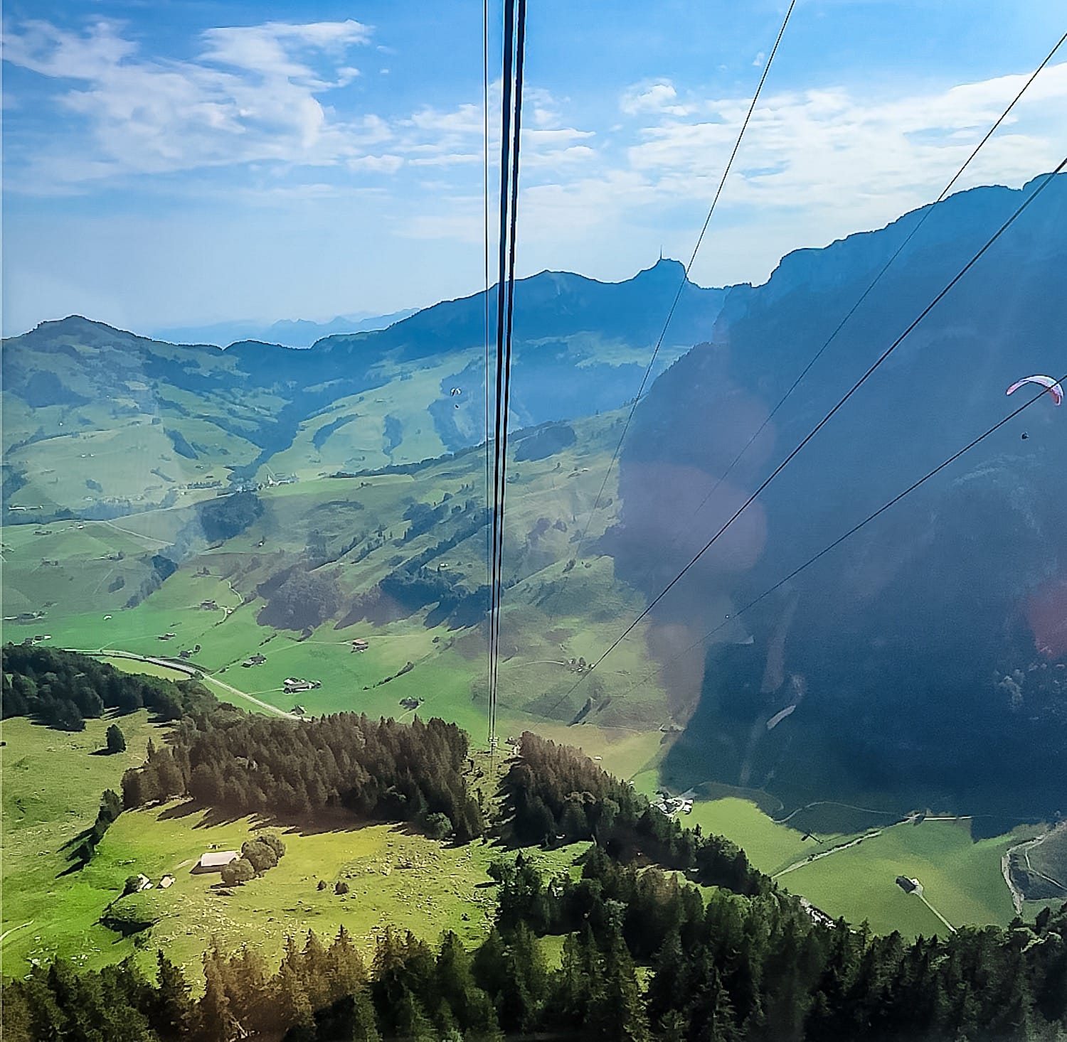
I wouldn't call this particularly scenic by Swiss standards, but it still offers a nice view over the valley.
2 From Ebenalp to Schäfler
When you get off the gondola, two trails go uphill; you can take either, but we followed the one toward Ebenalp Hut. The trail is pretty straightforward; the only "rule" is that you should keep walking uphill.
After Ebenalp Hut, the trail had sections with different steepness, but they were all manageable.
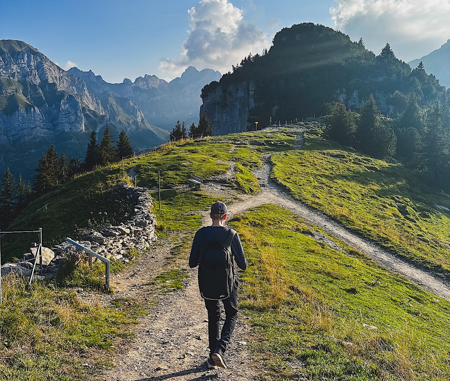
After a while, Schäfler Hut will come into view in the distance. You will pass a wooden cabin, then reach an intersection where you must turn left.
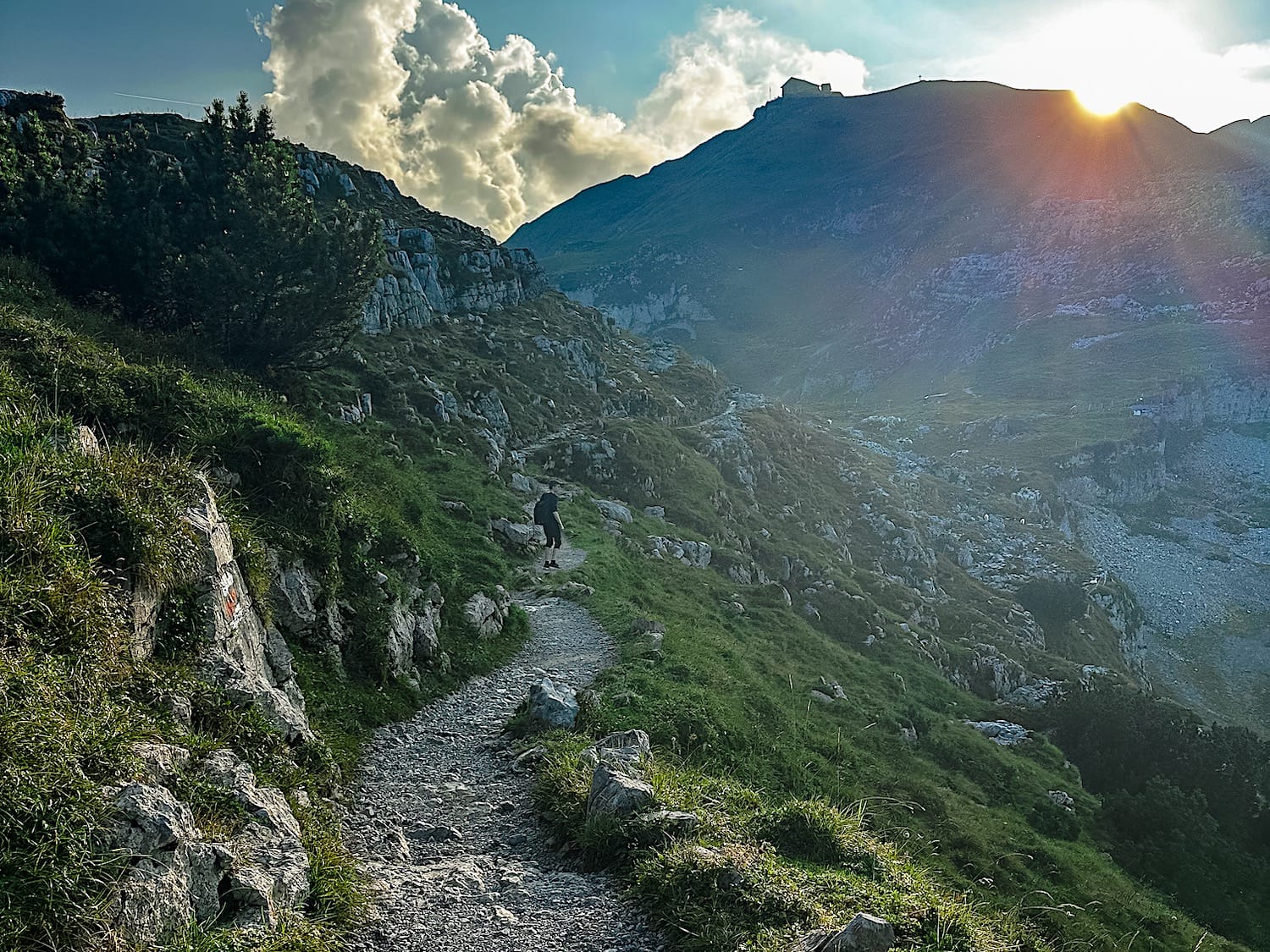
The last section is steeper and has some loose gravel.
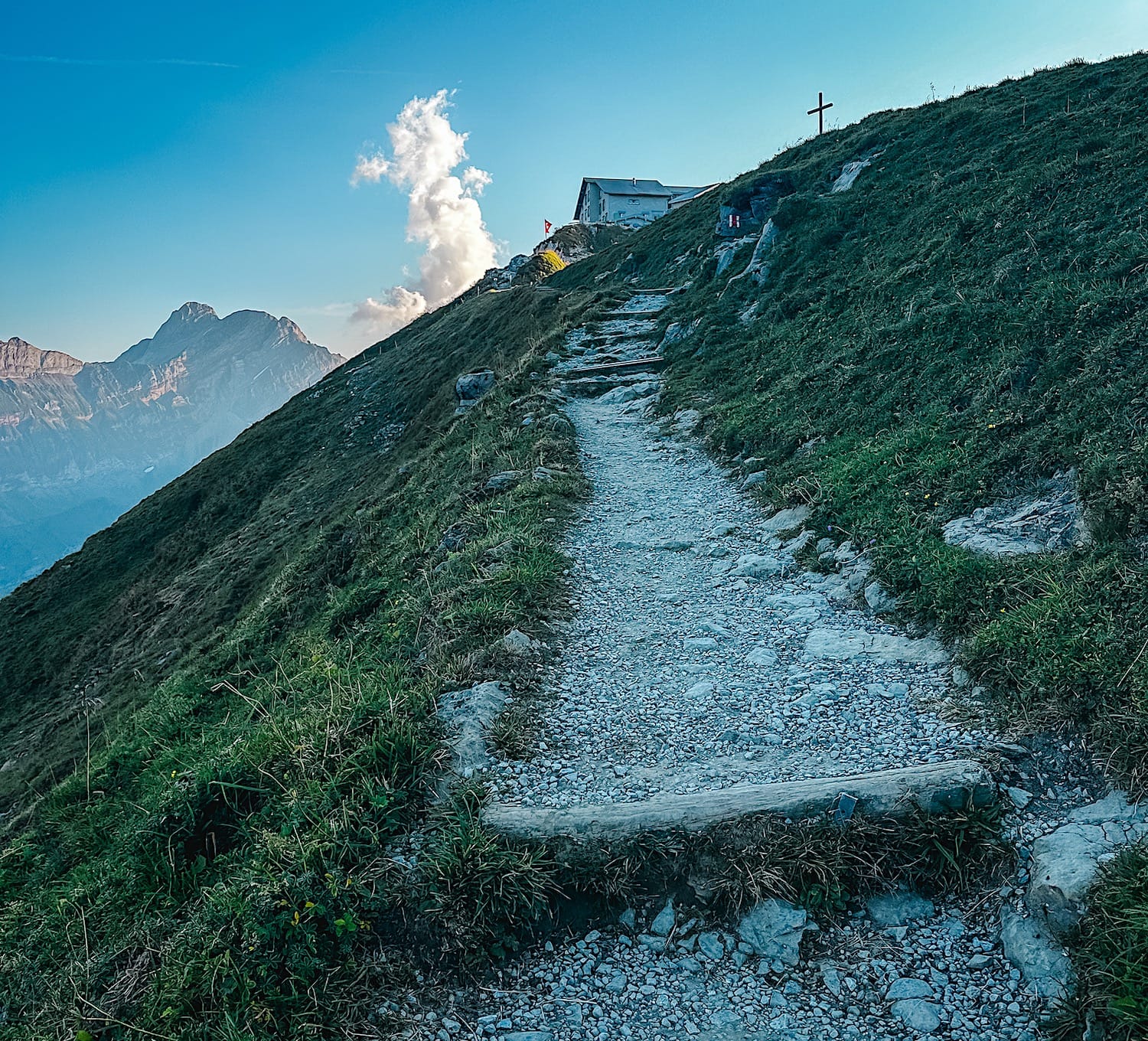
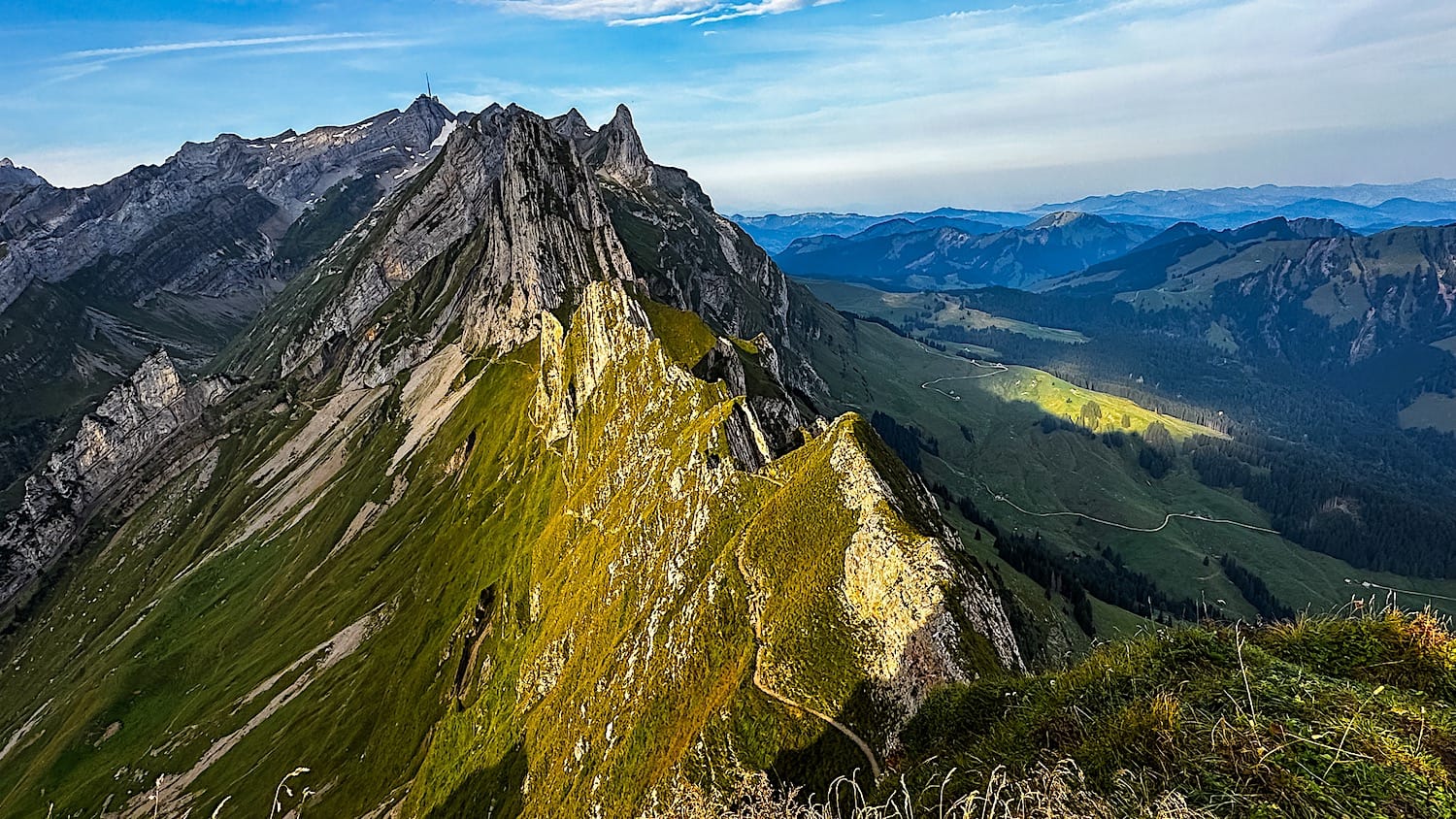
At the top, you can grab something to eat and drink at the Schäfler Hut. The viewpoint is about 5 minutes from the hut, but be careful, as some sections are exposed with serious drop-offs.
3 From Schäfler to Äscher Hut
Once you're ready, head back down to the gondola station you arrived at. Keep walking on the trail to the left of the gondola station.
The first half of the trail is made out of stairs. After about 20 minutes downhill, you will reach a cave you must go through. Be careful there, because the humidity can make the floor slippery!
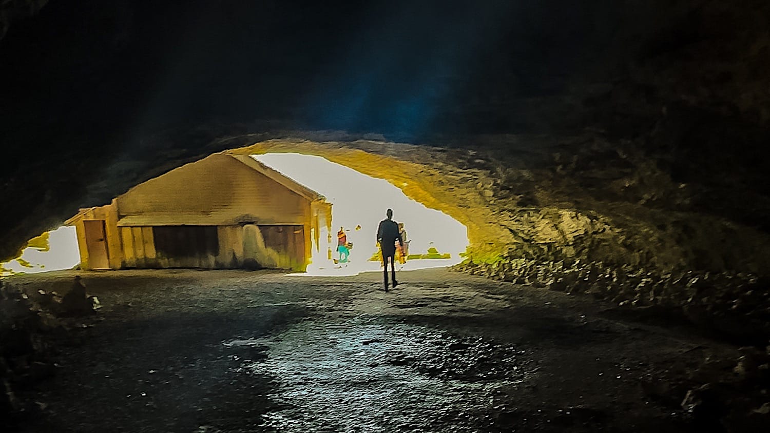
After the cave, only a few meters remain on a steep downhill slope to the Äscher Hut.
You can buy something to drink and/or eat at Äscher Hut.
4 Back to the parking from Äscher Hut
When you're ready, walk back up to the gondola station and ride it to the parking lot.
Schäfler & Äscher Hike FAQ
1. What is the Berggasthaus Äscher?
The Berggasthaus Äscher (also spelled Aescher) is one of the world's most unusual mountain huts. It was built straight into the cliff face of the Alpstein massif in the Appenzell Alps, in eastern Switzerland.
2. How do I get to the Äscher Hut?
From the Ebenalp cable car station, take the downhill trail. The first half is steps. After about 20 minutes downhill, you walk through a cave, where the floor can be slippery from the humidity. After the cave, a few more meters of steep downhill bring you to the hut. The trail is fully paved.
3. Is the Berggasthaus Äscher open all year?
No. The tourist office lists it as open from May to November, and another source says it's closed from December to April. Check aescher.ch before you go.
4. Can you visit the Äscher without doing the Schäfler hike?
Yes. Take the Ebenalp cable car, then walk down from the station: it's about 20 minutes downhill, through a cave, and the whole trail is paved. The first half is steps, which isn't very knee-friendly, and you have to walk back up to the gondola station afterward.
5. Is the Schäfler ridge dangerous?
The hike in this guide, which ends at the Schäfler Hut viewpoint, is moderate. The viewpoint is about 5 minutes from the hut, and some sections are exposed with serious drop-offs. Continuing past the hut to the Seealpsee is much harder: very steep slopes, slippery gravel, and exposed sections, even with chains. I wouldn't recommend it unless you're experienced and sure-footed.
6. What is it like to sleep at the Schäfler Hut?
We stayed in a private room. It was cozy but noisy, and the toilets have no running water, so you flush with a bucket. Rooms are ready from 5:00 p.m. and must be vacated by 8:00 a.m., and quiet time starts at 11:00 p.m.
7. Can I bring my dog to the Schäfler Hut?
Dogs aren't allowed to sleep in the guest rooms, but they can spend the night in an outbuilding, and you need to bring your own dog blanket.
8. Schäfler, Saxer Lücke or Stoos Ridge: which should I choose?
The Schäfler & Äscher hike is 3.7 km out-and-back (about 4 hours, 36 CHF cable car). The Saxer Lücke is an 8.6 km out-and-back (about 4 hours, 40 CHF cable car, rated Medium T2). The Stoos Ridge is 4.5 km one way (2 to 3 hours of walking, 58 CHF with the lifts).
These hikes are very different, so choose one based on your fitness level and what you want to see. For the most dramatic peaks, choose the Schäfler & Äscher hike; for the most impressive lake, choose Stoos; and for an easier hike with high reward, choose Saxer Lücke without Fählensee.