
 Paloma

Table of contents
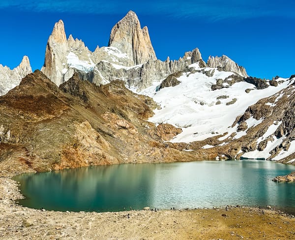
El Chaltén is one of Argentina's hiking hotspots, and for good reason! The mountain's skylines are iconic, and the hikes here definitely belong on anyone's bucket list.
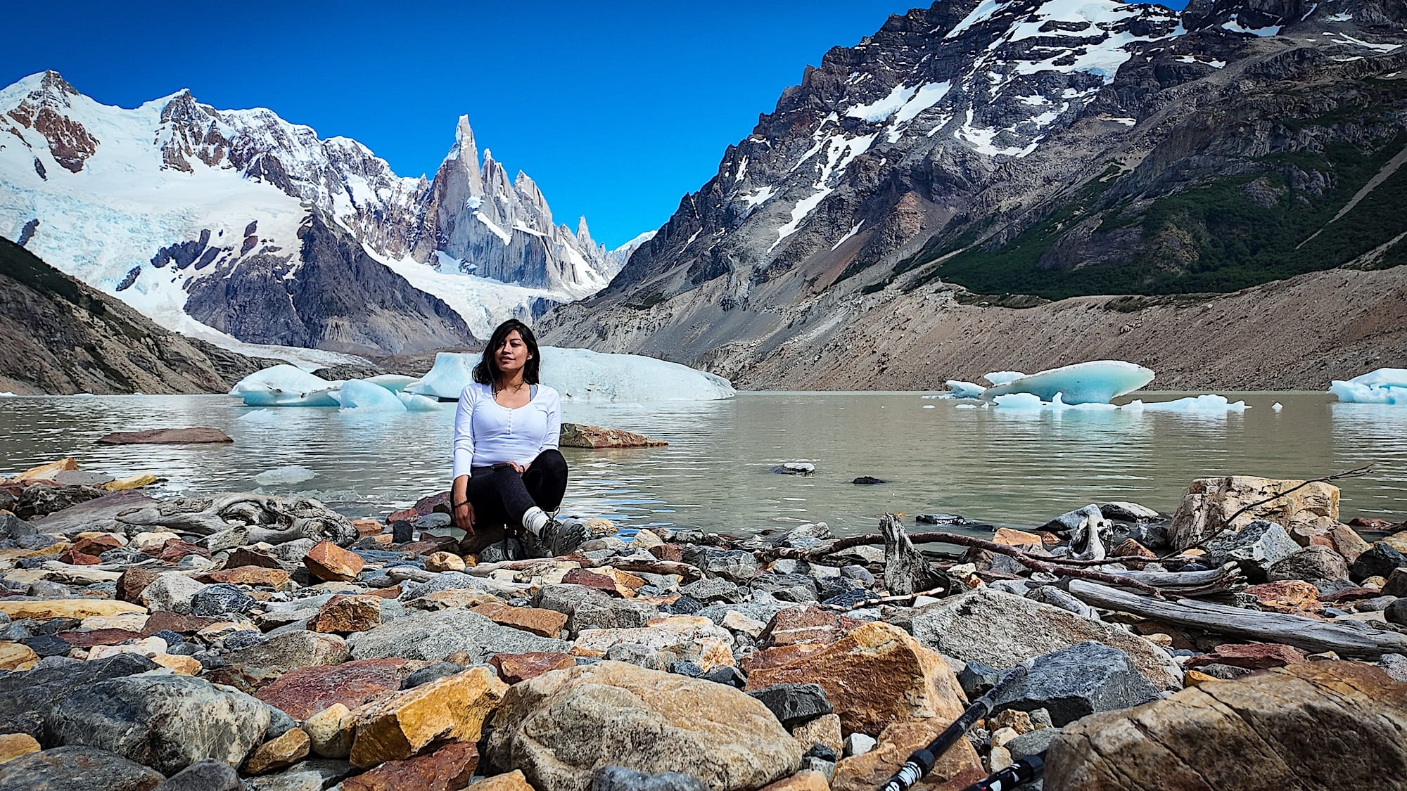
The Laguna Torre hike is the second most popular hike in El Chaltén. Although it's less known than its famous brother, Mount Fitz Roy, Cerro Torre is stunning, and this hike will provide you with unforgettable memories.
In this guide, you will find everything you need to know about the Laguna Torre hike, from how to get there and entrance fees to what to pack and a breakdown of the trail.
The hike at a glance
Hard- Distance
- 12.4 mi (20 km), out-and-back
- Time needed
- 6 to 8 hours total
- Elevation
- 1939 ft (591 m) up & down
- Starting point
- Laguna Torre Trail, in El Chalten
- Cost
- about 42 USD, cheaper if bought as a multi-day hiking pass
- Crowds
- Low to Medium
- Best months to go
- December to March
- When to go
- Early morning, on a clear day
- Sun exposure
- Medium to High
Trail overview
Hiking map
Difficulty
Officially, this is a hard hike, and it is, because of its length. Additionally, the uphill just before reaching the lagoon is demanding. That said, in my opinion, this is the easiest of the big, famous Patagonia hikes (I'm including Chile's hikes in that statement).
So, if this is your first hike in the area, it might feel hard and never-ending, but if you've hiked in the area before, it should feel more moderate than hard.
How to get to the Laguna Torre trail
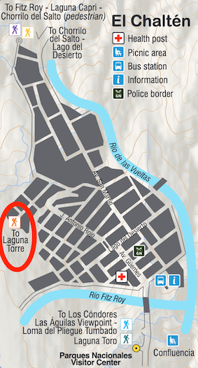
The trail to Laguna Torre starts right in the town of El Chaltén, so if you're staying in town, you can walk there (here in Google Maps).
Practical planning
Fees to Hike Laguna Torre
Laguna Torre is situated inside Los Glaciares National Park in Argentina. From 2026, the entrance fee for foreigners will be 60,000 pesos (around USD 42) per day. If you intend to hike in El Chaltén for several days, you can reduce the daily costs by buying a multi-day pass.
What to bring on a hike to Laguna Torre
- Sturdy hiking shoes
- At least 1.5 liters of water per person
- Sunscreen, sunglasses & hat on sunny days.
- Layers - the weather can quickly change
- Camera
- Food and snacks - this is a long hike, and you won't find any services on the mountain.
When to Hike to Laguna Torre
From December to March, summer is the best time to hike to Laguna Torre. You can also hike to Laguna Torre in the shoulder season months of April and October. Outside these months, the trail might be closed due to extreme winter weather.
Other things to consider
This is the second most popular hike in El Chaltén, so start as early as possible to avoid crowds.
Another reason to start early is the annoying horseflies that keep trying to land on your body, especially once the sun is fully up.
Some parts of this trail are exposed, and Patagonia's wind can be strong. If it's very windy, consider rescheduling this hike for another day.
You will most likely lose service once you're in the mountains, so for safety reasons, it's essential to download the trail map on your phone in advance.
The trail in pictures
1 El Chaltén to Laguna Torre
The trail is well signaled, and each kilometer is marked with a sign. It is uphill for the first two kilometers and then gets relatively flat.
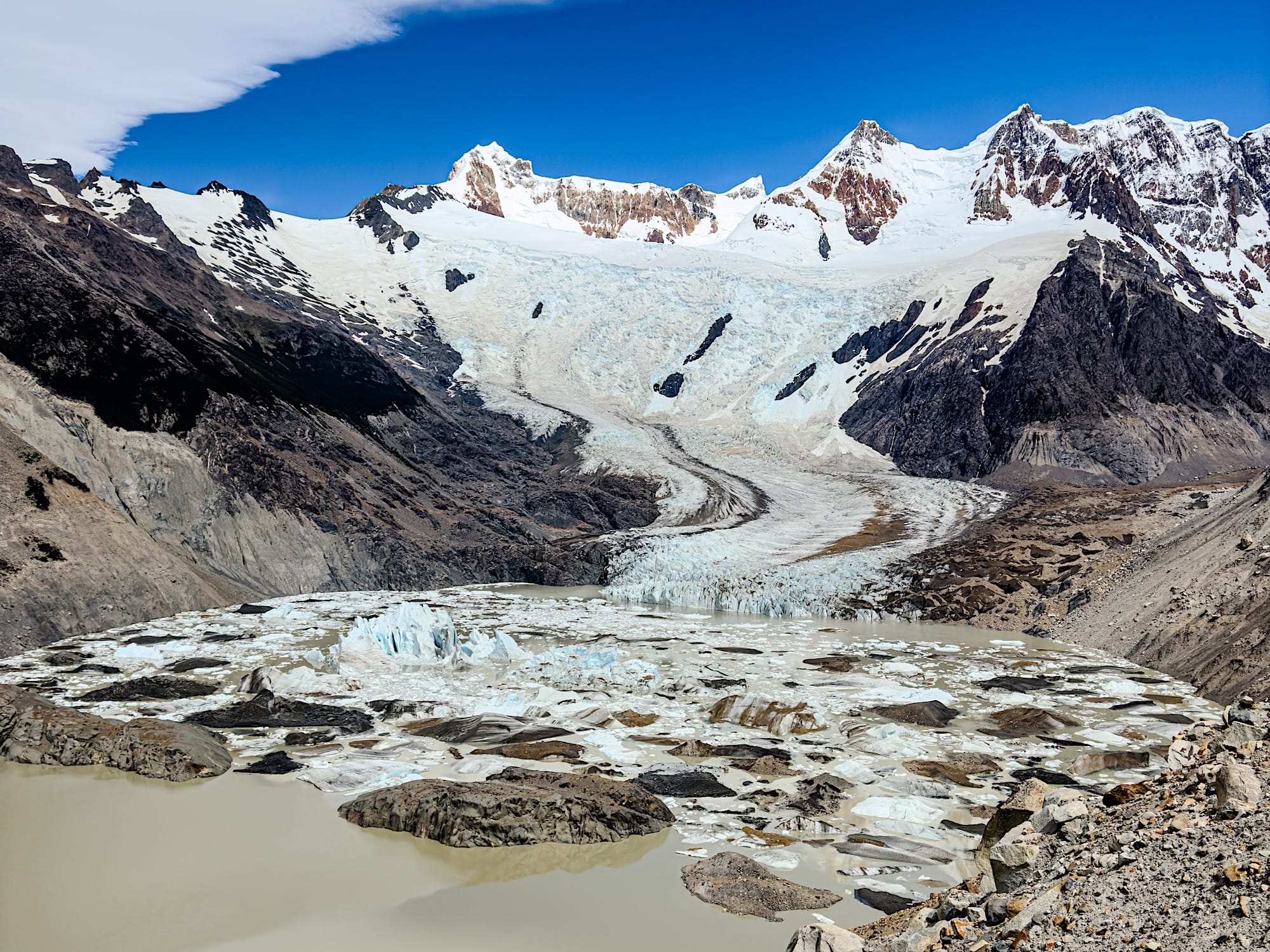
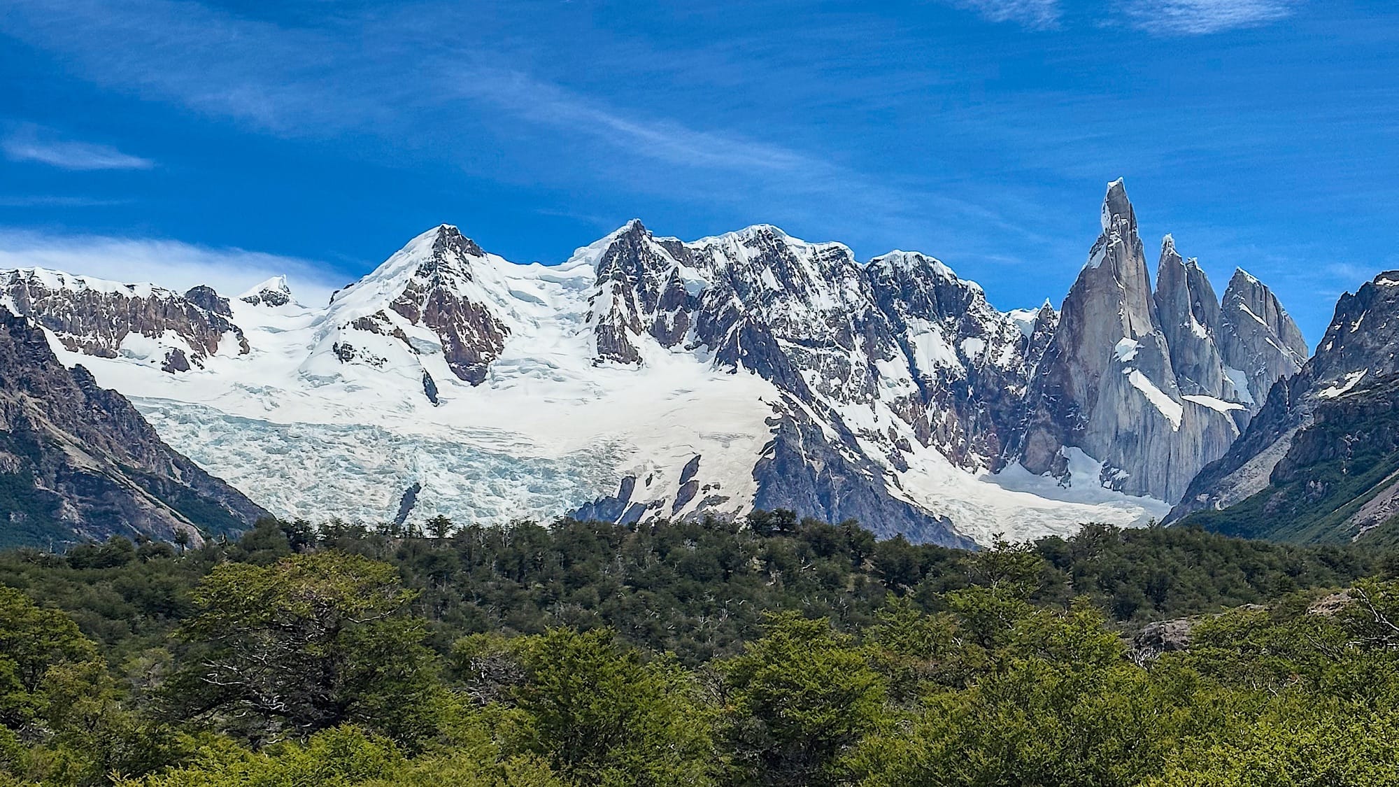
You will find the second lookout, Mirador Cerro Torre, 1.5 miles (2.5 km) into the hike. You can enjoy a great view of the needles and the neighboring glacier. If you don't want to go further, you can turn around here and head back to town.
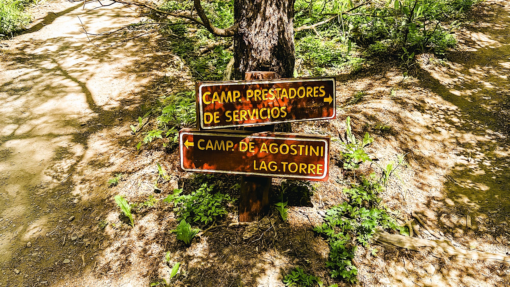
Between kilometers 6 and 7, you will see a sign with two options: "Camp. de Agostini, Laguna Torre" and "Camp. prestadores de servicios". If you want a slightly easier, flatter route, take the left toward "Camp. de Agostini, Laguna Torre." This way will take you along the river to the lower part of the lake. If you take the right, the road will be steeper and lead you to the top of the lake.
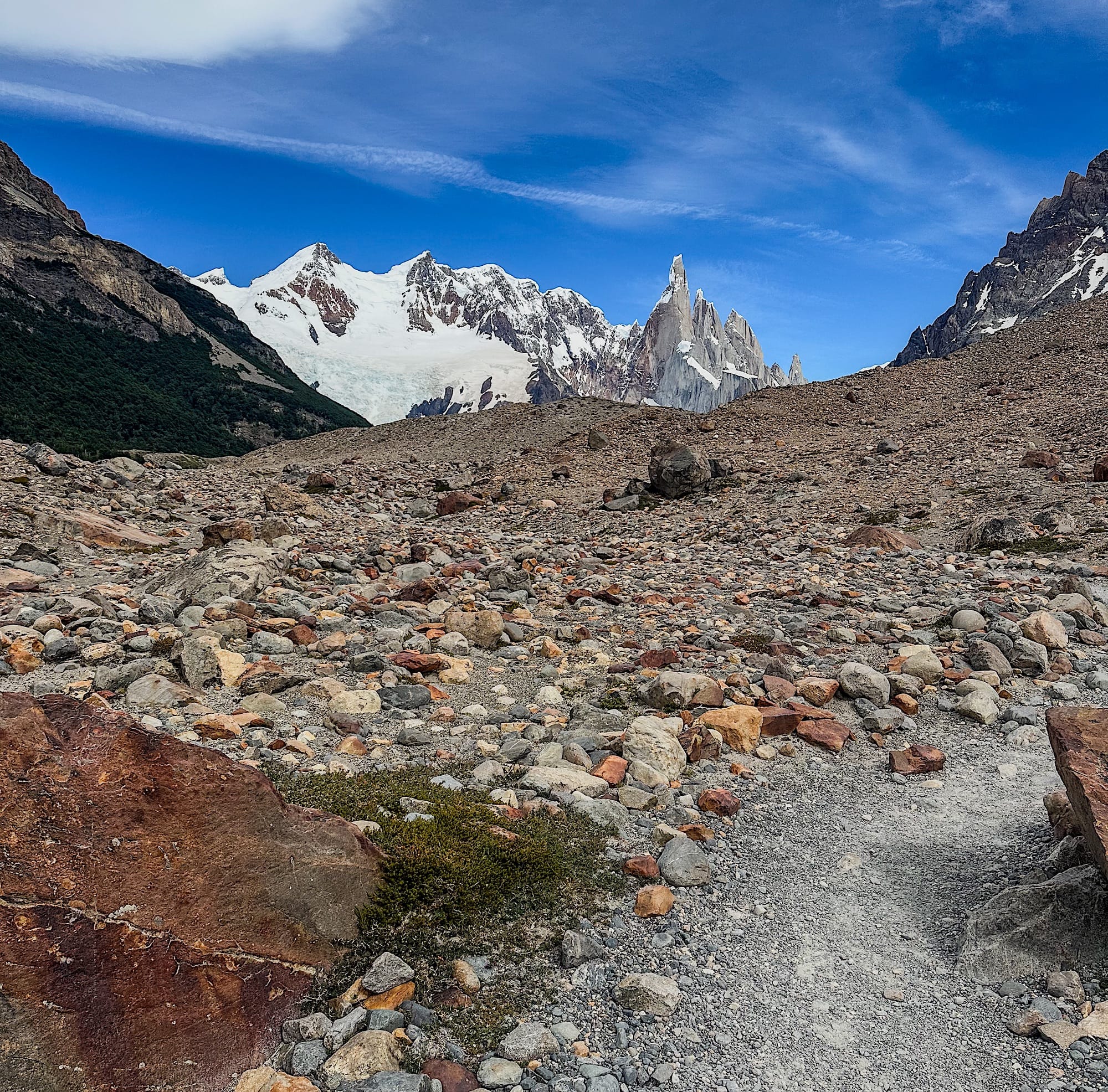
Before kilometer 8, you will find a rock valley. Some people report that there's a path to follow, but I personally didn't see it and got lost. Luckily, I found my way by using the map I had previously downloaded.
Once you reach kilometer 8, you will have to walk uphill through a series of switchbacks to reach Laguna Torre. The altitude can be tiring, but even this part is easier than the Laguna de los Tres (Fitz Roy) hike.
2 Laguna Torre to Mirador Maestri
After taking a well-deserved break, you can go up to the ridge on the right-hand side of the mountain. Follow it for 1.2 mi (2 km) to Maestri Lookout, where you can enjoy an even better view of the glacier.