
 Paloma

Table of contents
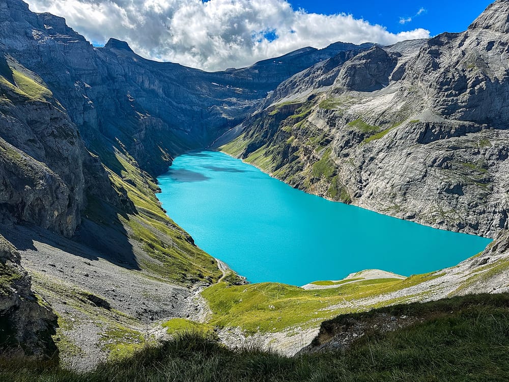
The Limmernsee hike has the most unique start I've ever done. Yes! Because on this hike, you go through a service tunnel before you can step onto the gravel.
But soon after the quirky start, you will find yourself hypnotized by the green grass and the blue lake behind you as you make your way to the viewpoint (keep your eyes on the trail, please!).
This hike has it all: steep slopes, shady passages where you'll hold onto a chain, and dramatic views you must earn before you can enjoy them.
In this article, you will find everything you need to know about what to expect when hiking to the Limmernsee, from where to park to the cost and operating hours of the cable car.
The hike at a glance
Hard (T3 with some chain passages)- Distance
- 12 km round trip (6km tunnel + 6km on gravel), out-and-back
- Time needed
- 2 to 2:30 hours one way
- Elevation gain
- 600 meters up & down
- Starting point
- Cable car station and parking here
- Cost
- Cable car return 20 CHF
- Crowds
- Low
- Sun exposure
- High
Trail overview
Hiking Map
Note that the hike is 12km round trip, split into 2 parts: about 3 km each way through the tunnel + about 3 km each way on the trail
Difficulty
I will admit I was scared before doing this hike, especially after reading about the more difficult passages. It was honestly easier than I thought, since we did it in dry conditions. However, I wouldn't dare try it in the rain.
That said, it is definitely not an easy hike, and proper footwear isn't optional. The trail IS exposed, and I would argue the way down was harder.
On the way up, the first section is challenging right away, but nothing crazy if you take it slow. Going down, there was one tiny steep part where I struggled because of the loose gravel, and a fall could have been fatal... so definitely take poles with you if you can.
Alternative way
You can also do this hike as a loop instead of an out-and-back trail.
There are 2 options to do this: you can take the door to the left after getting off of the cable car (you dont go through the tunnel in that case), then follow the signs to reach the viewpoint, and finally go back down the way described below in this article, or up through the tunnel and down the other side of the mountain.
Beware that the alternative route is more exposed than the out-and-back hike detailed in this guide. However, the Glarnerland tourism office states that the path has been expanded and widened, and exposed sections are sufficiently equipped with chains.
How to get to the Limmernsee
By car
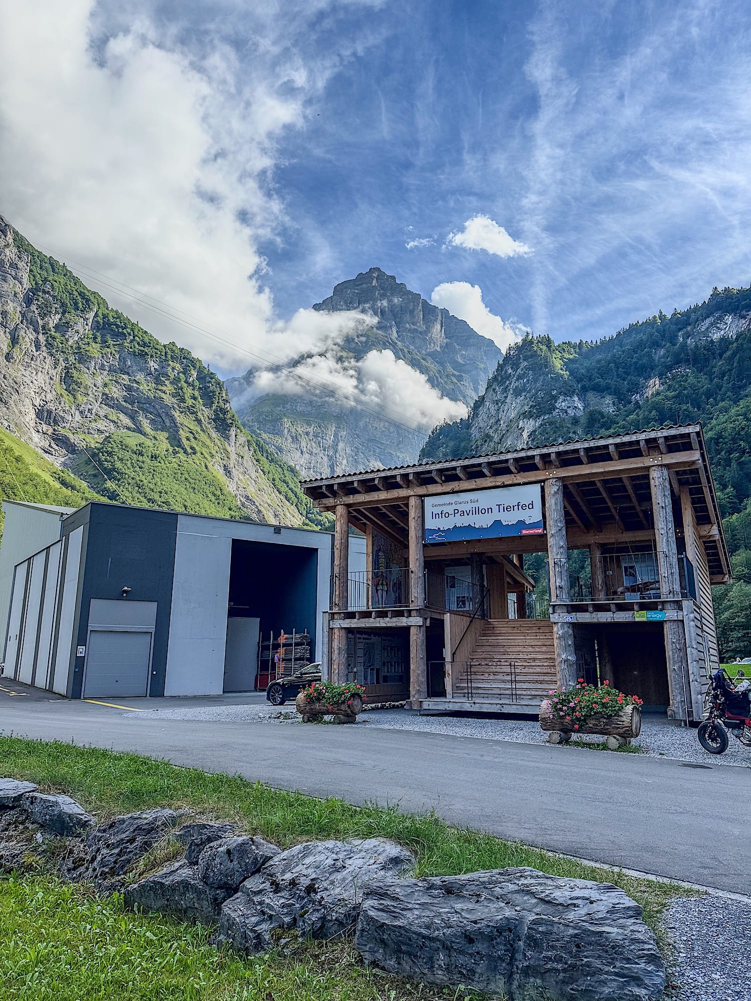
Drive to the cable car valley station, Luftseilbahn Tierfed parking lot here. Parking is limited, so arrive early. There are also 2 electric car charging slots.
The drive up to the cable car station is about 1h25 coming from Zurich and 1h45 coming from Luzern.
By public transportation
The closest train station to the cable car is Linthal. However, no buses currently run between Linthal and the cable car station, so you have two options: walk 5.9 km (about 1h20min one way) or take a taxi from the train station to the cable car station.
Where to stay
Braunwald
Linthal is the closest city and train station to the cable car; however, sleeping options are limited. If you don't mind that, stay there, but I recommend staying in Braunwald instead. Braunwald is a short 10-minute drive away from the cable car station.
Here are some hotels in Braunwald: Panoramahotel Braunwald, Hotel Tödiblick, and Revier Schwettiberg Nr. 1.
Linthal valley
For the closest stay to the cable car station in the valley, choose Hotel Todi.
On the mountain at Muttsee Hut
If you prefer to watch the sunrise and sunset on the mountain, stay at the Muttsee Hut at the top. Booking beforehand is mandatory for overnight stays.
Practical planning
Operating hours
The cable car Tierfed-Kalktrittli runs from around mid-June to around mid-October. Service is interrupted during bad weather.
During these months, the cable car runs Monday through Friday from 7:00 am to 12:00 pm and from 1:00 pm to 6:00 pm. Note that the cable car stops its service at midday for 1 hour during the week, so plan your hike accordingly.
On Saturdays and Sundays, it runs nonstop from 7:00 am to 6:00 pm.
Cost
In 2026, an adult return ticket for the cable car is 20 CHF, and a one-way trip is 12 CHF. Children pay 10 CHF for a return ticket and 6 CHF for a one-way ticket. Dogs can ride the cable car for free.
You can buy the tickets directly at the cable car station. Cash and cards are accepted. All ticket sales are final, even if bad weather forces the cable car service to stop.
The trail in pictures
1. Riding the gondola
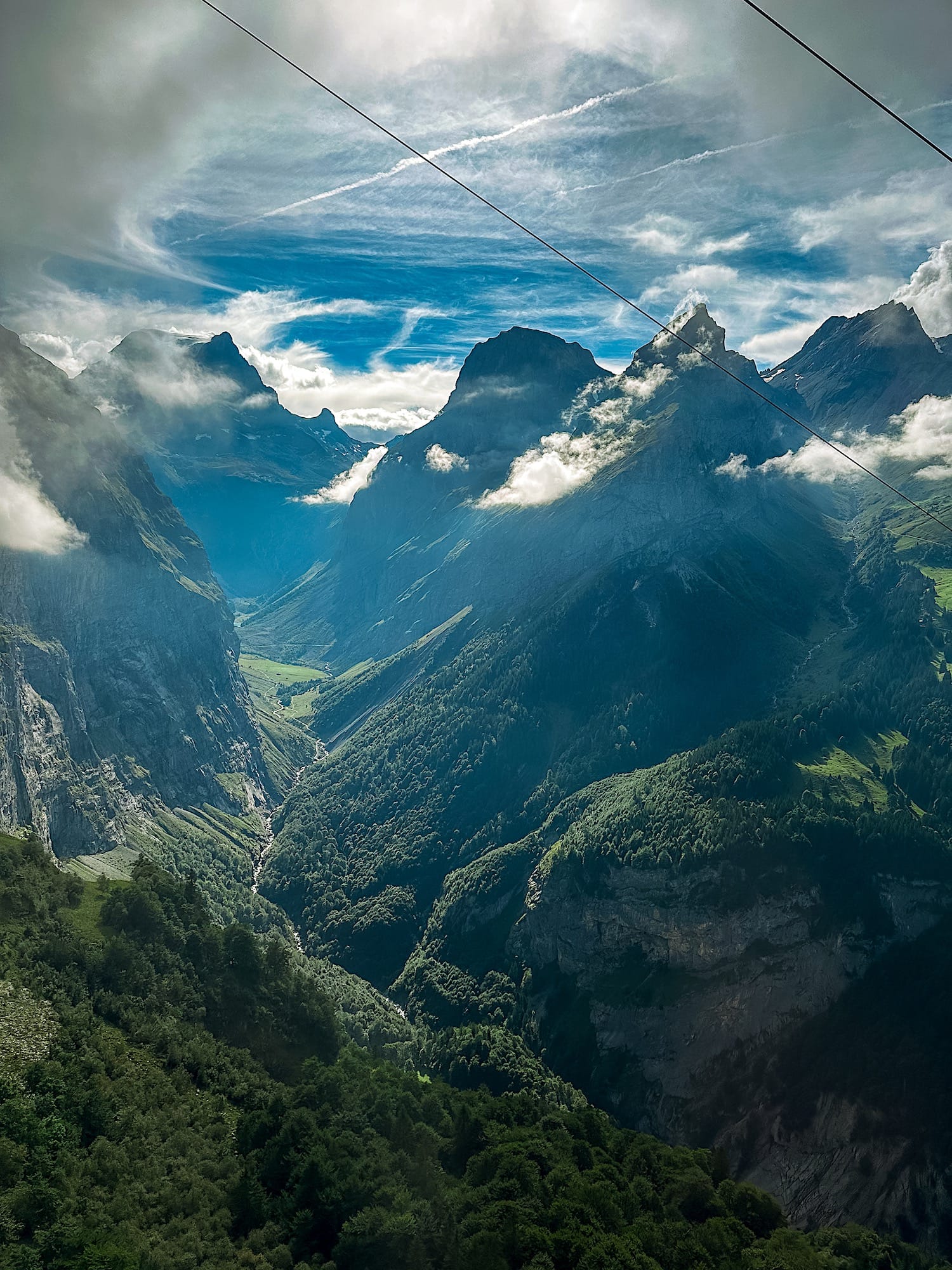
Honestly, this is one of the most beautiful gondola rides I've ever taken. Tall, dramatic mountains are visible on both sides.
2. Through the tunnel
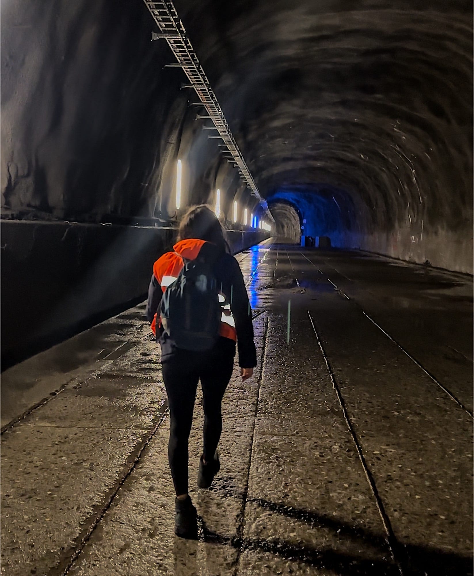
Once you've reached your destination by cable car, put on an orange safety vest and head straight ahead into the tunnel (do not take the door on the left, as it leads to the alternative way I mentioned earlier). Wearing a safety vest is highly recommended, as vehicles circulate through that same tunnel, so the vest maximizes visibility.
The walk through the tunnel lasts about 30 minutes. It does get cold inside the tunnel, even in summer, so dont forget to bring your jacket!
3. Uphill
Once you've returned your safety vest at the end of the tunnel, follow the dam wall to find the start of the trail.
Expect the trail to be steep and uphill right from the start.
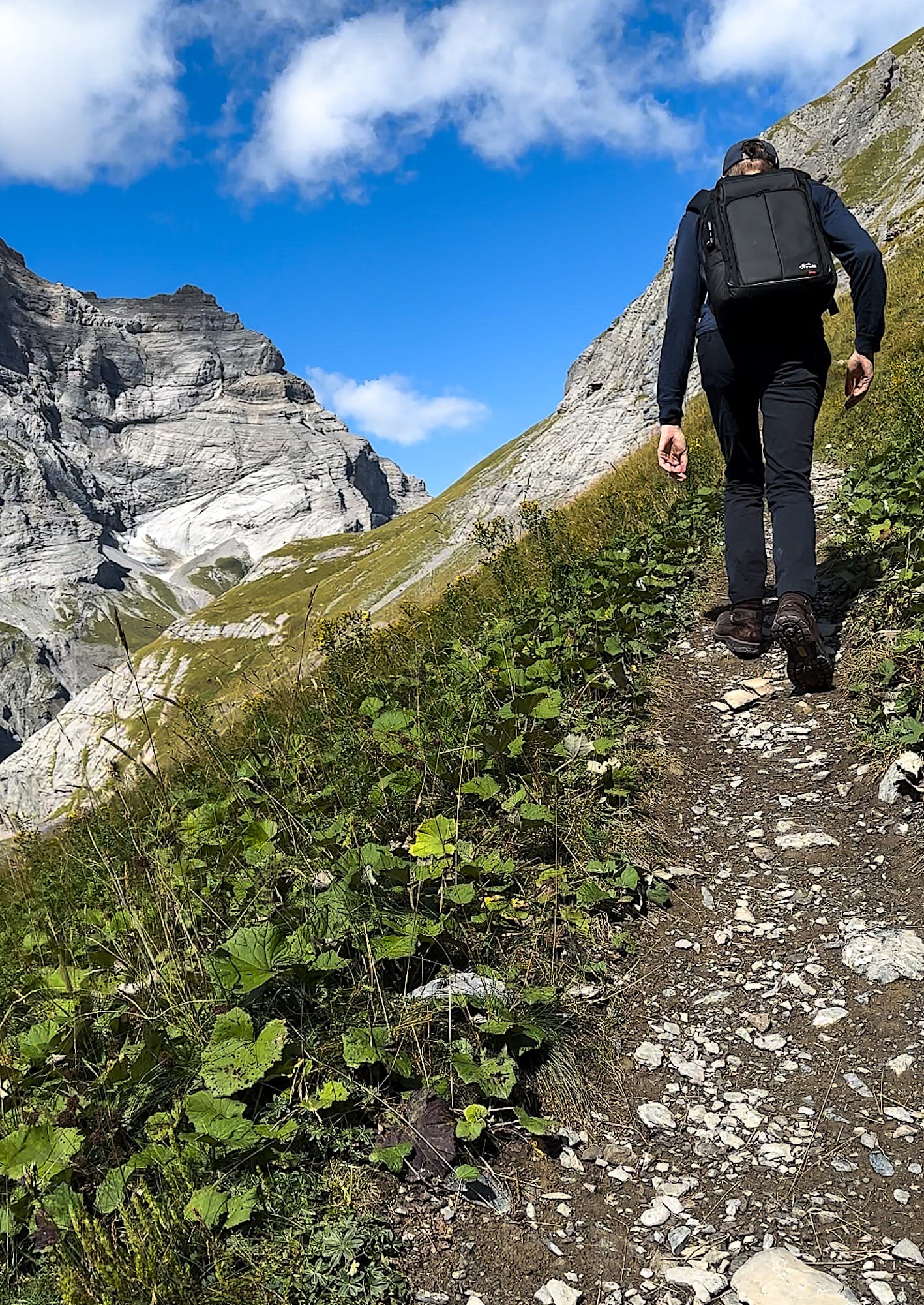
After a while, you will find two challenging sections of the trail with chains you can hold onto. In my opinion, going slowly there is key, and both sections look scarier and harder than they actually are.
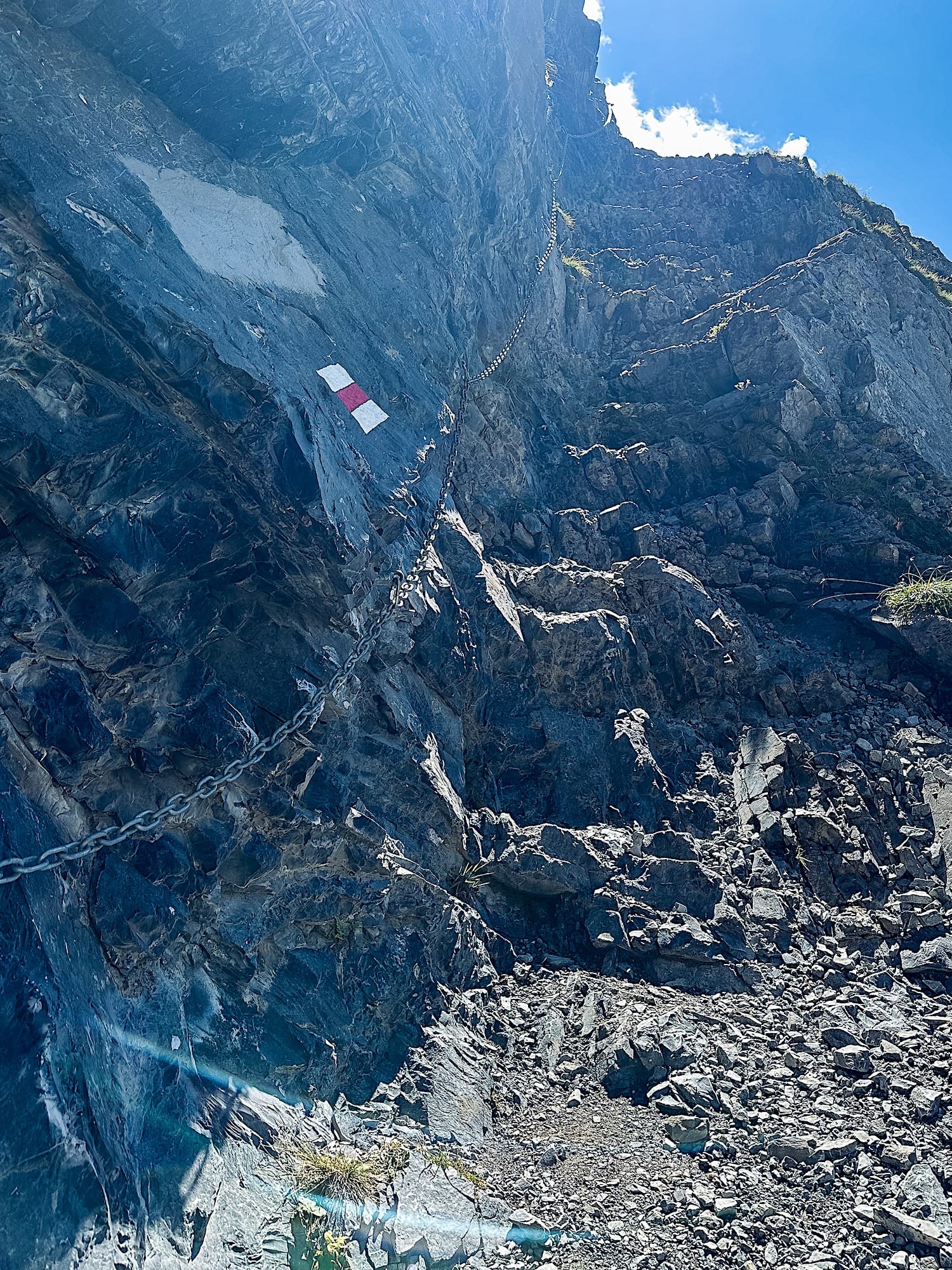
The first half of the trail is the most exposed one, but the second half is quite pleasant as you walk through green, flowery meadows.
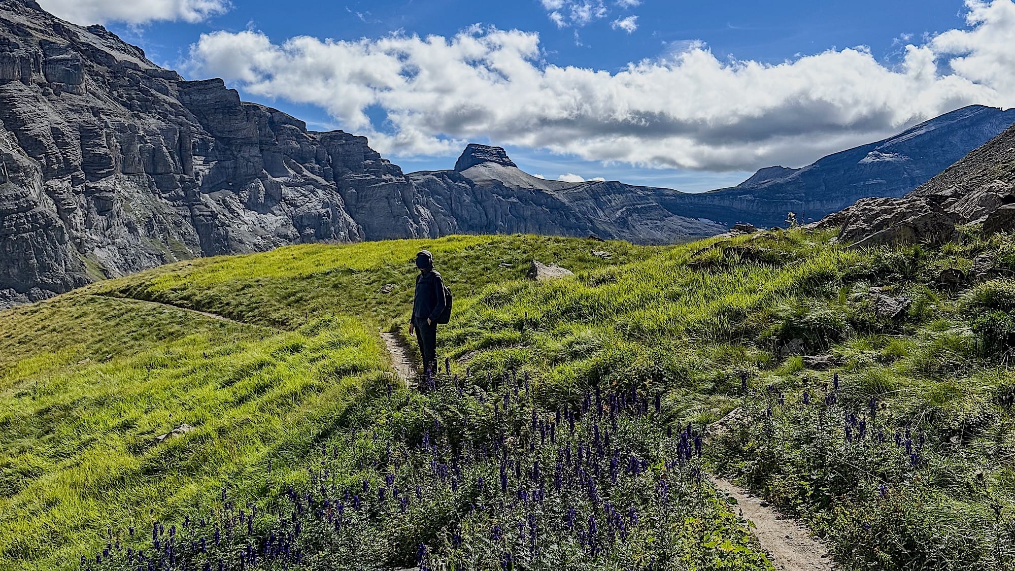
4. Muttseehütte
At the top of the mountain, the trail splits into two.
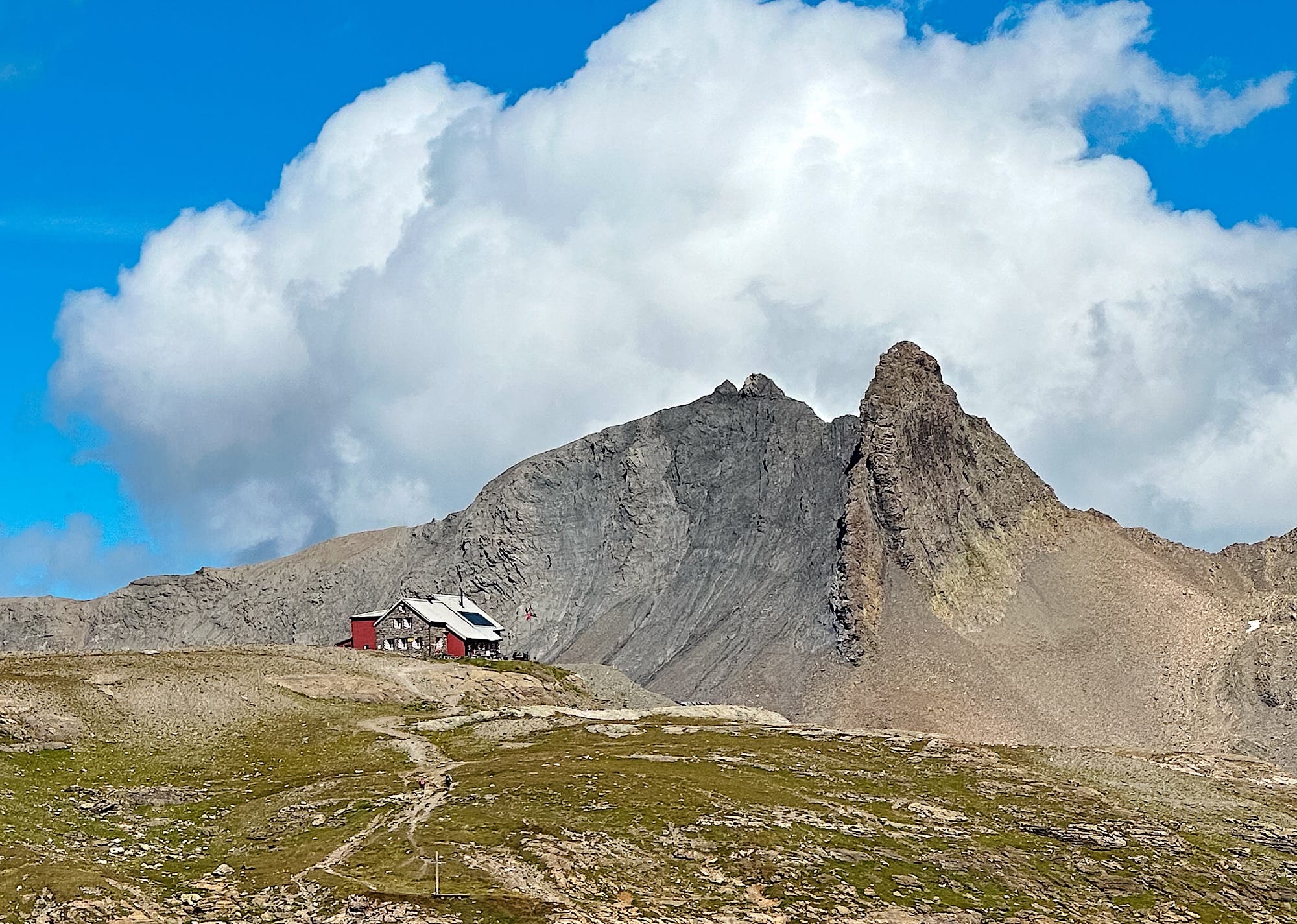
Go left to reach the famous viewpoint quickly, or take the right path to the mountain hut, Muttseehütte (optional).
At the Muttseehütte, you can rest, enjoy a drink and a meal, and even spend the night if you want, but you must book in advance to stay overnight.
You can use the hut toilet for free if you buy something to eat and/or drink, or pay 5 CHF to use it without buying anything.
5. Viewpoint
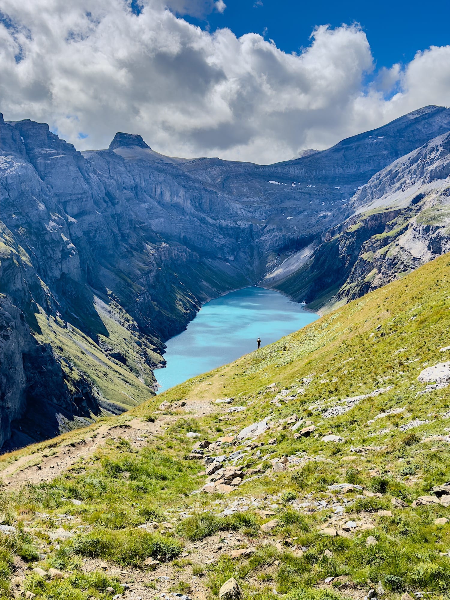
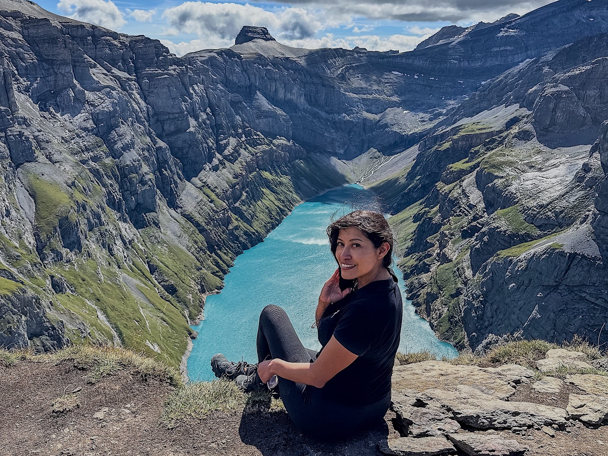
If you made it to the Muttseehütte, you will have to backtrack to where the paths split. Continue straight instead of retracing your steps to reach the famous viewpoint over the Limmernsee.
The trail to the viewpoint is less well maintained than the earlier sections, so be careful.
6. Go back
After you've enjoyed the view, head back down the mountain the same way you came up, then go through the tunnel to catch the cable car down to the valley.
Limmernsee hike FAQ
1. Is it Limmernsee or Limmerensee?
Both spellings refer to the same lake. Swiss maps and the power plant operator write "Limmernsee", while many blogs and Google searches use "Limmerensee". If you're searching for trail info, try both.
2. Where is the Limmernsee?
The Limmernsee is a reservoir in the canton of Glarus, in eastern Switzerland. The hike starts from Tierfehd, a small hamlet above the village of Linthal, at the valley station of the Tierfehd–Kalktrittli cable car.
3. How high is the Limmernsee?
The lake sits at about 1,857 m. The Muttseehütte, the hut further up the trail, is at about 2,500 m, so you keep climbing well above the water after the tunnel.
4. Can I do the Limmernsee hike without a car or without the cable car?
Yes to both, but I wouldn't recommend it. Without a car, take the train to Linthal and walk about 1h20 to 1h30 to the Tierfehd cable car station (no bus runs on that stretch).
Without the cable car, the official route from Linthal to the Muttseehütte is rated T3 and takes roughly 6 to 7 hours one way, so most people take the cable car and save their energy for the climb.
5. How long does the Limmernsee hike take?
From the cable car's top station through the tunnel to the Muttseehütte, count about 2.5 hours one way (around 5.7 km and 630 m of climbing). With the viewpoint, a break, and the descent, plan on 5 to 6 hours, plus the 7-minute cable car ride each way.
6. What's the difference between the Limmernsee and the Muttsee?
They're two separate reservoirs of the same power plant. The Limmernsee is the lower one you look down on from the viewpoint. The Muttsee sits higher up, near the Muttseehütte, and the power plant pumps water from the Limmernsee up to the Muttsee.
7. How much does the Muttseehütte cost, and when is it open?
The Muttseehütte is an SAC hut. Prices are per person and include the tourist tax. For a non-member adult, a night with half board and breakfast costs CHF 97 (SAC members pay CHF 79). Children aged 6 to 14 pay CHF 58 as non-members or CHF 49 as SAC members. A two-person room costs an extra CHF 50 per party, a hut sleeping bag rents for CHF 15, and they accept cash, TWINT, debit, or credit card.
Reserve online through the hut's website. You can cancel for free up to 48 hours before, until 6 pm. After that, your card will be charged CHF 94. In 2026, the hut closes around 16 October. Double-check prices before you book.
8. How do I check the weather and trail conditions before the hike?
The Muttseehütte's website posts trail conditions during the season, such as snow or ice on the upper sections, and the hut team will tell you more by phone (+41 55 643 32 12) if you're unsure. The cable car stops in bad weather, and tickets are non-refundable, so check the forecast the evening before.