 Paloma
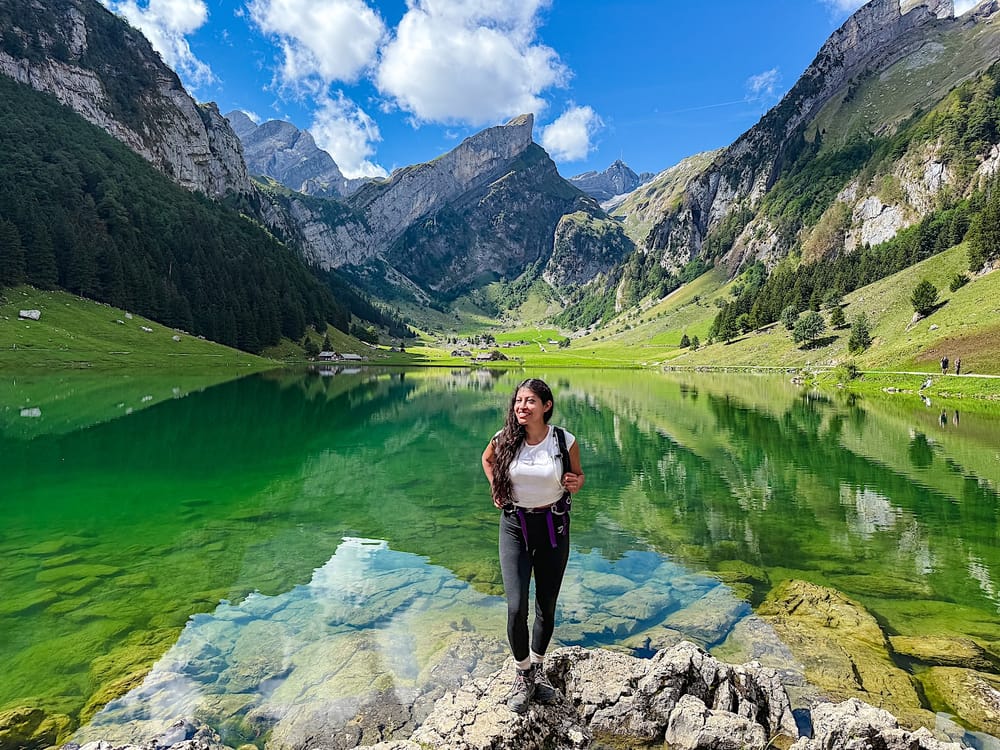
Table of contents
Seealpsee, tucked into the Alpstein massif in Appenzell, is one of eastern Switzerland's most photographed lakes, and for good reason! The lake's reflection and deep emerald-green color will make your jaw drop.
This lake is more approachable than other Swiss alpine lakes: the trail is steep in sections, but it's paved almost the whole way, so you're dealing with tired legs, not technical terrain.
This guide covers everything you need to plan your Seealpsee hike: how to get there, where to park, the full route with a trail map, and what to expect at each stage of the hike.
The hike at a glance
Medium- Distance
- 4.8 miles (7.7km), out-and-back
- Time needed
- 3 hours total
- Elevation gain
- 1210 ft (369 meters) up & down
- Starting point + Parking
- Parkplatz Wasserauen
- Cost
- Free, since there's no cable car
- Crowds
- Medium to High
- Sun exposure
- Low in the morning, high in the afternoon
Trail overview
Area Map
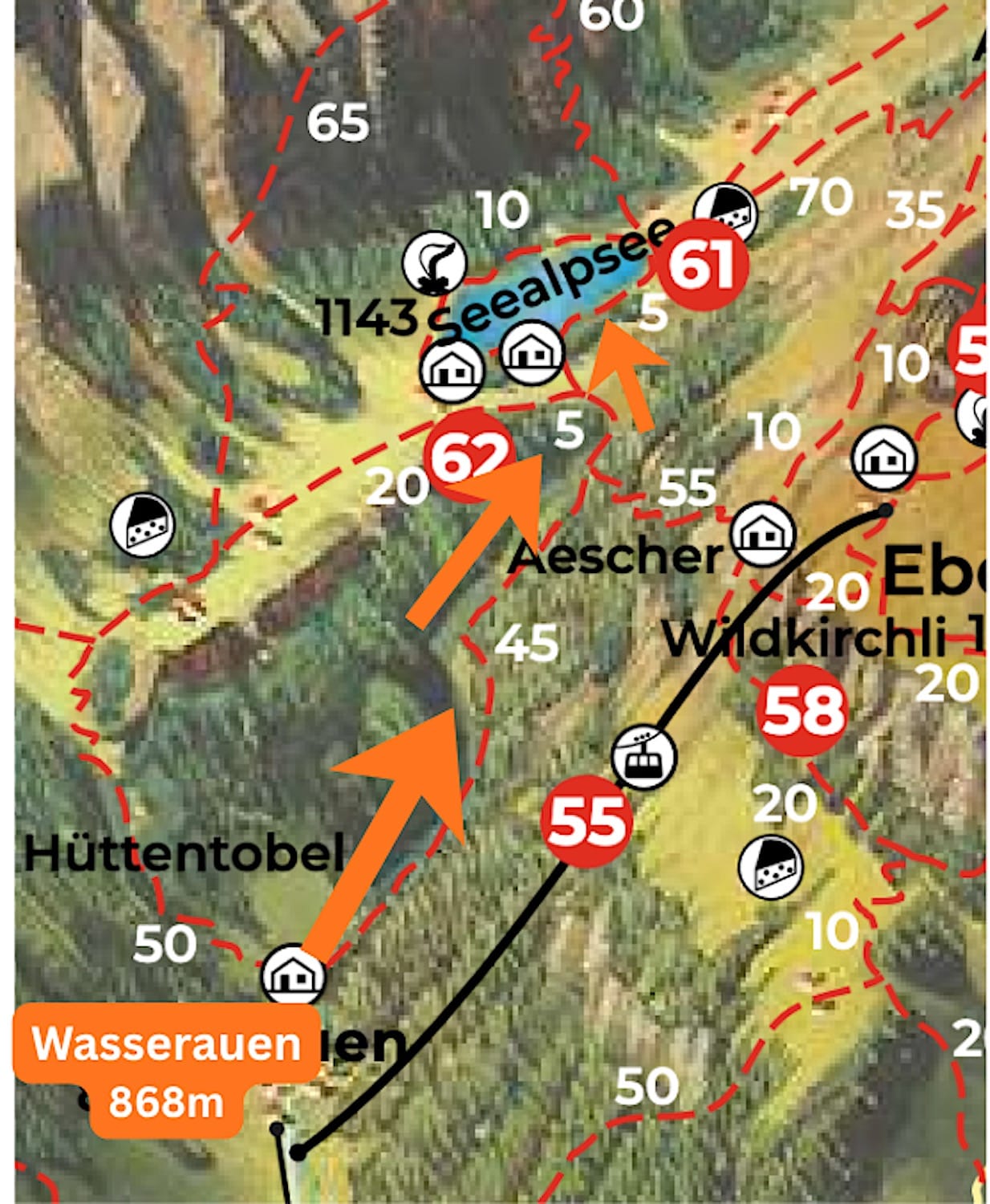
Hiking Map
Difficulty
Although this route uses only the service path, it is still a medium-difficulty hike because of its steepness.
It is still easier than a classic trail with this elevation gain because most of the way is paved. If you're bringing poles, don't forget their rubber caps.
Variations
Option 1: You can hike a loop instead of a simple out-and-back hike through the forest and back along the service path I describe in this guide. However, that's a harder hike because the forest section has slippery gravel and steps.
You can find this variation's route on AllTrails. In that case, go left at step 2 of this guide's "trail in pictures"; that way, you will tackle the slippery gravel uphill.
Option 2: People often visit Seealpsee as part of a harder, longer hike that includes the Schaefler ridge. However, this is a much more challenging route, and you need hiking experience and sure-footedness.
Some people have had accidents on that route, so I recommend treating it as 2 separate hikes you can still do in a single day.
How to get to Seealpsee
By car & where to park
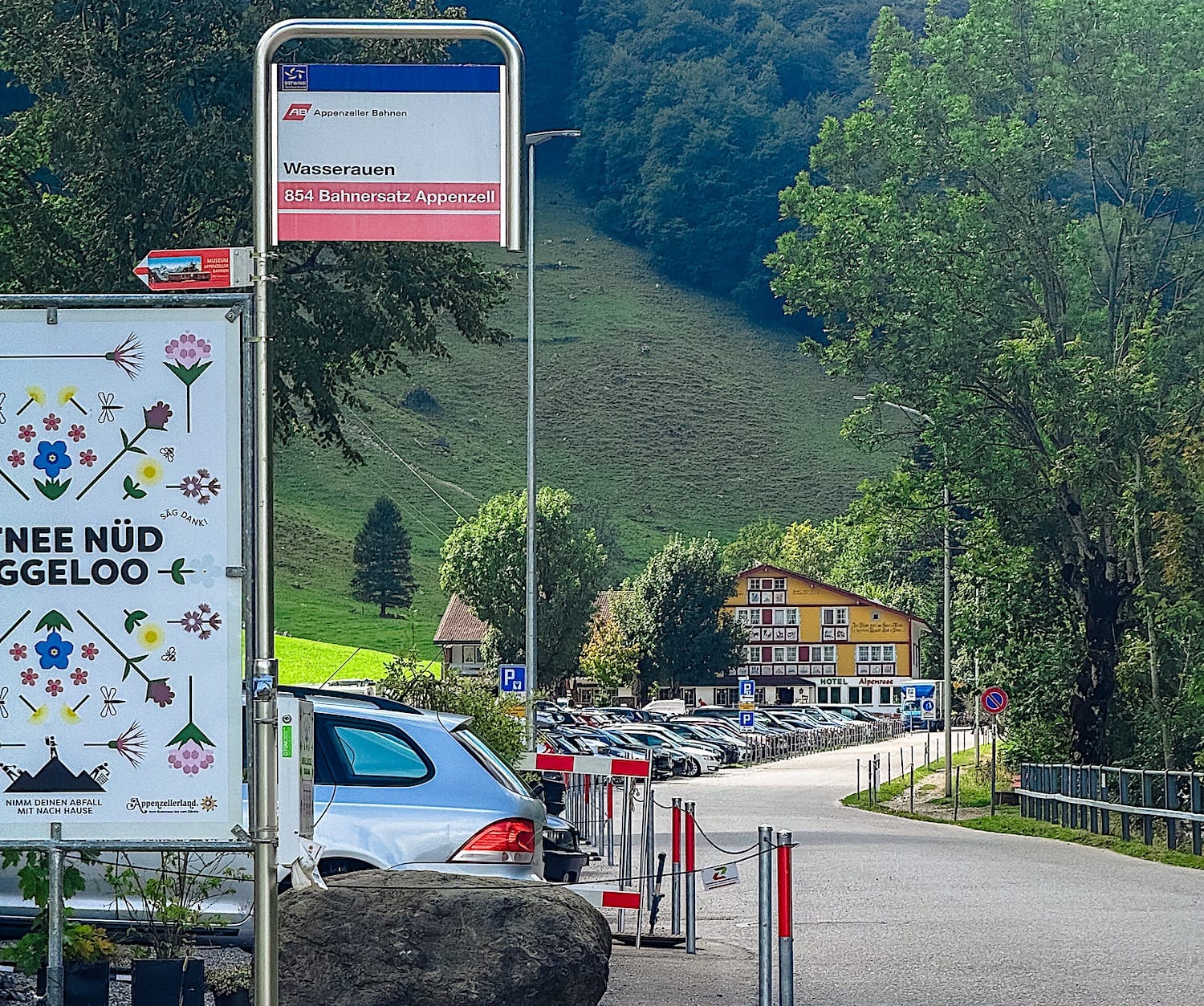
Drive to Wasserauen, about 1h15 away from Zurich. Park at one of these paid parking lots: Parkplatz Wasserauen (closer to the trail) or Parkplatz Bahnhof Wasserauen.
When I was there, credit card payment didn't go through, so I highly recommend downloading the Parkingpay app. EasyPark works too, but I found Parkingpay more convenient for foreigners, and you can add or remove parking time directly from your phone.
By public transportation
Take a train to the Wasserauen station.
Where to stay
Appenzell
This is the closest bigger city to the trail start. It only takes about 10 min to reach it from here by car or by train.
Traditional interior: HotelAppenzell
Modern interior: Traube Restaurant & Hotel
Wasserauen
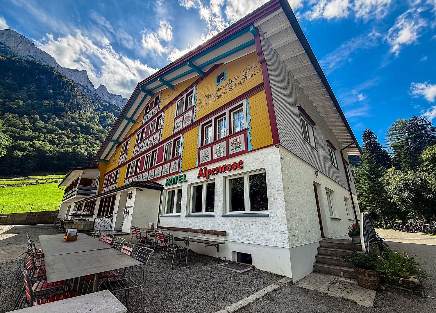
If you prefer to stay right next to the trail start, this is where you should sleep. Hotel Alpenrose is the perfect place to stay in that case.
Seealpsee Lake Shore
Alternatively, if you want to wake up right at the lake shore, the mountain huts Berghaus Seealpsee and Berghaus Forelle are exactly what you're looking for.
Practical planning
Operating hours & Cost
Since this hike doesn't require a cable car, you have total flexibility, and it's completely free.
Where to eat
Berggasthaus Seealpsee is a great place to grab a bite. It's a hotel-restaurant right on the lake, so you can enjoy the view while you eat, even if the trees partially block it.
If you'd rather eat at the start or at the end of your hike, Hotel Alpenrose is the better option, as it is located right at the start of the trail.
Best time of the day to visit
The best time of the day to visit Seealpsee depends on what you prioritize. Go early in the morning to avoid crowds and enjoy a peaceful atmosphere as you walk around the lake.
Or go in the afternoon to marvel at the lake in full sunlight. To fully appreciate the lake's colors, including its famous green-emerald hue, you need to see it in the sunlight.
The trail in pictures
1 Walk to the start of the trail
From the parking lot or the Wasserauen train station, walk toward Hotel Alpenrose, right next to the trail start.
2 Uphill to the lake
Keep walking past the Hotel Alpenrose, and you will soon find an intersection. Go to the right.
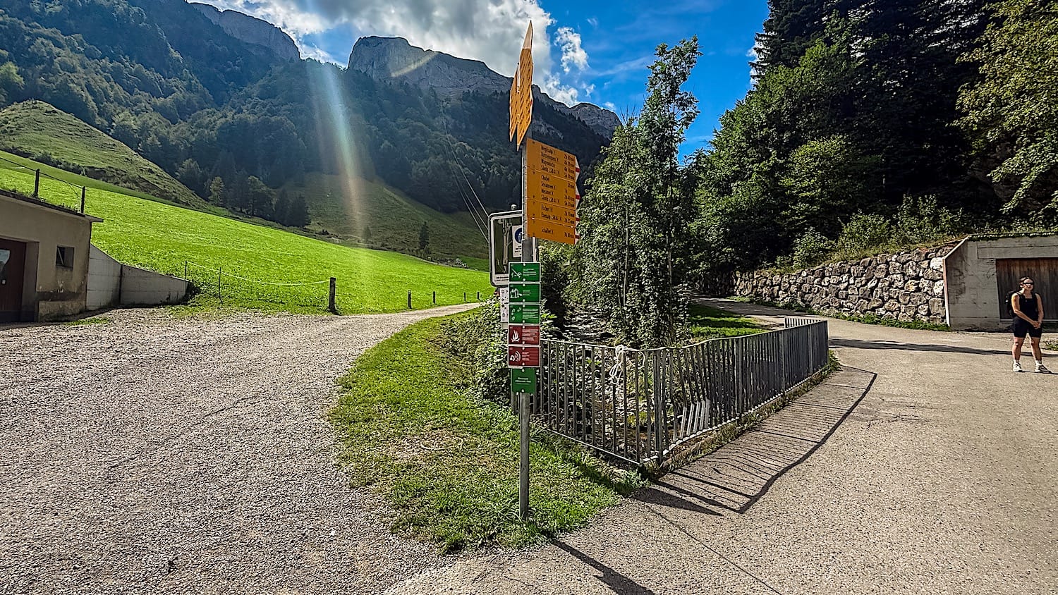
You'll walk through a valley for a couple of minutes before you hit the real challenge of the hike. The slope gets steep quickly, but luckily you get some flatter sections between the steep ones where you can recover a bit.
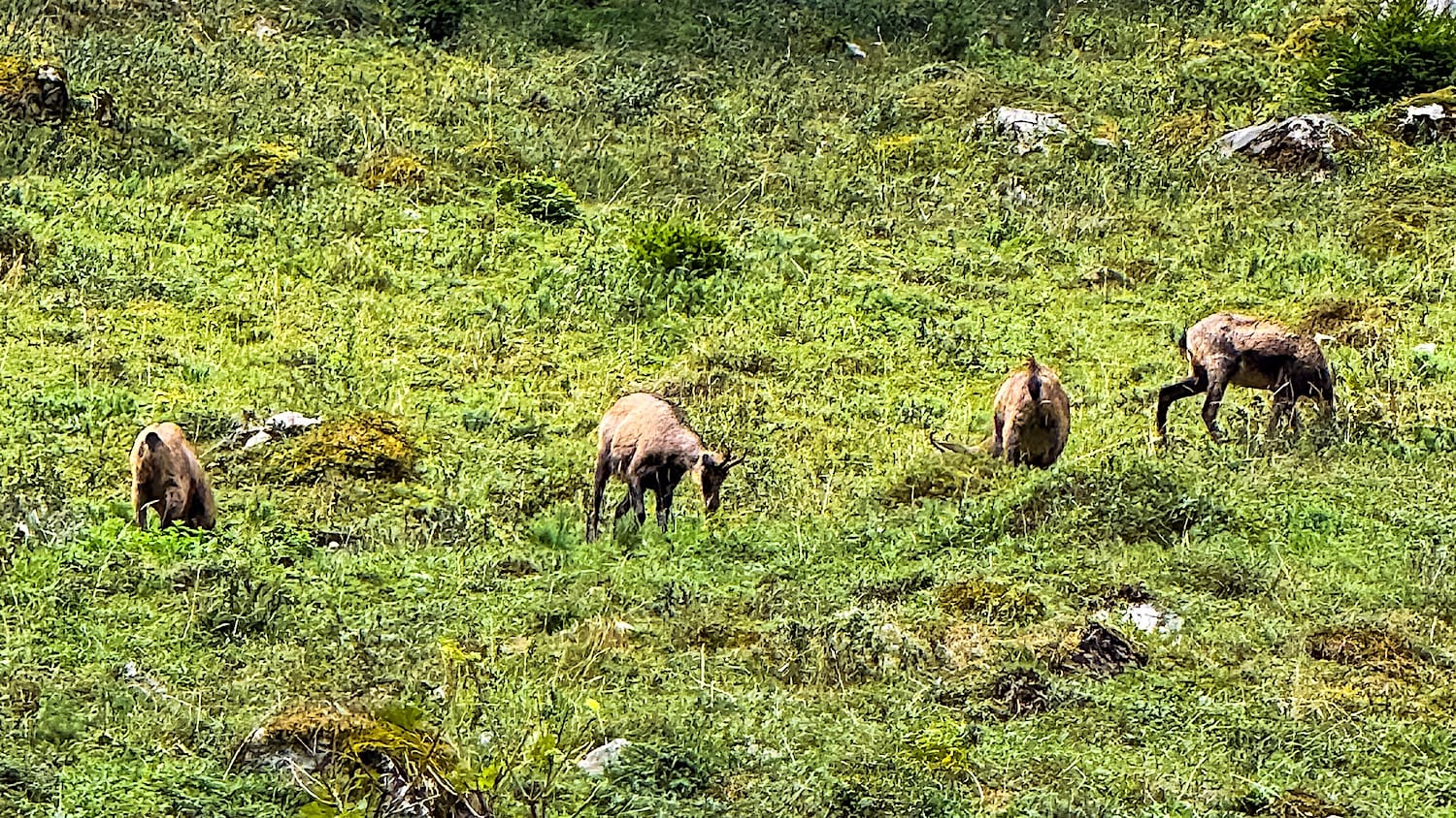
Keep your eyes wide open because if you're lucky, you might even see some ibex on the slopes along the way.
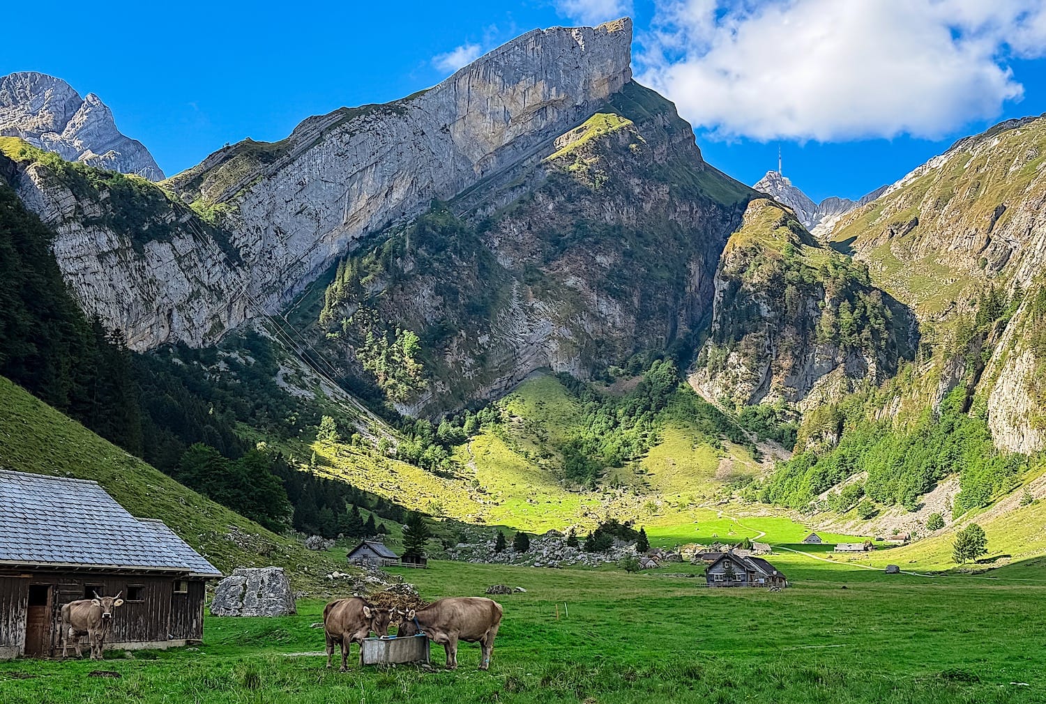
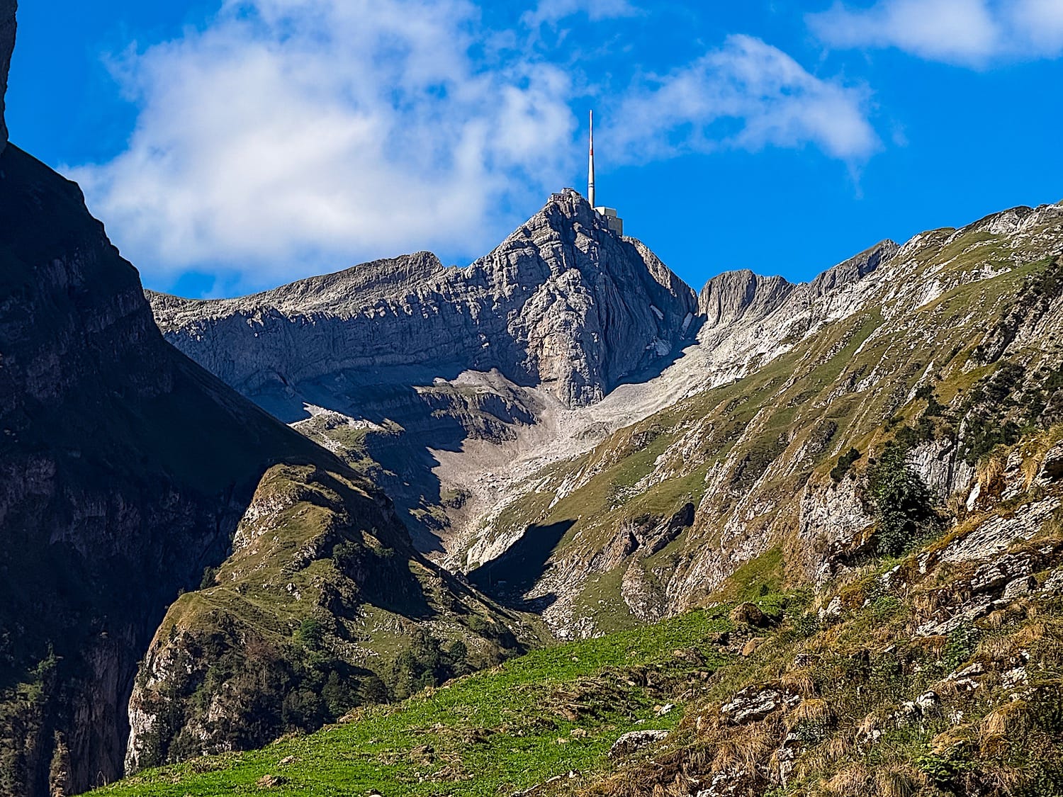
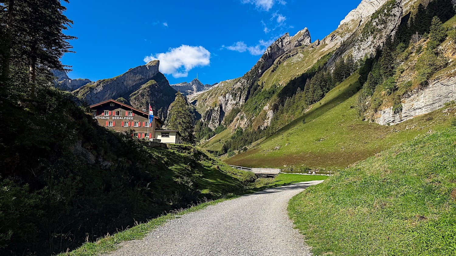
The steepest section, though, comes near the end of the trail, followed by a final flatter stretch. There, you can feel the mountains getting taller, and you can see huts in the valley.
3 Around Seealpsee Lake
Now that you've reached the lake shore, you can walk around it either way (clockwise or counterclockwise).
The route is pretty straightforward, and you should be able to see the lake from most of the loop trail, except for a small section next to the restaurant. If you lose sight of the lake for more than 5 minutes, you've followed the wrong path.
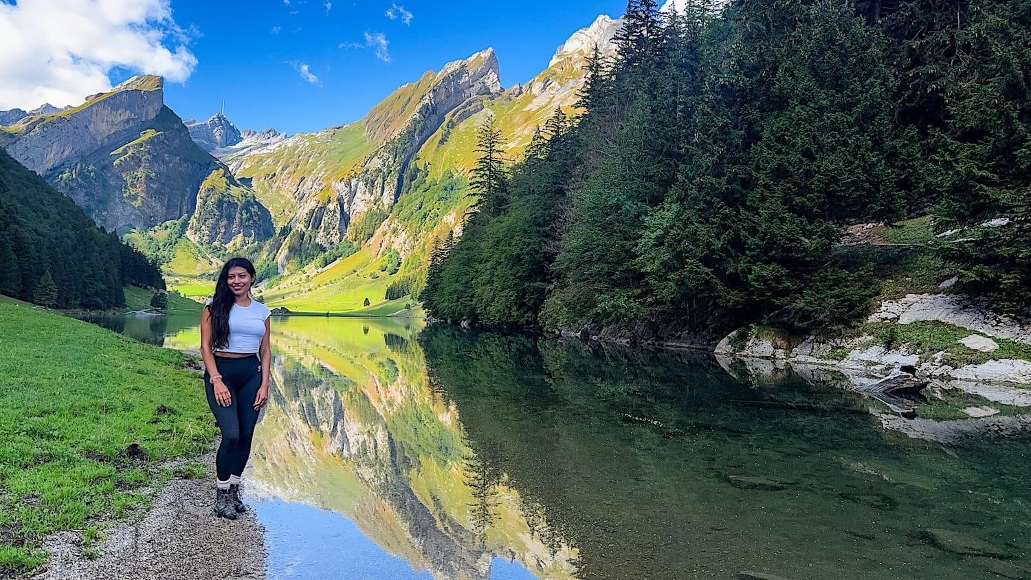
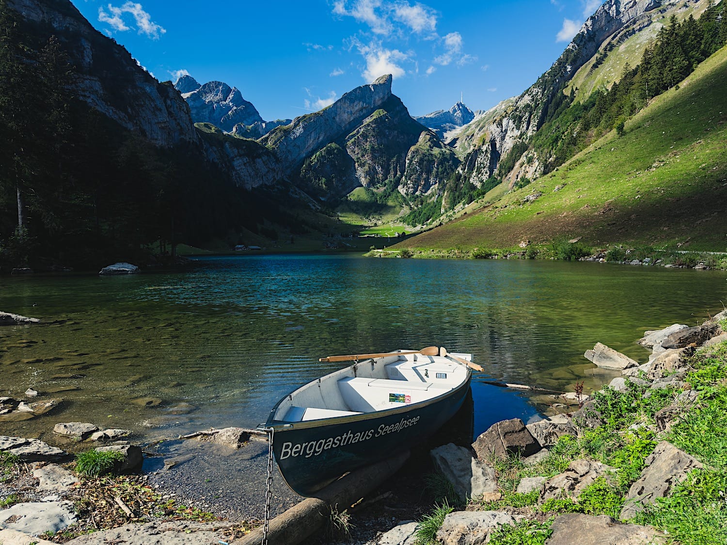
Don't forget to explore the land portion in front of the restaurant. You will have a centered, unobstructed view over the lake and its surrounding mountains (hero picture of this article).
4 Back to the parking lot
When you're done, go back the way you came.