
 Paloma

Table of contents
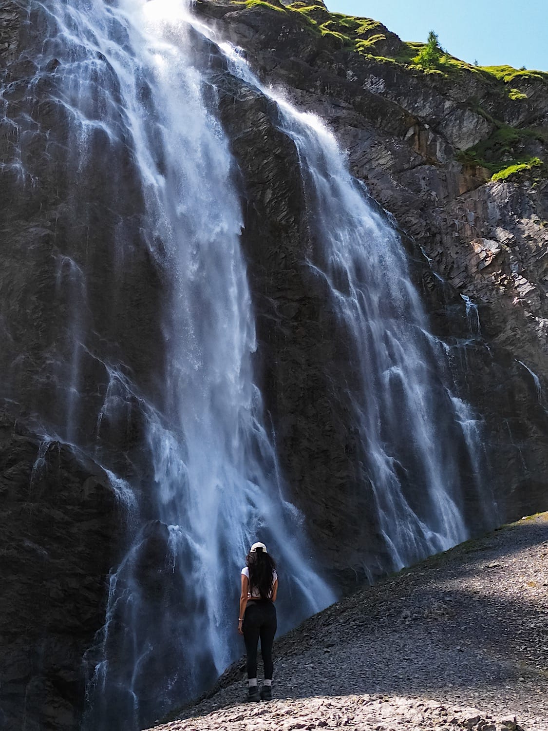
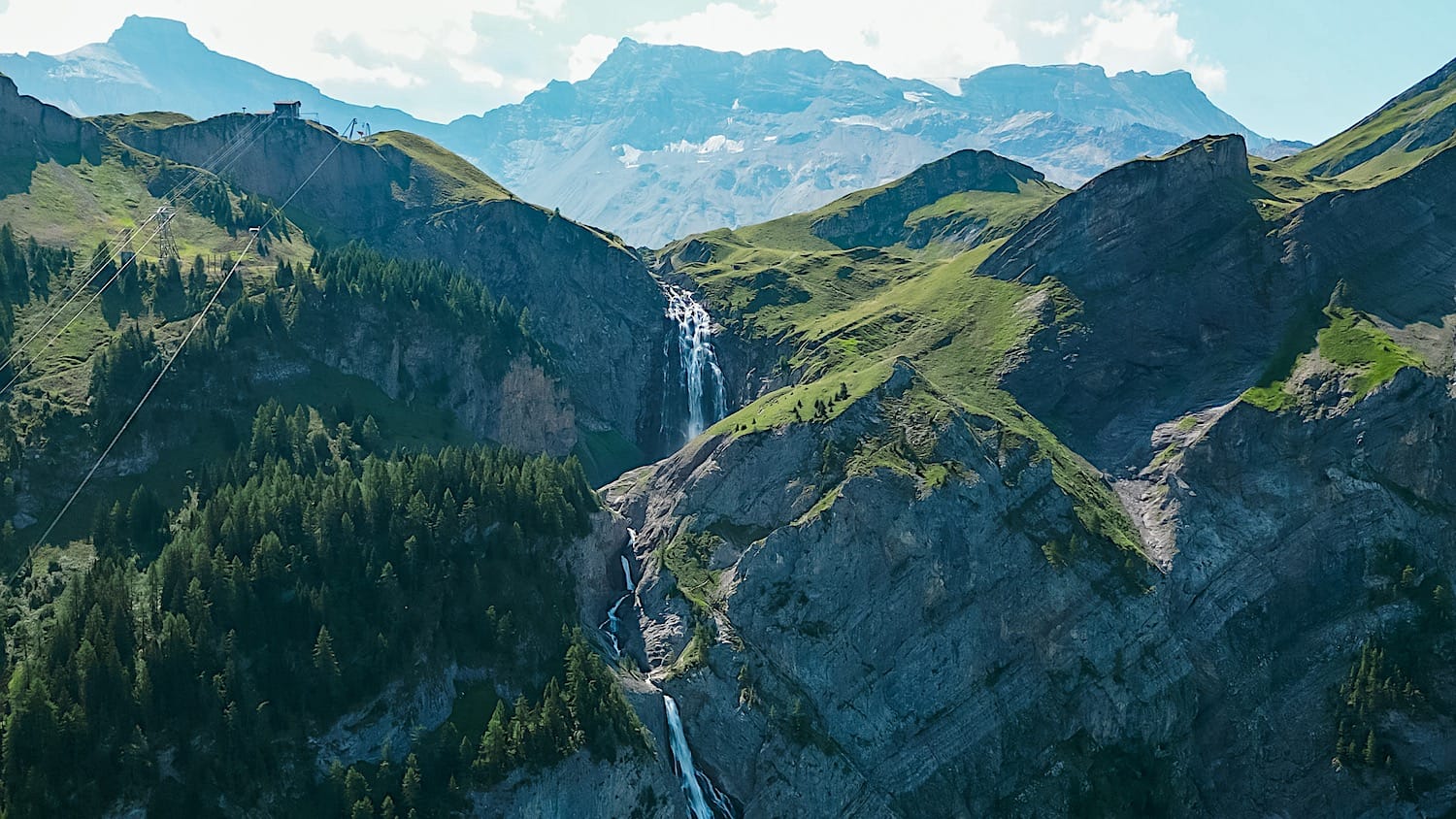
Switzerland has lots of waterfalls, but only one competes for second-tallest in the country, dropping nearly 600 meters in two big cascades, straight out of a hanging alpine valley. That's Engstligenfälle, and it's somehow still not as crowded as it deserves to be.
It's also one of the few waterfalls in Switzerland you can hike alongside for its entire height, so you can see it from different angles and even get close enough to feel the spray on your face.
In this guide, you'll find everything you need to decide which way to do it: the trail options, the cable car cost, and how to get there from Adelboden.
The hike at a glance
Moderate- Distance
- 2.1 miles (3.4 km), out-and-back
- Time needed
- 2 hours total
- Elevation gain
- 1804 ft (550 m) downhill
- Starting point
- Unter dem Birg cable car station
- Parking
- Parkplatz Engstligenfall
- Cost
- 28 CHF one-way, 39 return. Some discount cards are accepted
- Crowds
- Low to Medium
- Sun exposure
- Medium to High, depending on the time of the day
Trail overview
Area Map
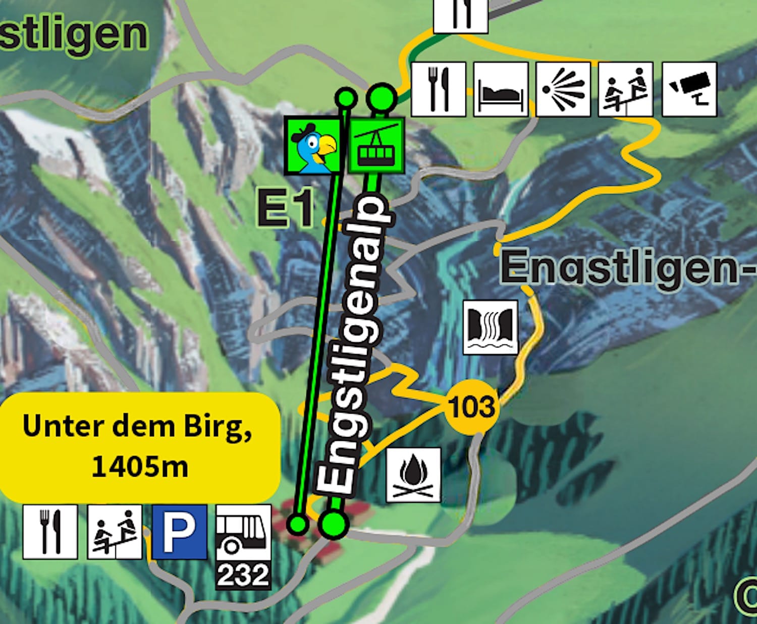
Hiking Map
Difficulty
The hike as detailed in this guide is exclusively downhill. Some parts are slippery because the waterfall wets the rocks, the rocks are too smooth, or both, so wear sturdy hiking boots. That's why I agree with the official rating of medium difficulty.
Variations
Option 1: Instead of hiking the mountain from top to bottom, you can hike a loop that starts and ends at the gondola mountain station. You would need a return ticket in this case, and instead of only going downhill, you will have to climb back up to the gondola station after the waterfalls.
I recommend this version if you want an easier-on-the-knees option. See the map here.
Option 2 (Harder): Skip the gondola altogether and hike up to the waterfalls and back.
How to get there
By car
Drive and park in the paid parking lot, Parkplatz Engstligenfall.
From Zurich, it takes about 2h30; from Bern, 1h10; and from Interlaken, roughly 1h.
By public transportation
Take a train to Frutigen, then hop on bus 230 to the Adelboden, Mineralquelle stop. From Adelboden, take bus 232 to the last stop, Unter dem Birg, which drops you right next to the gondola valley station.
Practical planning
Operating hours
In summer, the gondola from Unter dem Birg to Engstligenalp runs daily from 8:30 a.m. to 5:00 p.m. Double-check the current timetable here.
Cost & Discount Cards
A single ticket on the gondola costs 28 CHF, and a return ticket costs 39 CHF for adults, while children pay 14 CHF one-way and 20 CHF return. Children under 6 ride free.
The Adelboden–Engstligenalp cable car is free with the Berner Oberland Pass, with the 2026 season running from 13 June to 18 October. With a Half-Fare Card or GA (Swisspass), FVP, and Swiss Card, you get about 50% off single-journey tickets (14 CHF one way, 20 CHF return instead of 28/39). Additionally, a valid Guest card gives you a 25% discount.
You can buy your tickets directly at the gondola valley station, or online here. I highly recommend buying your tickets online, as queues may form at the ticket office.
Where to stay
Adelboden
This is the closest city to the waterfalls and offers plenty of accommodation options. Options include: KURVE Apartments & Lounge, Apart Hotel Adelboden am Dorfplatz, and Bellevue Parkhotel & Spa - Relais & Châteaux.
On the mountain
If you'd rather spend the night surrounded by the stunning nature on the plateau, stay at Berghotel Engstligenalp.
The trail in pictures
1 Gondola from Unter dem Birg to Engstligenalp
The gondola ride is already photoworthy, with waterfalls visible from above. Try to get a spot on the right side for the best views.
2 Down to the waterfalls
When you get off the gondola, a stunning alpine landscape welcomes you. If you're following the route described in this guide, take your time and take in the views, since you won't be coming back here.
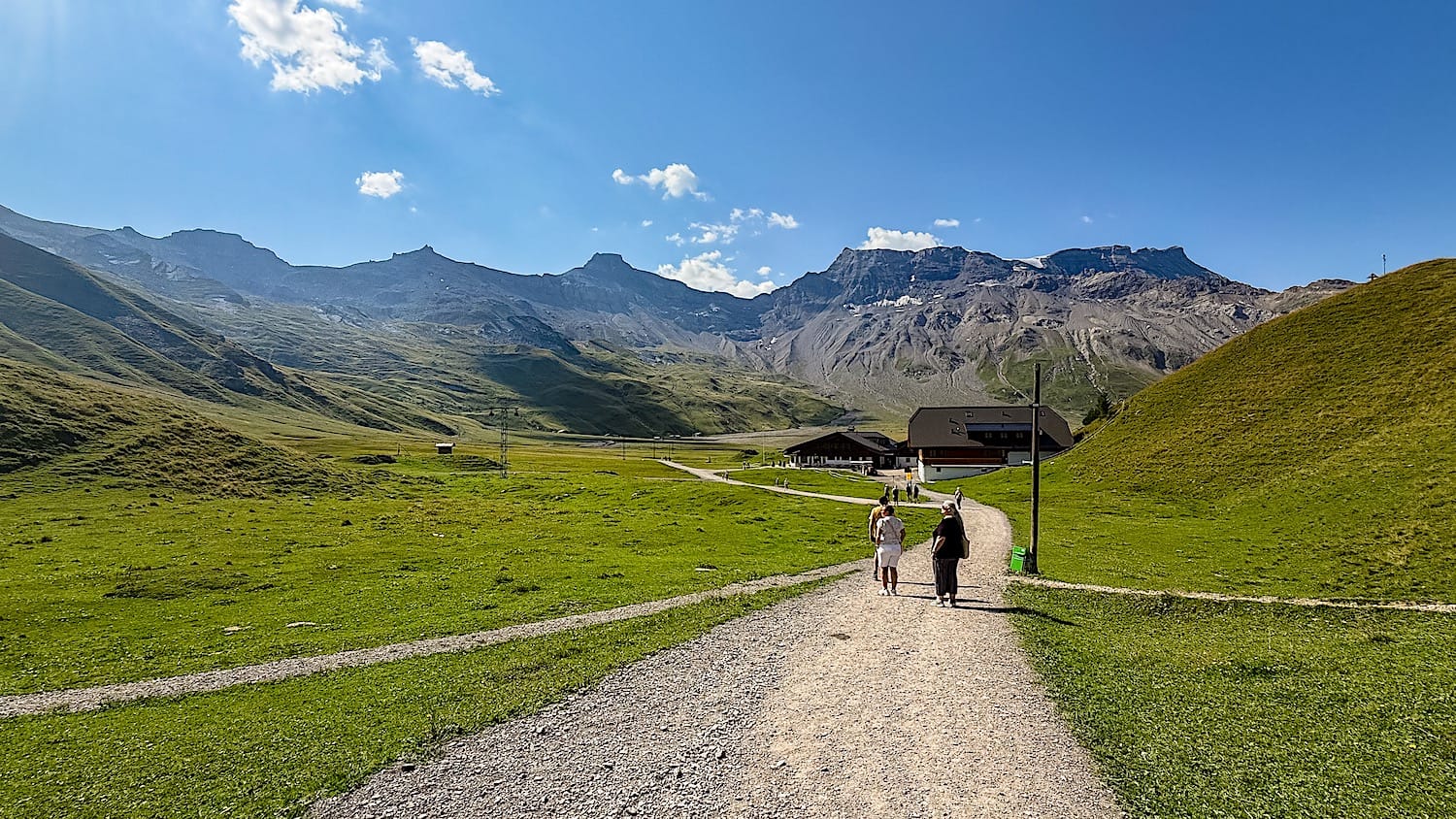
Follow the signs to the waterfall (Waterfall Loop) when you're ready to move on. This will take you to the right, and soon enough you will pass a hut.
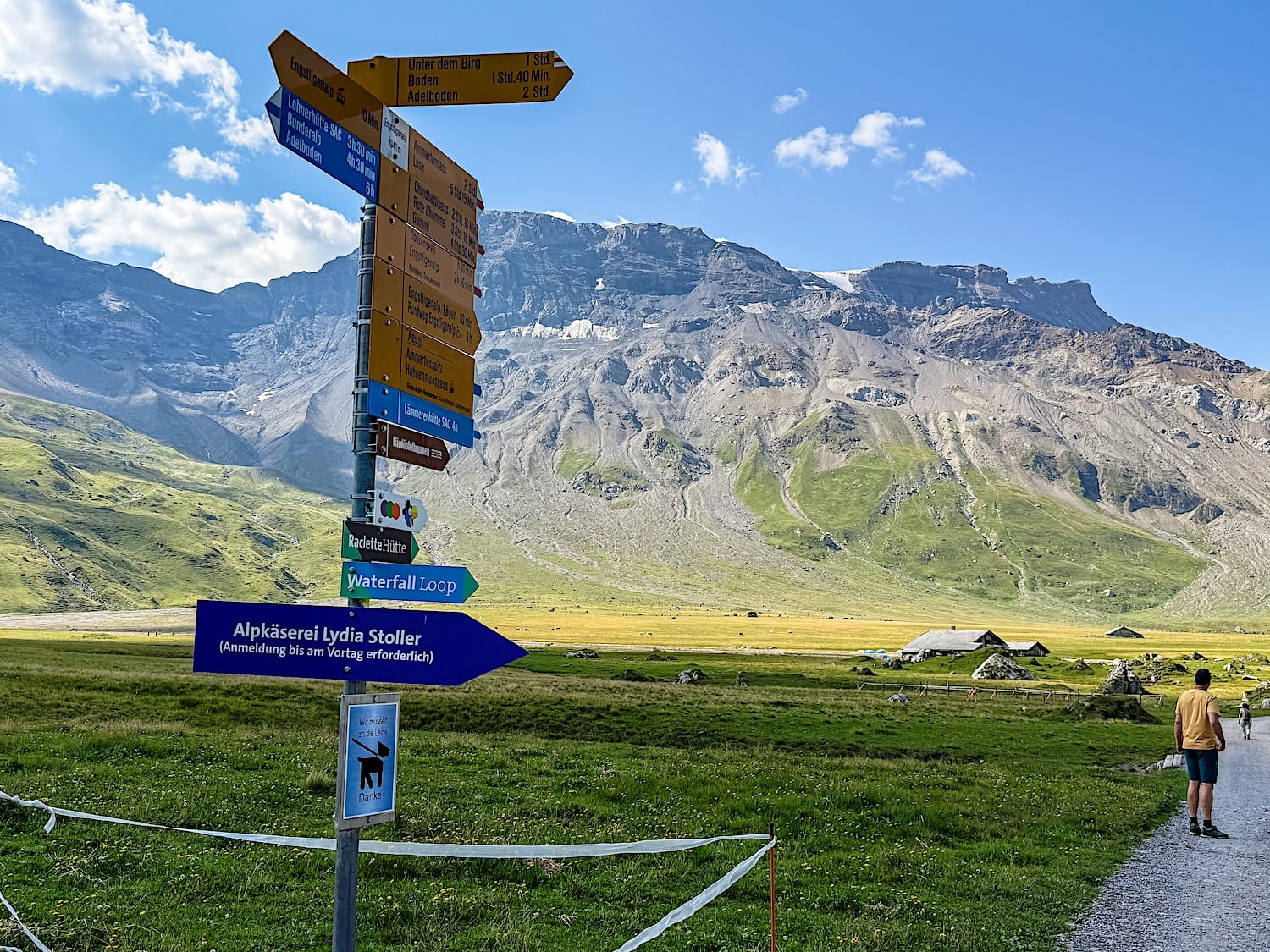
The trail guides you on a semi-circular path, away from the waterfalls first, then back toward them. Stunning mountain views will accompany you even before you see the waterfalls.
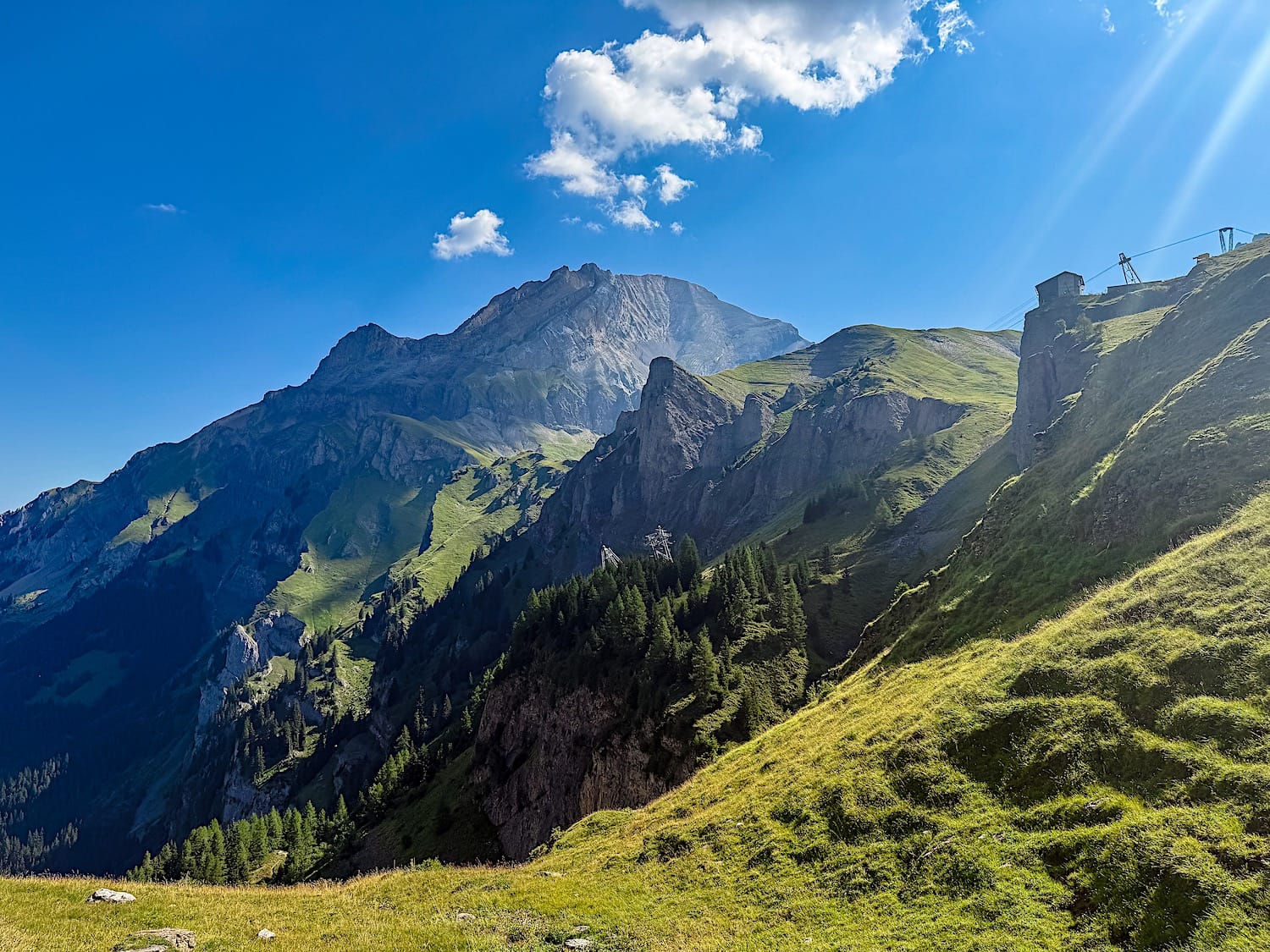
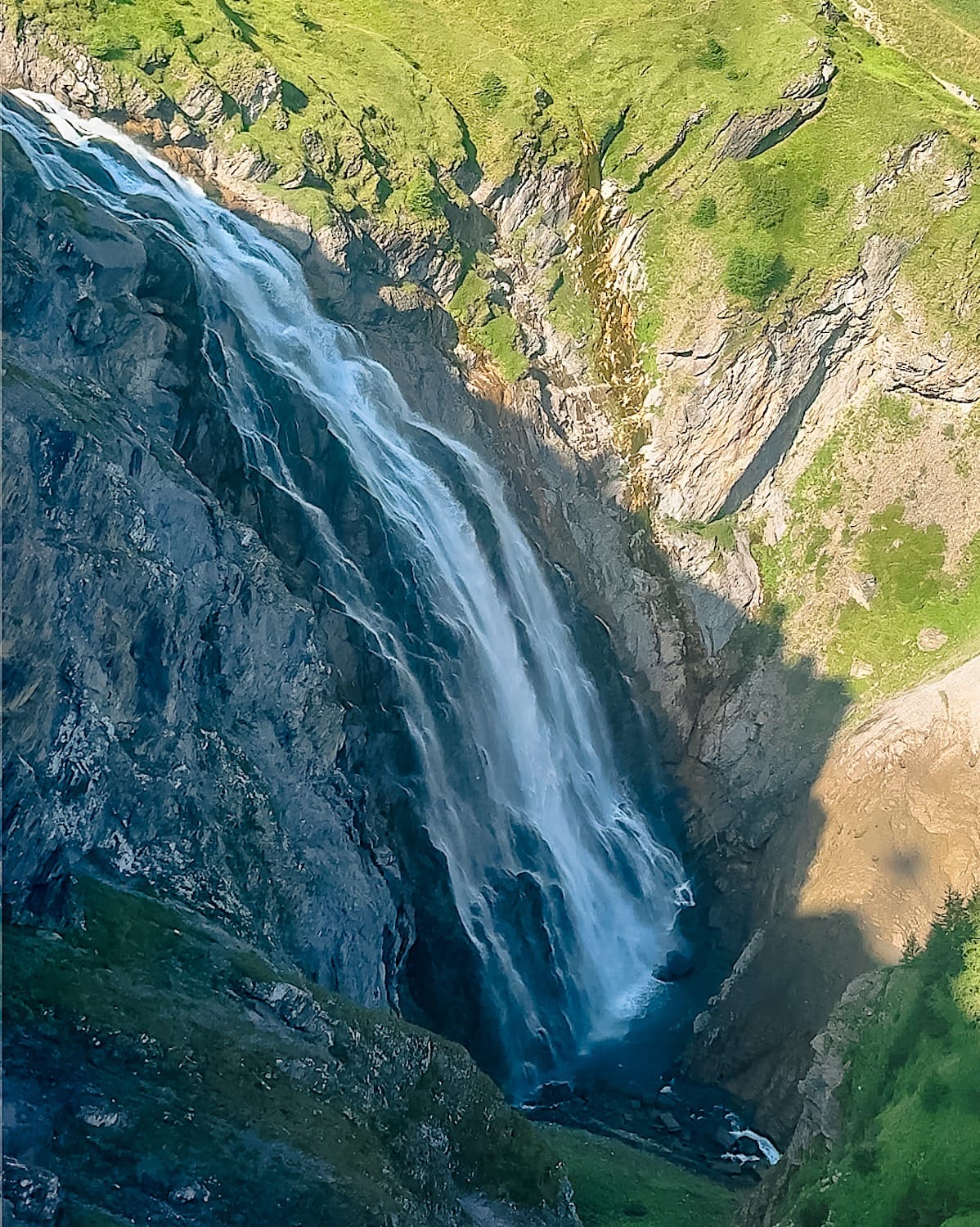
Continue to the first viewpoint, where you can take in the waterfalls from above.
Keep following the trail to reach the base of the waterfalls. This section is the trickiest one, as it is steep and can get slippery, especially when wet. At that slippery part, you can even hold onto steel cables.
Before crossing the bridge, you can take a detour to the right and go up for a closer view of the waterfalls. Beware: this section gets really slippery the closer you get to the waterfalls, so only go up if you're wearing good shoes and as far as you feel confident.
3 Back to the parking lot
After crossing the bridge, the waterfalls soon disappear behind you, and you will have to choose: follow the trail to the right to go back up to the gondola mountain station, or keep descending by taking the path in front of you.
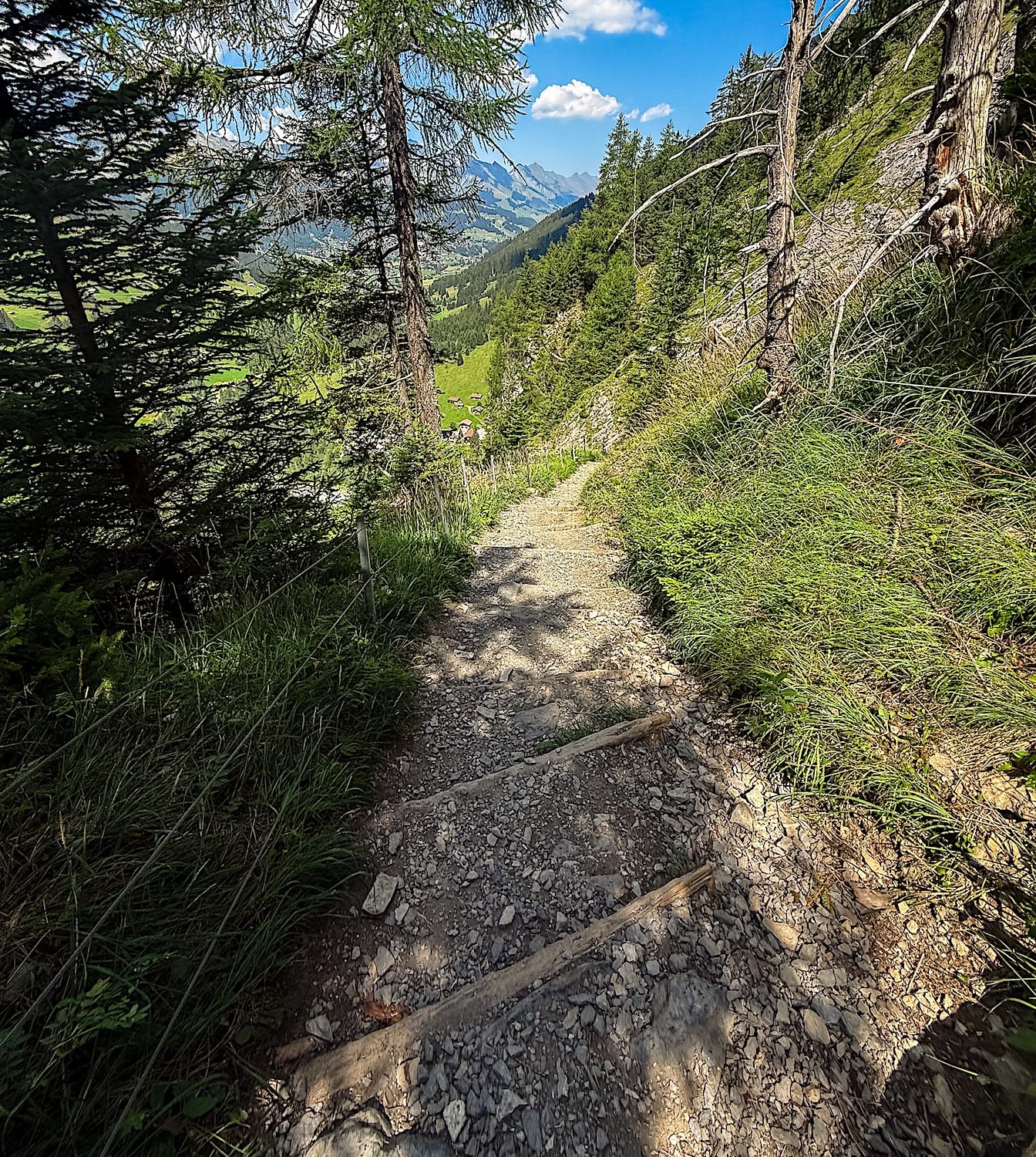
We took the second option and kept on descending. The views are still impressive all the way down, but the trail is practically a staircase.
At the bottom, you'll find yourself in a forest. There's a yellow sign that's not very clear, in my opinion. Follow the Engstligenfall direction to the right to return to the parking lot and bus station.
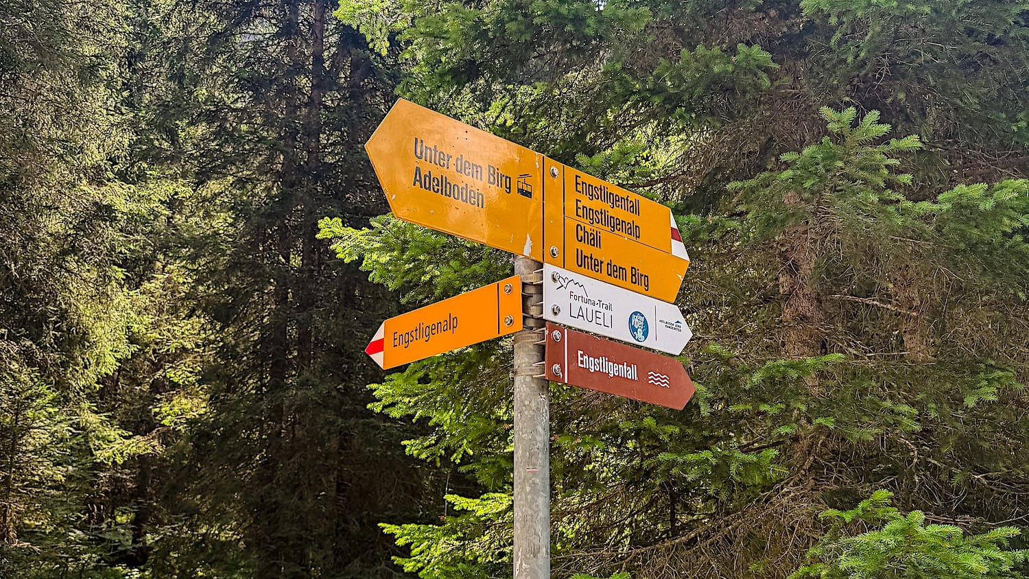
Engstligenfälle FAQ
1. What else is there to do on Engstligenalp?
The plateau has a raclette hut, an alpine cheese dairy, and the Globi trails. Next to the falls is the Chäligang via ferrata, open from 13 June to 18 October 2026 and known as easy. Longer hikes start from the alp too: the Gemmi Pass via the Daubensee (moderate), the Ammertenpass (demanding) and the Lämmerenhütte at 2,502 m.
2. How long does it take to walk up to Engstligenalp instead of taking the gondola?
It takes roughly 1 to 2 hours and a gain of about 700m, passing right by the two waterfalls.
3. Is there a webcam, and how do I check the weather?
Yes. The official webcam is at engstligenalp.roundshot.com. Check it before you go up, because the view of the falls depends on cloud cover.