 Paloma
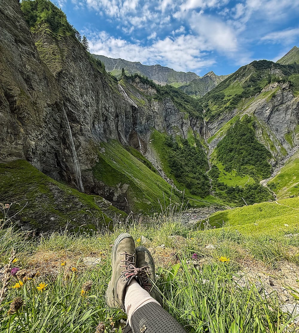
Table of contents
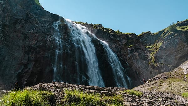
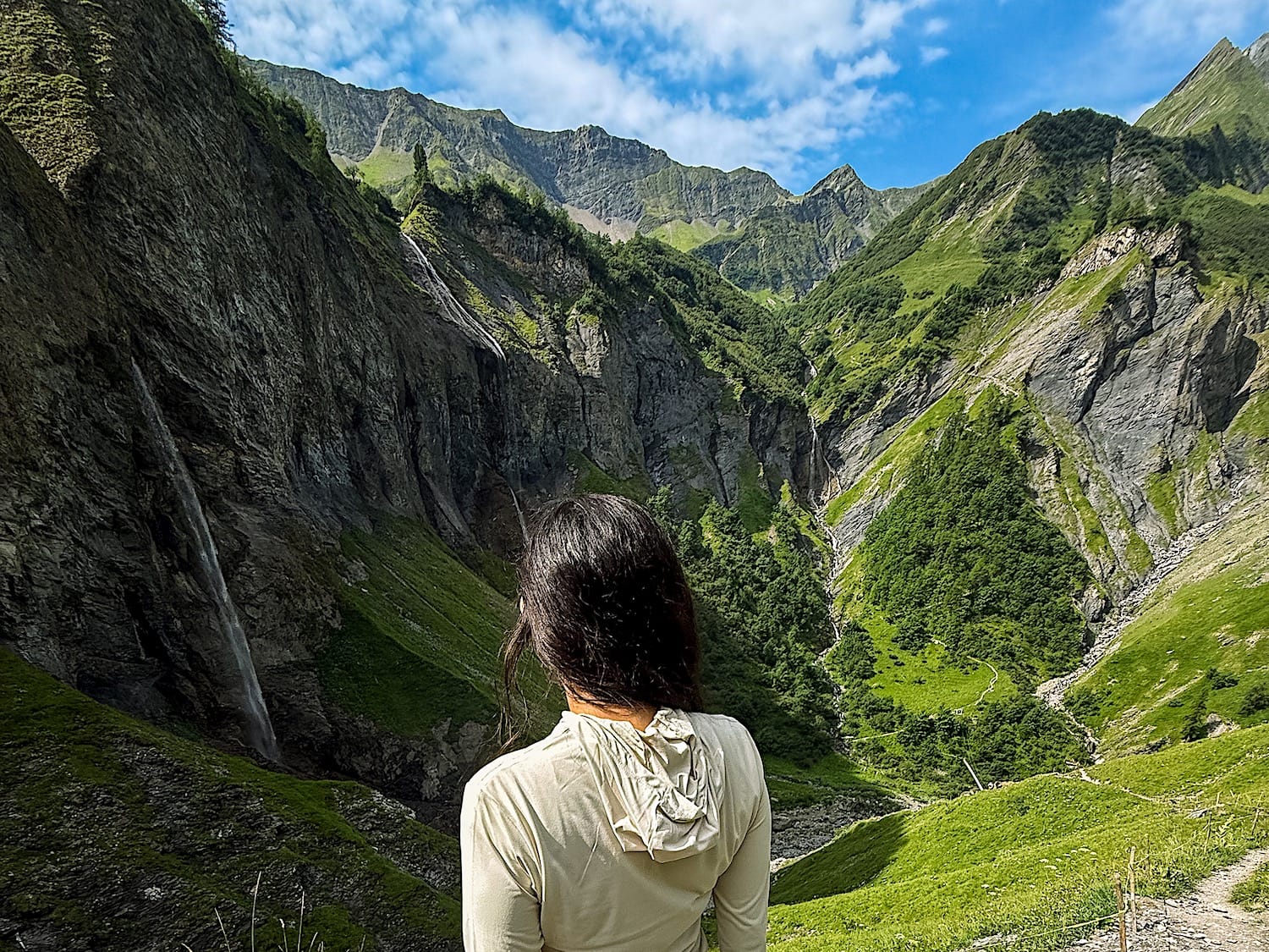
Five waterfalls, some over 80 meters tall, pour off the same cliff wall into a single hidden valley basin. That's the Waterfall Arena Batöni hike in Switzerland (canton of St. Gallen), one of the most spectacular short hikes in the eastern part of the country, and still far less crowded than the big-name spots in the Alps.
These beautiful waterfalls in Switzerland have a wow factor that will make your jaw drop. Tucked inside the UNESCO-listed Tectonic Arena Sardona in the Heidiland region (yes, there's a region named after Heidi, or probably the other way around), the trail starts in the quiet village of Weisstannen.
Although the uphill parts will test your cardio, you don't need to be an expert to do it: the classic out-and-back path takes around three and a half hours.
In this guide, I'll walk you through the route from Weisstannen, how to get there by car or public transport, where to find the best waterfall viewpoint, and the tips I wish I'd known before going, including what to pack and the best time to visit.
The hike at a glance
Hard- Distance
- 5.3 miles (8.5 km), out-and-back
- Time needed
- 3.5 to 4 hours total
- Elevation gain
- 1939 ft (591 meters) up & down
- Starting point + Parking
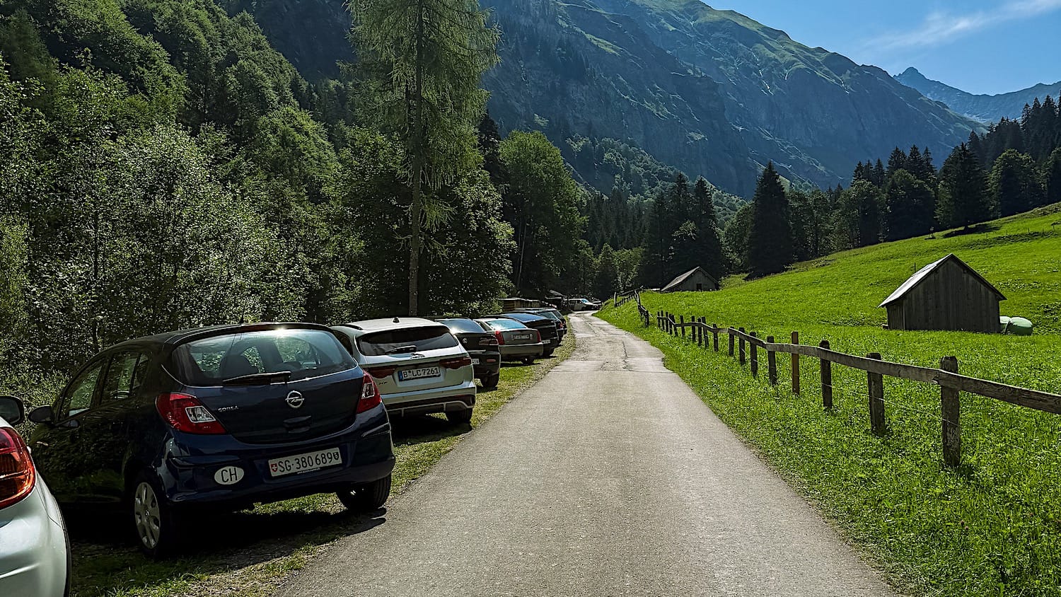
- Parkplatz zu Wasserfälle
- Cost
- Free, since there's no cable car
- Crowds
- Low to Medium
- Sun exposure
- Low to High (through a forest, then exposed in the afternoon)
Trail overview
Hiking Map
Difficulty
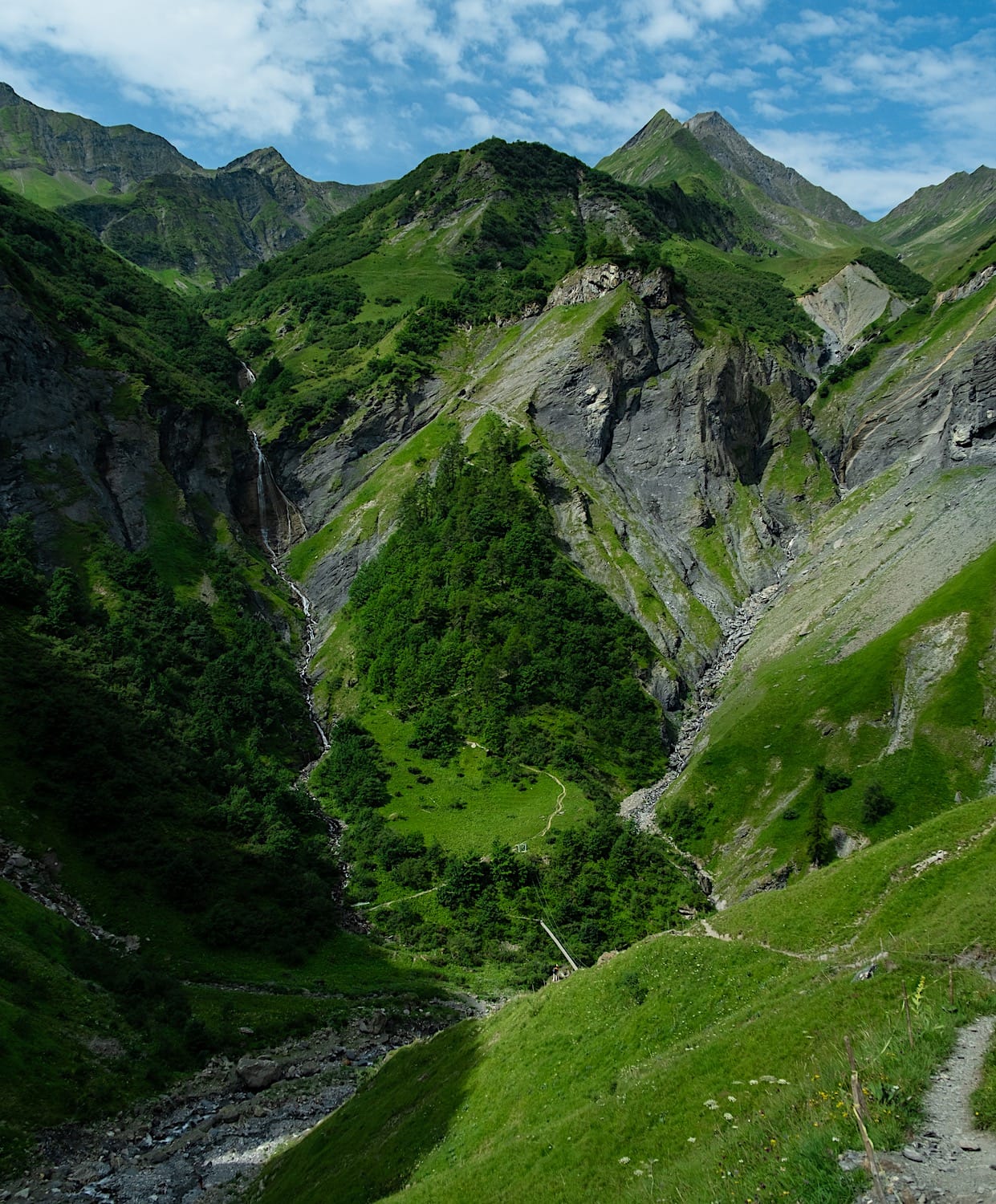
This hike is hard because almost the entire way up to the waterfalls is uphill.
But honestly, the hard part is the first hour, as you will have to go up and down steep slopes, so take it easy. After that, it gets easier, even though you're still going uphill.
Finally, if you want the famous waterfall photo, you will have to keep going for about 5 to 10 minutes up an even steeper hill until you find an angle you like for your pictures.
Variations
You can also do this hike as part of a point-to-point hike from Weisstannen to Batöni (as described in this guide) and then push further to the Pizol Hütte.
That itinerary is a challenging 7.5-mile (12km) route and takes about 6 hours to complete. You can also do Pizol as a day hike; you can find all the information in this guide.
How to get there
By car
Drive to the parking lot at the start of the trail, located here. It takes roughly 2 hours from Zürich.
By public transportation
Reaching the trail by public transportation is really easy, as the bus drops you off (almost) at the start of the trail.
From Sargans train station, take bus 432 to Weisstannen, Oberdorf station, then cross the bridge and turn left.
Practical planning
Operating hours & cost
Since there's no cable car to start this hike, it is completely free and the hours are flexible.
Services on the Mountain
There are no restaurants or hotels on this hike, so bring enough water and snacks.
However, you can eat and drink at Hotel Alpenhof Weisstannen, a few meters away from the start of the trail.
The trail in pictures
1 The hardest section
The trail is uphill right from the start, but brace yourself because you will soon reach a couple of steeper uphill sections. These uphill sections are like a roller coaster where you go up, down, then up again. Luckily, they are short, but they still will test your endurance.
This section only lasts about 1 hour and goes through a forest. Unfortunately, I was gasping for air myself, so I don't have pictures from this part.
2 Up to the waterfalls
Once the hardest part is done, the trail keeps on ascending, but more gradually.
In this section, the view of the landscape will be unobstructed, as the forest will be behind you.
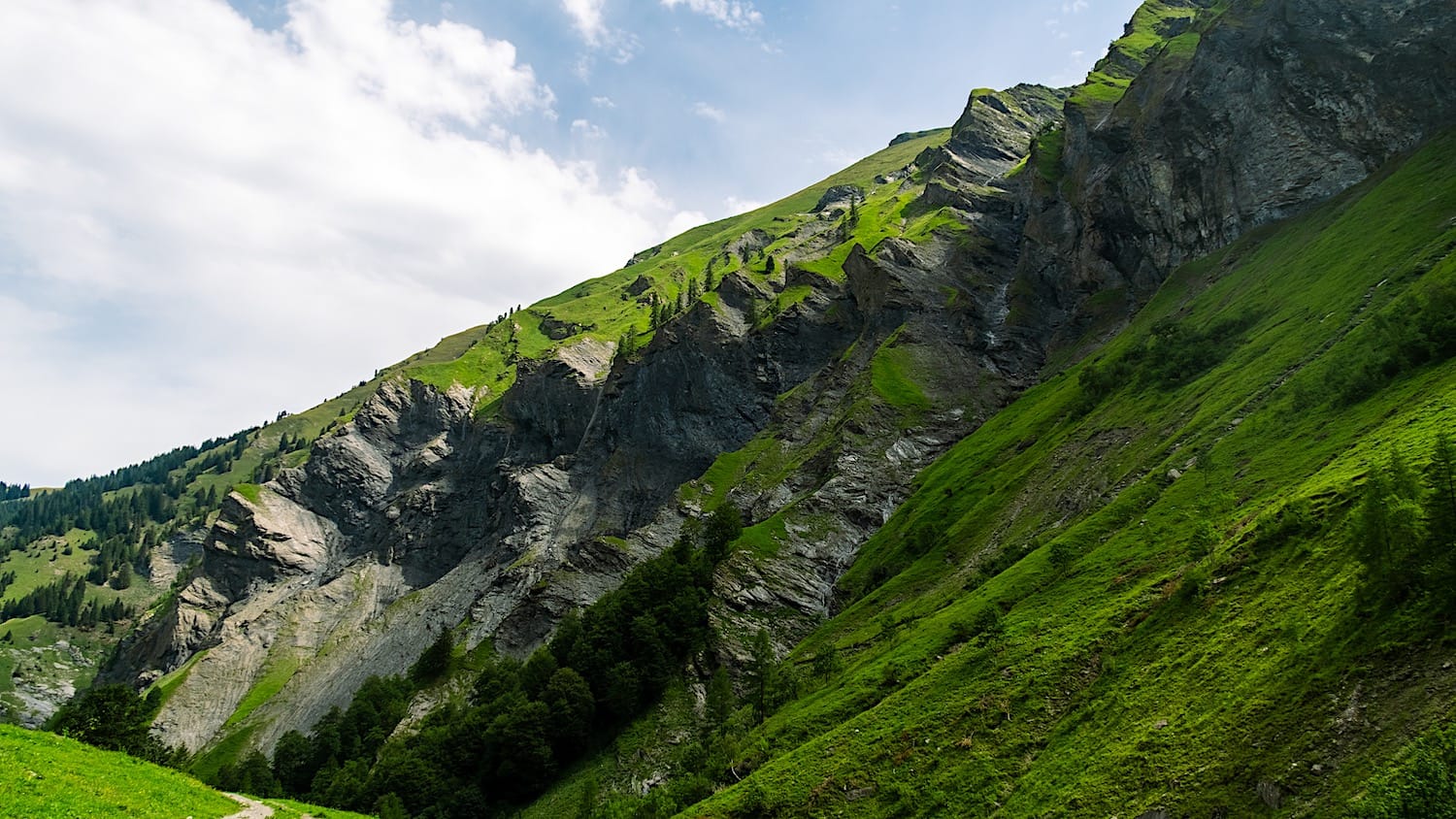
After another hour, you'll reach the base of the waterfall. The view is already impressive from there, but if you want to capture the famous picture, you will have to continue to the left, up the mountain (direction Pizol).
This is a truly steep section, so climb only as far as you feel comfortable.
Unfortunately, the waterfalls didn't have as much water when we were there, but the landscape was still stunning. This is one of those places where you feel immersed in the landscape.
3 Back to the parking
After taking all your pictures and taking in the views, head back the way you came until you reach the parking lot or the bus stop.