
 Paloma

Table of contents
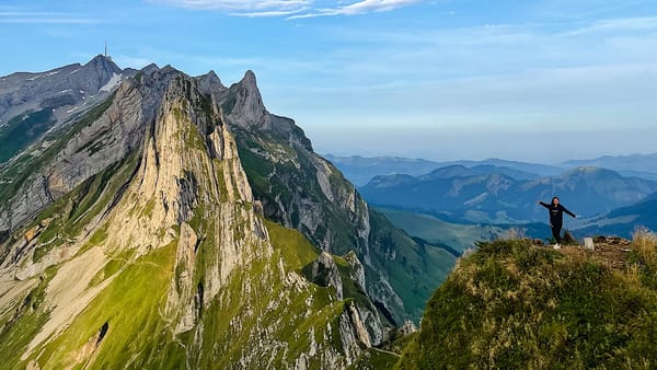
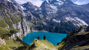
When they first saw my pictures, some of my friends thought this impressive geological formation belonged to the more famous Dolomites mountain range in Italy. However, this social media-famous mountain belongs to the eastern Swiss mountain range of Alpstein in the canton of Appenzell.
The Saxer Lücke hike (also spelled Saxer Lucke) offers jaw-dropping views on a moderate-difficulty hike. It sits near the even more famous Schäfler Ridge, and is perfect for a day hike during your Swiss Holiday.
In this article, you will find everything you need to plan your day, from how to get there and the cost to the different hiking options and trail details.
Let's dive in!
Hiking to the Saxer Lücke
Option 1: Saxer Lücke + Fählensee hike from Frümsen via Staubern
This is the version I will go into detail in this guide.
Type: out-and-back
Elevation: ↑ 145m / ↓ 378 m
Distance: 8.6 km
Time: 4 hours total
Difficulty: Medium (T2)
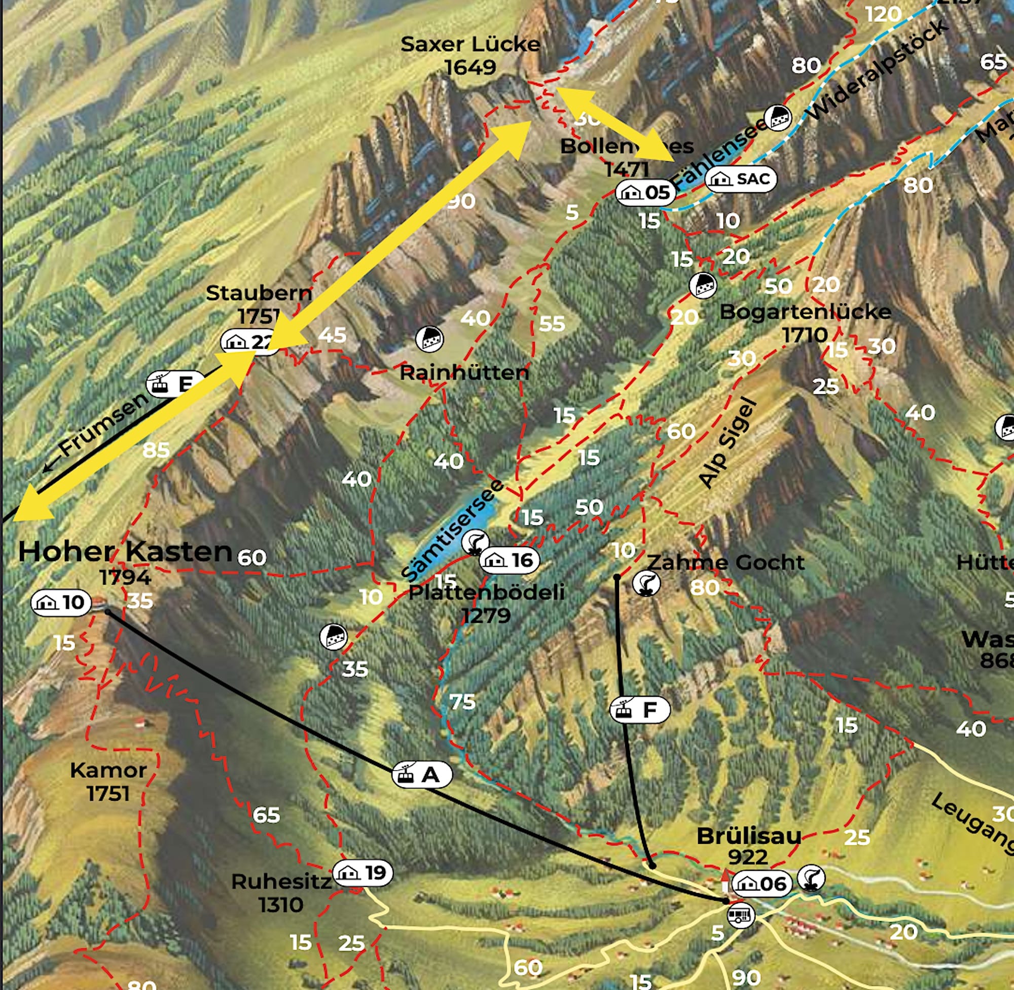
See the detailed route on AllTrails:
Variation
When I first started researching the hike to Saxer Lücke, I came across several versions that were always somewhat confusing. So, I'll explain other ways you can do this hike.
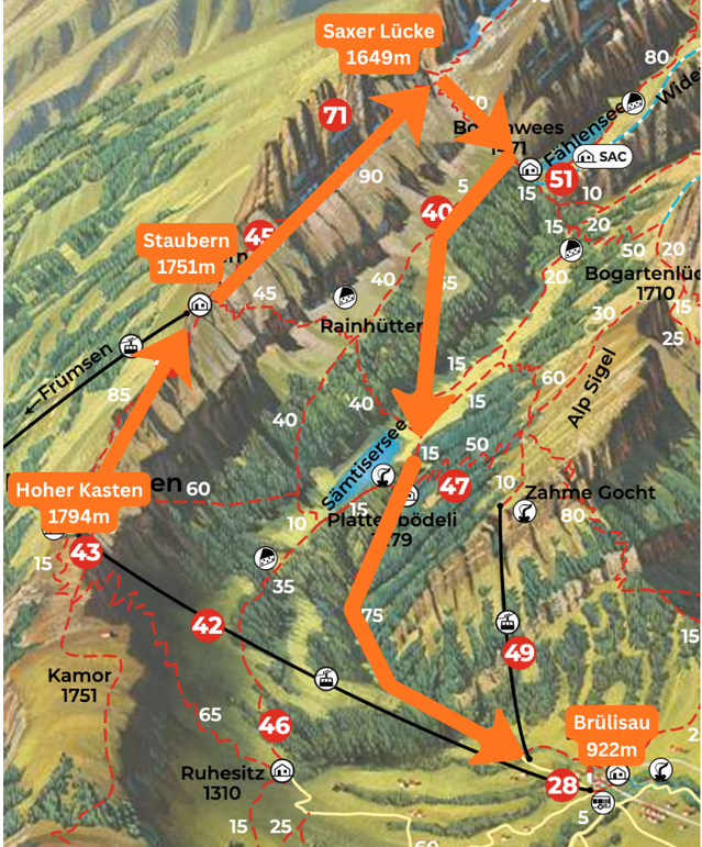
Option 2: Brüsilau to Hoher Kasten - Saxer Lücke - Fählensee - Sämtisersee - Brüsilau
Type: point-to-point on a semi-loop Elevation: ↑ 590m / ↓ 1141 m
Distance: 16.7 km
Difficulty: Hard
Drive to the Parkplatz Kastenbahn, about 1h20 from Zürich.
Nearest bus stop is Brülisau, Kastenbahn
Detailed route on AllTrails.
How to get to Saxer Lücke
By car:
Drive to the Frümsen, Luftseilbahn Staubern in the village of Frümsen. When the parking lot is full, people drive past the cable car station and simply park in the wider wooden part there.
Driving from Zürich takes about 1h30.
I highly recommend downloading either the Parkingpay or the EasyPark app to pay for the parking. I prefer Parkingpay, as it's easier to sign up for and use, and you can add or reduce the parking time directly from your phone.
By public transportation:
The nearest bus stop is Frümsen, Luftseilbahn Staubern.
Where to stay near the Saxer Lücke
Most people do this as a day hike, but you can also sleep on the mountain for a great sunrise view of the Saxer Lücke.
At the top of the cable car
Berggasthaus Staubern sits right next to the Staubern cable car station and has rooms and a dormitory. You can walk to the Saxer Lücke from here in the early morning, and the cable car runs late (until 10:00 pm in summer), so you can arrive in the evening.
At the Fählensee
Berggasthaus Bollenwees sits on the lake and is the most atmospheric option. It's open from mid-May to the end of October and offers double rooms and mattress dormitories. It books out fast in summer, so reserve as early as you can.
In the valley
Frümsen, where Option 1 starts, is on the other side of the Alpstein from Appenzell, so check the drive time before you book. For Option 2, which starts in Brülisau, the closest bases are Brülisau, Weissbad, and the village of Appenzell. Rooms in Appenzell and Weissbad are easy to find in summer.
Practical Planning
Fees
In 2026, a round-trip cable car ticket costs 40 CHF for adults and 20 CHF for children over 6. No discount cards are accepted. You can double-check current prices here.
You can buy your ticket directly at the cable car station, as there's currently no option to buy tickets online.
Operating hours
This is one of the few cable cars in Switzerland that operates late into the evening. From June to September, it runs daily from 7:00 a.m. to 10:00 p.m. Check the current timetable here.
Note that the cable car may stop service in bad weather and for maintenance.
What to bring on a hike to Saxer Lücke
- Sturdy hiking shoes
- At least 1.5 liters of water per person
- Sunscreen, sunglasses & hat on sunny days.
- A rain jacket, as the weather can quickly change
- Camera
When to Hike to Saxer Lücke
The best time to hike to the Saxer Lücke is from June to October, as the cable cars run continuously between those months.
Best time of the day to Hike to Saxer Lücke
This hike has gained popularity in recent years, so if you want to avoid the crowds, go as early as you can. Arriving early also helps, as you will have shade on the uphill part in the morning.
Note, however, that the Saxer Lücke itself won't be illuminated by the sun until the afternoon.
Saxer Lücke hike in pictures (option 1)
1 From Frümsen to Staubern
To take the cable car to Staubern, you must buy a ticket from the ticket machine at the station. This is an uncrewed station, so if you need assistance, call them using a button next to the turnstiles that regulate access to the cable car.
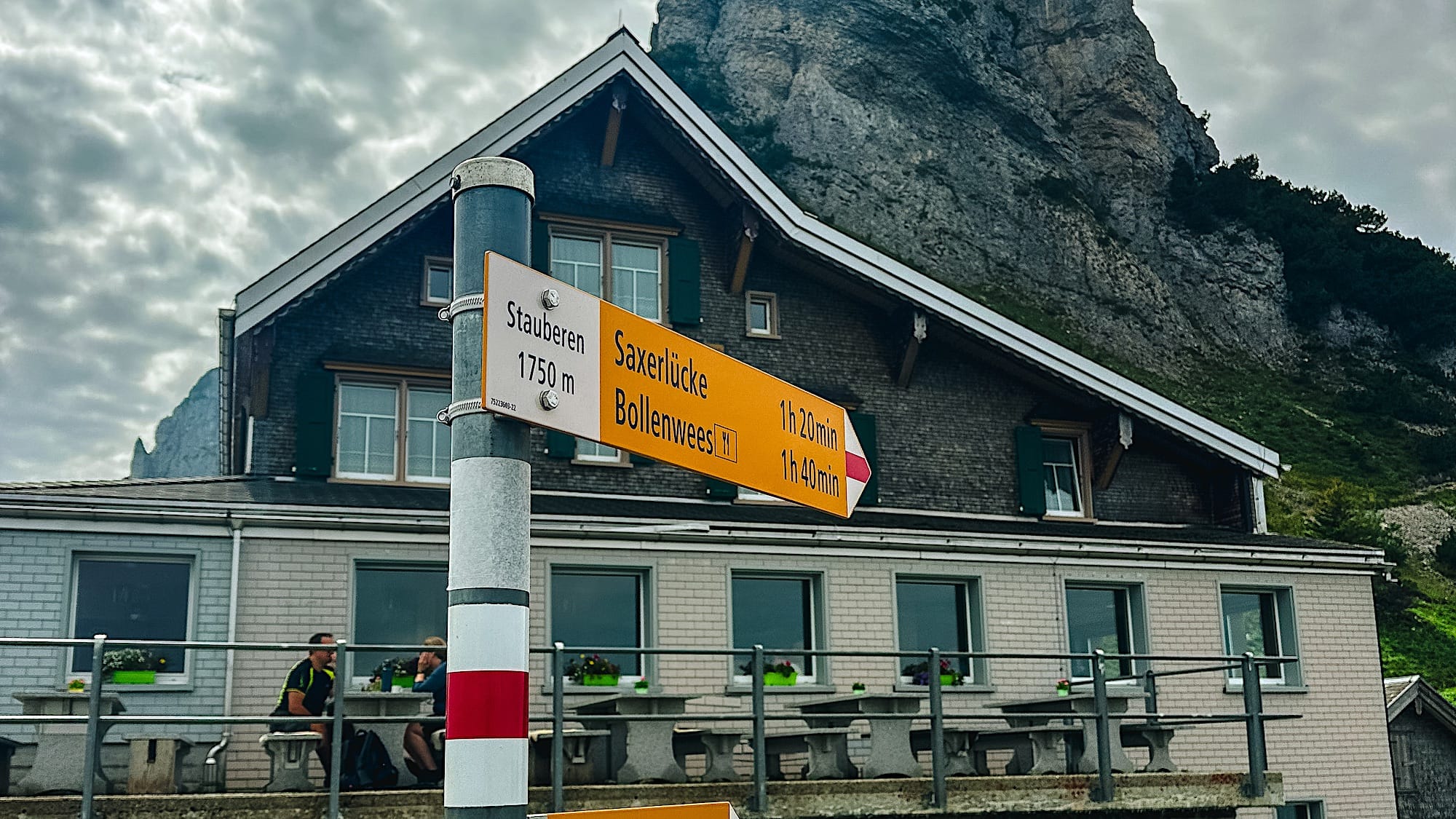
At the top, you will find the Staubern hut, where you can use the toilets and eat and drink if you like.
2 From Staubern to Saxer Lücke
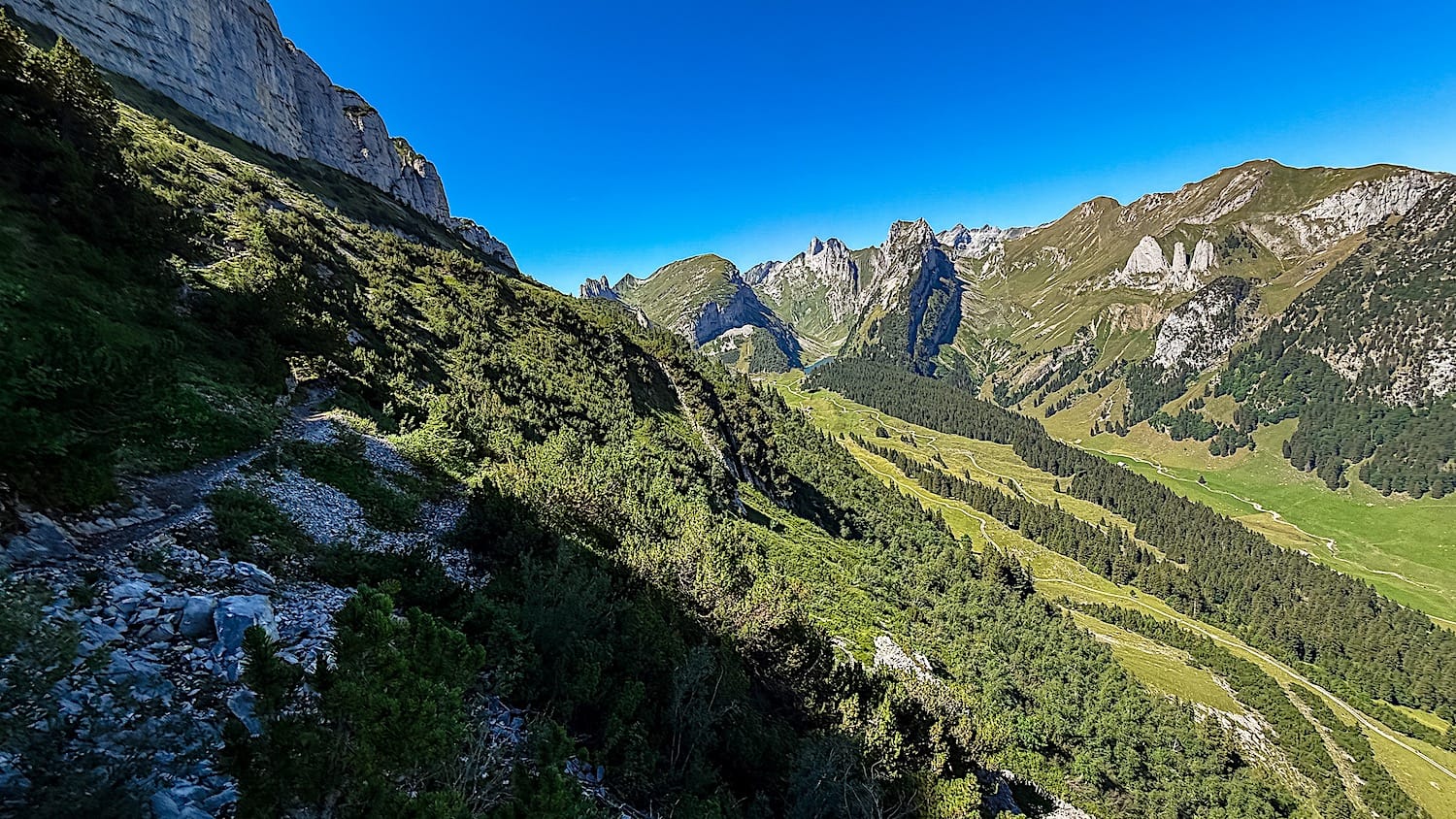
The first part of the trail is the hardest on the section leading up to the Saxer Lücke.
You have to go down some rocky stairs secured by a metallic cord to hold onto, but the views are already stunning. Then, the path gets briefly steep, and you will climb some rocks (nothing too crazy, but there are no steps).
After that, the trail flattens out, letting you take in the landscape more easily. From here, you can see the Fählensee from above.
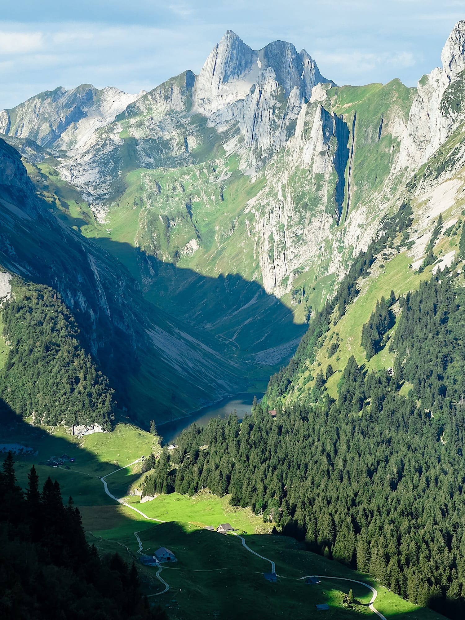
You will soon start seeing the shape of the Saxer Lücke while on the trail. Keep going for about 30 minutes to see the Saxer Lücke in full.
Just before you enter the switchbacks, there's a steep slope with a path where you can climb. If you want the picture below, climb there. Going up is easier than it looks, but coming back down is tricky, so only go up there if you have good shoes.
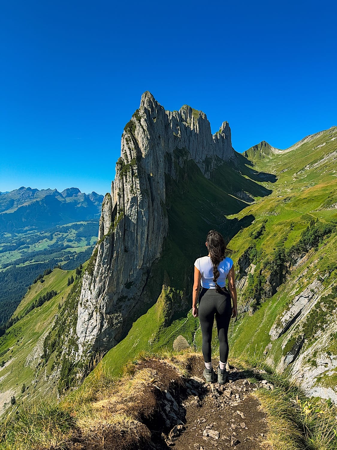
Even if you don't climb to that viewpoint, there's plenty of photo opportunities along the trail.
At this point, you can choose to end your hike there and turn around or continue to the Fählensee Lake.
3 From Saxer Lücke to Fählensee
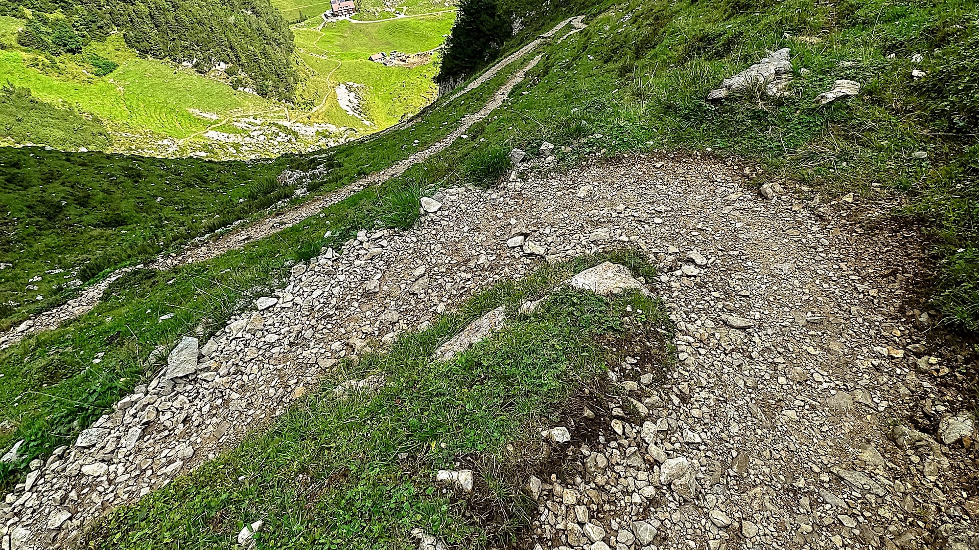
The next part of the trail is all downhill switchbacks. The terrain is made of loose rock, so it can get slippery, especially if you're not wearing hiking boots.
This section was my favorite because you appreciate the magnificence of the Saxer Lücke geological formation as you approach it.
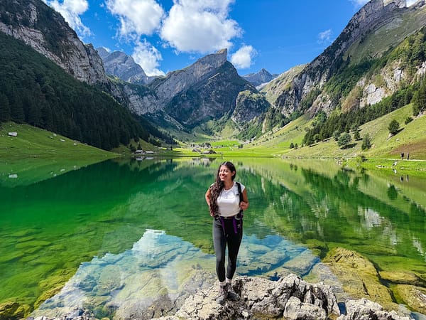
Once you reach the valley, you can swim in the lake or relax by it. You can also grab something to eat or drink at the Bollenwees hut while enjoying the view.
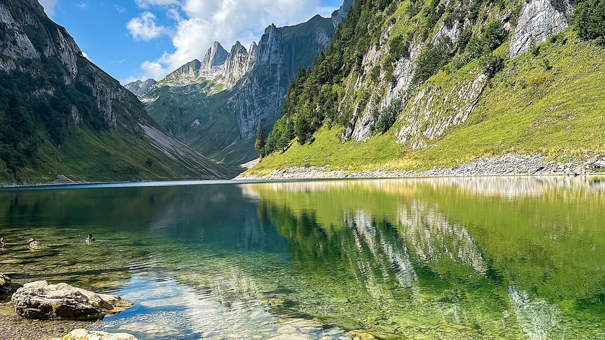
Remember that you will have to go back up the same way you came down. Although the way up is steep, it is feasible with the right equipment (aka hiking boots and poles, although I didn't need the latter).
By this point, you will have already been hiking for a couple of hours, so walking uphill on what feels like never-ending switchbacks can get tedious and tiring. This is the hardest part of the whole trail.
Saxer Lücke Hike FAQ
1. How hard is the Saxer Lücke hike?
It's rated Medium (T2). The first part is challenging: rocky stairs with a metal cord to hold onto, then a short, steep section where you climb rocks.
After that, it flattens out. The way down to the Fählensee is all loose-rock switchbacks, which can be slippery. Getting back from Lake Fählensee is the hardest part.
2. How long does the Saxer Lücke hike take?
Option 1 is an 8.6 km out-and-back from Staubern to the Fählensee. It takes about 4 hours total to complete.
3. How do I get to the Saxer Lücke?
Take the Staubern cable car from Frümsen. By car, it's about 1h30 from Zürich; by bus, get off at Frümsen (Luftseilbahn Staubern).
4. How much does the Staubern cable car cost?
In 2026, the round trip costs 40 CHF for adults and 20 CHF for children aged 6 and up. No discount cards are accepted. Buy your ticket at the station, since there's no online option for now.
5. What are the Staubern cable car's opening hours?
From June to September, it runs daily from 7:00 am to 10:00 pm. It can stop in bad weather or for maintenance.
6. Where do I park for the Saxer Lücke?
Park at the Frümsen, Luftseilbahn Staubern station. When the lot is full, people park in the wider wooden area just past it. I recommend the Parkingpay or EasyPark app to pay.
7. When is the best time to hike to the Saxer Lücke?
June to October, when the cable cars run. Go early to avoid crowds and to get shade on the uphill part, although the Saxer Lücke itself won't be sunlit until the afternoon.
8. Can you hike to the Saxer Lücke from Hoher Kasten?
Yes. Option 2 starts in Brülisau, goes over Hoher Kasten, past the Saxer Lücke and the Fählensee, then via the Sämtisersee back to Brülisau. It's 16.7 km and rated Hard. Park at Parkplatz Kastenbahn, about 1h20 from Zürich.
9. What is there to do at the Fählensee?
You can swim in the lake or relax on the shore, and eat or drink at the Bollenwees hut.
10. Can you stay overnight near the Saxer Lücke?
Yes. Berggasthaus Staubern is next to the cable car station, and Berggasthaus Bollenwees is on the Fählensee. Both have rooms, and Bollenwees also has dormitories. Book early in summer.