
 Paloma

Table of contents
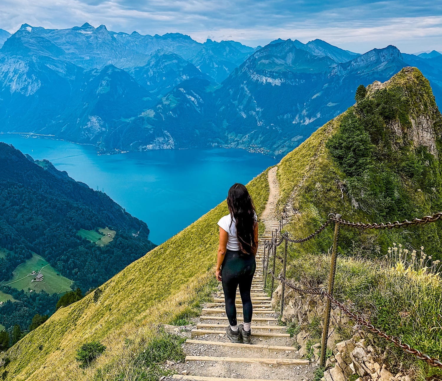
Switzerland has many incredible hiking sites, and the Stoos Ridge Hike is among the most beautiful day hikes from Zürich or Luzern. On this hike, you will enjoy amazing views over the impressive Lake Luzern surrounded by the Swiss Alps.
Don't be fooled by the pretty pictures on social media, though; this is not a stroll in the park! It's more like a StairMaster, since most of the trail is made up of stairs. And don't forget the last killer ascent right before you finish the route!
Is it still worth it, though? Absolutely! Your effort will be rewarded with views that look like they came straight out of a painting and some of the greenest meadows you will ever see!
This guide has everything you need to plan your hike, including how to get there, what to bring, how long it will take, and more.
The hike at a glance
Moderate (T3)- Distance
- 2.8 miles (4.5 km), point-to-point
- Time needed
- 2 to 3 hours total
- Elevation gain
- 1312ft (400m) up & down in a rollercoaster pattern
- Starting point
- Stoosbahnen
- Parking
- Parkhaus Stoosbahnen P1 or Parkplatz Stoosbahnen P2
- Cost
- 58CHF return for adults, several reduction cards are accepted
- Crowds
- Medium to Extra high
- Sun exposure
- High
Trail overview
Area Map
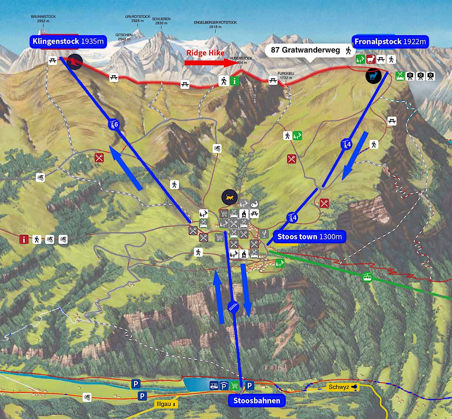
Stoos Ridge Hike Map
Difficulty
As I mentioned in the intro, this hike isn't as easy as it may seem. It is also not a crazy-hard hike, but be prepared to climb a ton of stairs up and down.
This article describes the hike from Klingenstock to Fronalpstock so that you will be going downhill for about 2/3 of the trail. However, be prepared for a hard uphill section that seems to never end just before the finish.
Variations
Option 1
You can also choose to do this hike in the opposite direction, starting at Frontalpstock and ending at Klingenstock. But then again, you wouldn't face the lake most of the way.
Option 2
If you want the best view of Lake Lucerne without hiking the whole Stoos Ridge, get off the funicular in Stoos, then take the 2 chairlifts to Frontalpstock.
From there, take an easy 30-minute stroll (1.6km) with amazing views over the lake.
How to get to the Stoos Ridge
By car:
Drive to Stoosbahnen. Two large parking lots are next to the funicular station, plus plenty of paid parking along the road.
It takes about 40 minutes from Luzern to Stoos and about 50 minutes from Zürich to the funicular valley station.
By train:
From Zürich or Luzern, take a 1.5-hour train to Schwyz, then take bus 501 to the Schwyz, Stoosbahn stop, which will leave you right in front of the funicular valley station.
Alternatively, you can reach the beginning of the trail from Morschach via a chairlift. Personally, I think riding the world's steepest funicular is an experience you shouldn't miss, so I won't detail the route to/from Morschach in this guide.
Practical planning
Operating hours
During high season, the Funicular from Schwyz to Stoos is in circulation daily from 7:10 am until 10:40 pm (11:40 pm on Friday and Saturday)
However, the chairlift from Stoos to Klingenstock is only open from 9:00 am to 4:00 pm daily. This means that even if you catch the first funicular in the morning, you will have to wait until 9:00 am to get up to the start of the trail.
Finally, the chairlift from Fronalpstock to Stoos runs daily from 9:00 am to 4:00 pm, and from May through September, it runs until 5:00 pm; the Klingenstock chairlift is also in operation.
Note that the chairlifts may interrupt service for maintenance or due to bad weather. Double-check that they're running before you go here.
Fees
In 2026, the Peak Experience Ticket costs 58 CHF return. Several discount cards are accepted and offer different discount percentages.
This ticket includes a return trip on the funicular plus a return trip on the chairlift to Fronalpstock or Klingenstock (or a mix-and-match of the two, e.g., up by chairlift to Fronalpstock and down by chairlift from Klingenstock). You can buy your tickets here.
What to bring
- A good pair of sturdy hiking shoes
- At least 1.5 liters of water per person on sunny days
- Sunscreen, sunglasses & hat on sunny days.
- Camera
When to go
The Stoos Ridge hiking trail is secured with chains from early June until early November. In winter, it is snow-covered and not passable.
This is a VERY popular hike, so try to get there as early as possible to avoid the buses of tourists arriving around 11 a.m. If you come to Switzerland in summer, avoid hiking on weekends if possible.
Where to eat
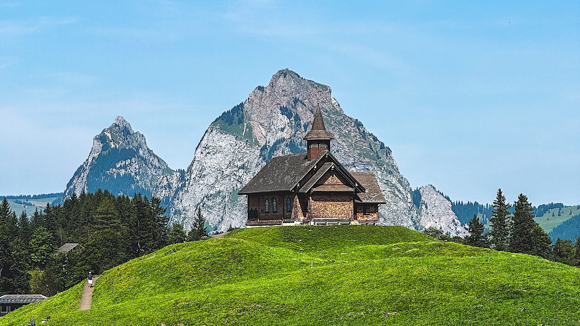
You can eat with a view over Lake Lucerne at the Fronalpstock restaurant at the end of the hike; it accepts cash and cards.
Alternatively, there's plenty of restaurants in the village of Stoos.
Where to stay
Schwyz
Schwyz is the closest valley city to the funicular valley station. From the village, it's a short 8-minute car ride or a 12-minute bus ride to the funicular.
Reaching the Stoos funicular on foot is harder, as it takes about 1 hour to walk from the village to the funicular valley station.
Stoos
This alpine village is where the chairlifts depart. So if you want to catch the first chairlift without waking up too early, staying in Stoos is a great option.
Fronalpstock
If you want to experience more than just the landscape on your hike, consider staying at the Fronalpstock mountain hut. This is the best way to enjoy sunrises and sunsets on the mountain.
The trail in pictures
1 Funicular from Schwyz to Stoos
This funicular is not only the steepest in the world, but also one of the most uniquely shaped. It's almost as if the several cylinders were held together magically!
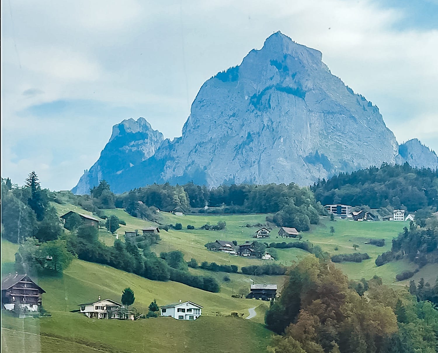
During the ride, you won't see much of the landscape, as most of the journey is inside a tunnel. However, try to get a spot near the left side of your cylinder when you enter it; this will let you enjoy the landscape for as long as you can.
2 Chairlift to Klingenstock
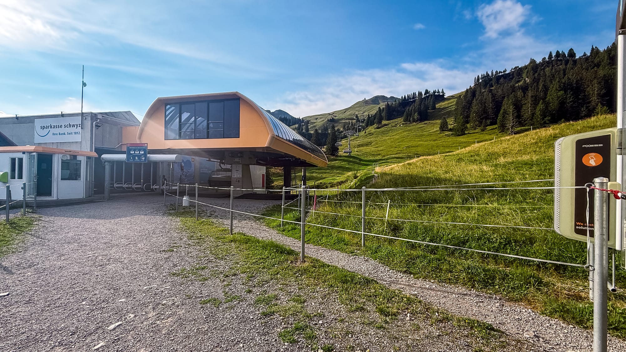
Getting to the chairlift takes about 15 minutes.
After getting off the funicular, walk straight, then turn left at the intersection. You will soon find some stairs you'll have to climb. After that, follow the uphill trail toward Klingenstock.
3 The Ridge Hike
Once you're at Klingenstock, follow the only path ahead. The trail starts nice and flat, but quickly turns into a never-ending stair climb.
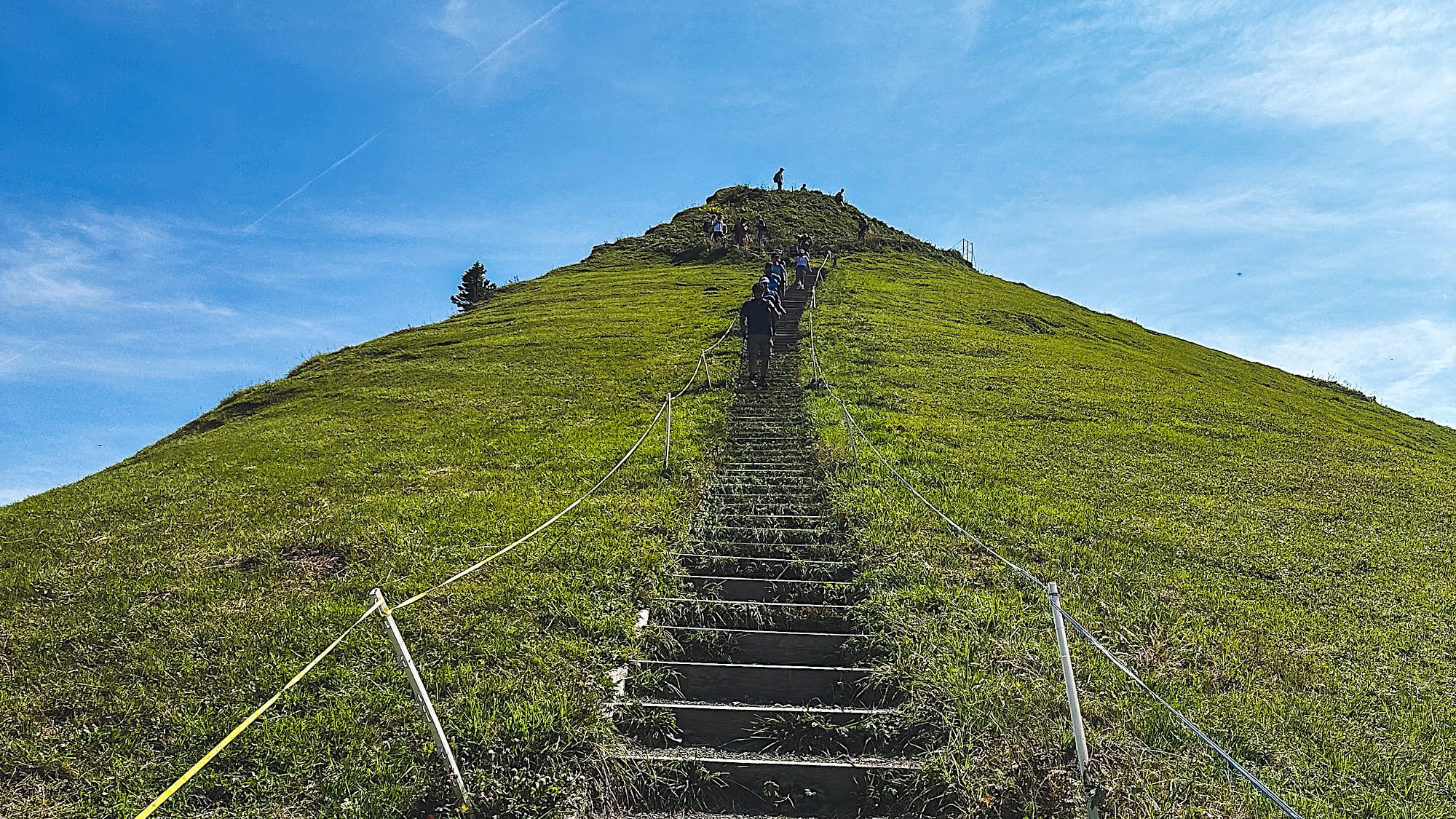
However, the views make you partially forget about the stairs.
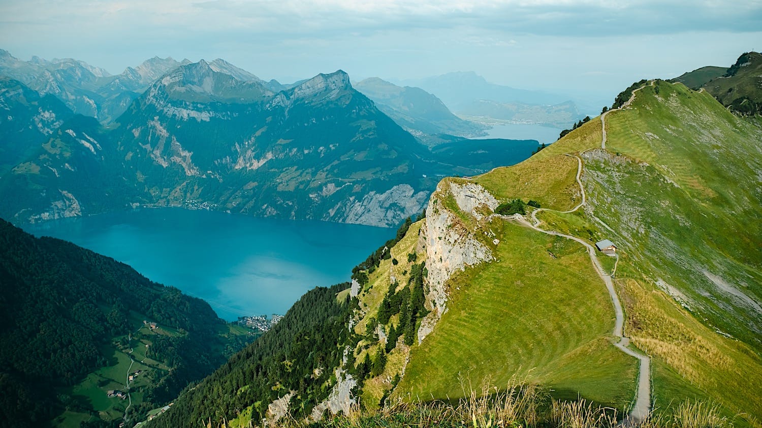
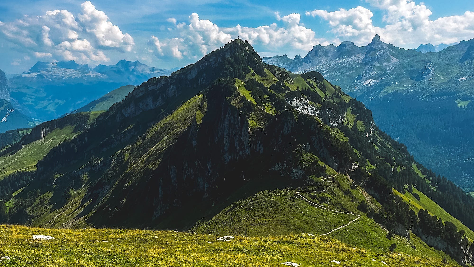
The famous viewpoint from social media is located towards the end of the hike, right before the more challenging uphill section.
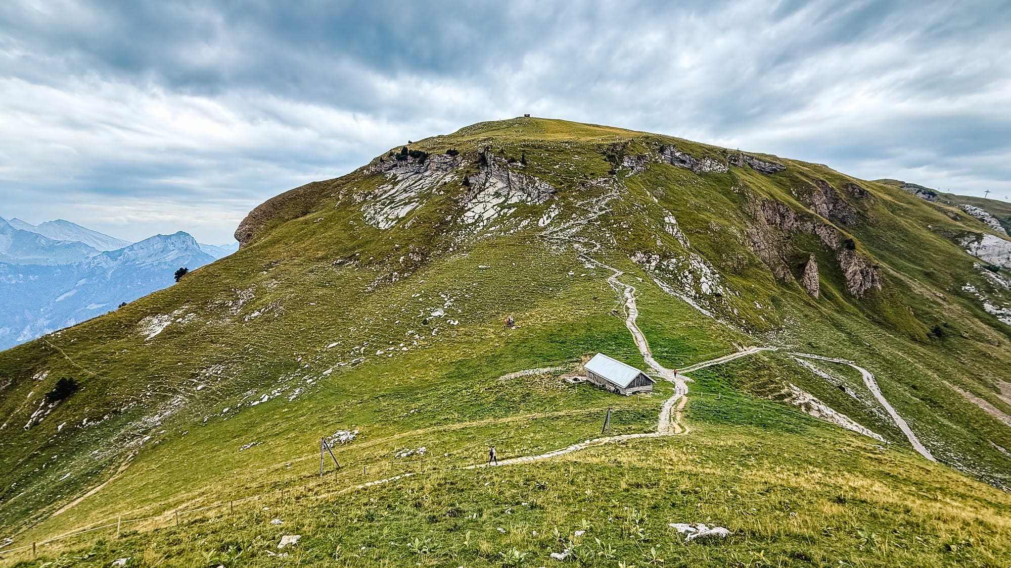
The picture below shows the hill you still have to climb before reaching the chairlift, which you can see in the distance on the right. Mentally prepare for this last section, and take your time.
4 Fronalpstock
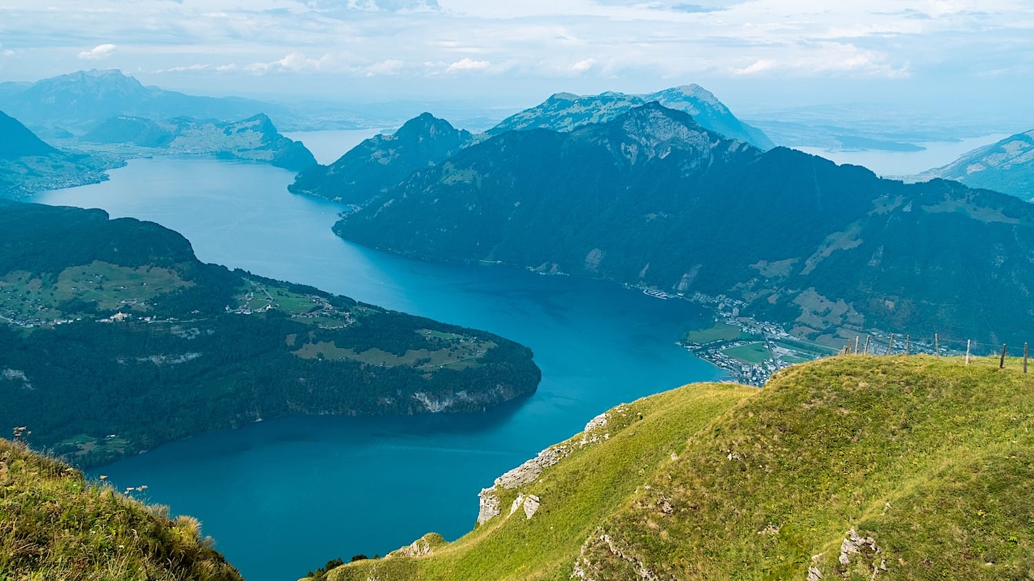
Congratulations, you have won this view! Don't hesitate to buy something to drink and/or eat at the Fronalpstock restaurant (they take cards and cash), and enjoy your time taking in the views from up here!
5 Take 2 chairlifts back to Stoos
Getting down the mountain needs 2 chairlifts. The first is right next to the Frontalpstock hotel, and the second is right where the first one left you.
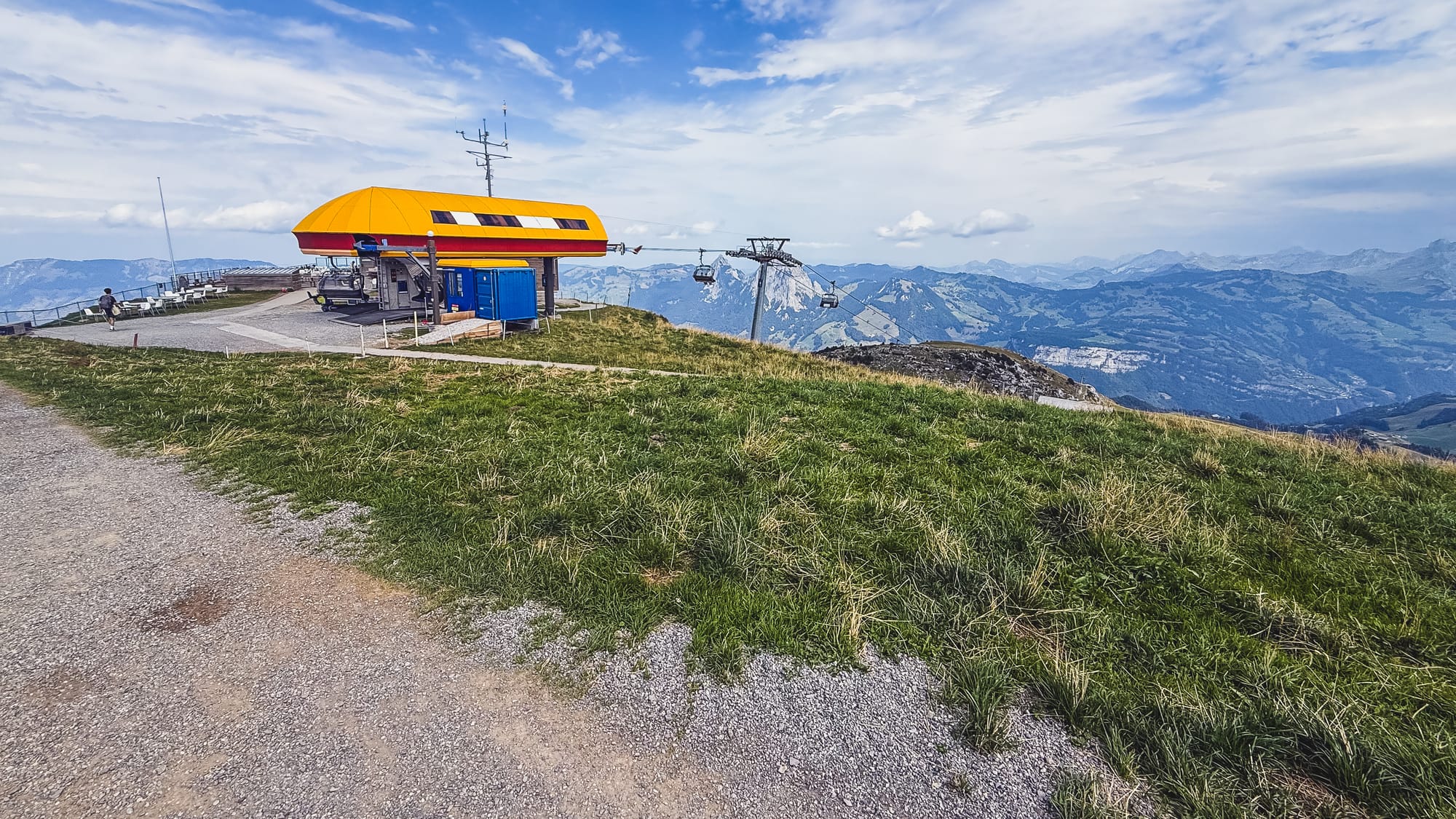
You will need to scan your tickets after each chairlift ride, so keep them accessible until you're back in Stoos.
Now you're on the opposite side of Stoos village from where you took the chairlift in the morning. Walk to the right for about 10 minutes to the funicular station to Schwyz, then return to the parking lot.
Conclusion
Allow 4 to 6 hours for the whole activity (funicular, chair lifts, and Stoos Ridge hike), depending on how many pictures or technical stops you make.
Let me know how your experience was!
FAQ
1. Where is the Stoos Ridge hike?
It's in the canton of Schwyz in central Switzerland, with views over Lake Lucerne. The hike runs along the ridge from Klingenstock to Fronalpstock, starting from the village of Stoos.
2. How do I get to the Stoos Ridge hike from Zürich or Luzern?
By train, take the 1.5-hour train from Zürich or Luzern to Schwyz, then bus 501 to Schwyz, Stoosbahn, where the funicular starts. By car, it takes about 50 minutes from Zürich and 40 minutes from Luzern to the funicular valley station, where parking lots P1 and P2 are next to it.
3. How much does the Stoos Ridge hike cost?
In 2026, the Peak Experience Ticket costs 58 CHF return for adults. It includes the funicular from Schwyz to Stoos and the chairlifts. Several discount cards are accepted. The hike itself is free.
4. When is the Stoos Ridge hike open?
The trail is secured with chains from early June until early November. The funicular runs from early morning until late evening, but the chairlifts only run from 9:00 am to 4:00 pm (until 5:00 pm from May through September), so check the timetable on stoos.ch before you go.
5. Can you hike the Stoos Ridge in winter?
No. In winter, the ridge trail is covered in snow and is not passable.
6. How long does the Stoos Ridge hike take?
The ridge itself is 4.5 km and takes 2 to 3 hours. Allow 4 to 6 hours for the whole day, including the funicular, the two chairlifts, and the walks between them.
7. How hard is the Stoos Ridge hike?
I'd call it moderate. It's not technical, but it's a lot of stairs, up and down in a rollercoaster pattern, with about 400 m of climbing in total. The hardest part is the long uphill climb in the last section, just before Fronalpstock.
8. Which direction should I hike the Stoos Ridge?
I recommend Klingenstock to Fronalpstock. You face Lake Lucerne for most of the walk, and about two-thirds of it is downhill. If you walk the other way, the lake is behind you. Either way, you will still go up and down in a rollercoaster pattern.
9. How do I get from Stoos to Klingenstock?
From the funicular, walk straight and turn left at the intersection. After some stairs, follow the uphill trail to the chairlift. It takes about 15 minutes.
10. Is there a shorter version of the Stoos Ridge hike?
Yes. Take the funicular to Stoos, then the two chairlifts to Fronalpstock, and do the easy 30-minute panorama circuit (1.6 km) with the same view over the lake.
11. Is the Stoos Ridge hike crowded?
Yes. This hike is extremely popular, so it gets very busy during high season. Additionally, tourist buses arrive around 11 am, so go early and avoid weekends if you can.