
 Paloma

Table of contents
Switzerland offers endless jaw-dropping landscapes. Hiking is ingrained in the country's identity and is one of the best ways to discover some of these landscapes. With well-maintained trails and chairlifts that make them more accessible, there is no excuse not to hike some of Switzerland's most beautiful trails.
This guide to the best day hikes in Switzerland includes everything you need to plan your hikes, from the best time to hike in Switzerland to trail data, fees, and more. If you're planning on visiting Switzerland this summer, don't forget to add these to your itinerary.
Practical
Fees
The chairlifts that take you to the start of the hikes in this article cost between 15 CHF and 100 CHF round-trip.
However, you can get a discount on certain chairlifts if you own a Swiss Half Fare Travelcard or another regional card. Always double-check whether your discount is valid on a given chairlift before going to avoid any unpleasant surprises.
Most of these hikes can be done without a chairlift. However, the added time would be significant, so take time to research if you opt for longer versions of these hikes.
Download Data Trail in advance
Although Switzerland usually has no internet coverage issues, you will most probably have limited cell signal throughout your hikes. This is why it is a good idea to download the trail information ahead of time. I recommend using AllTrails Pro to access the trail details while you are offline.
Best time to hike in Switzerland
The best time to hike in Switzerland is from July to August when the days are sunny, trails are open, and cable cars run the longest hours.
May, June, and September may also offer sunny days, but you will need to double-check trail availability and chairlift schedules.
Must-do hikes in Switzerland
1. Stoos Ridge Hike
Hiking distance: 4.4 km
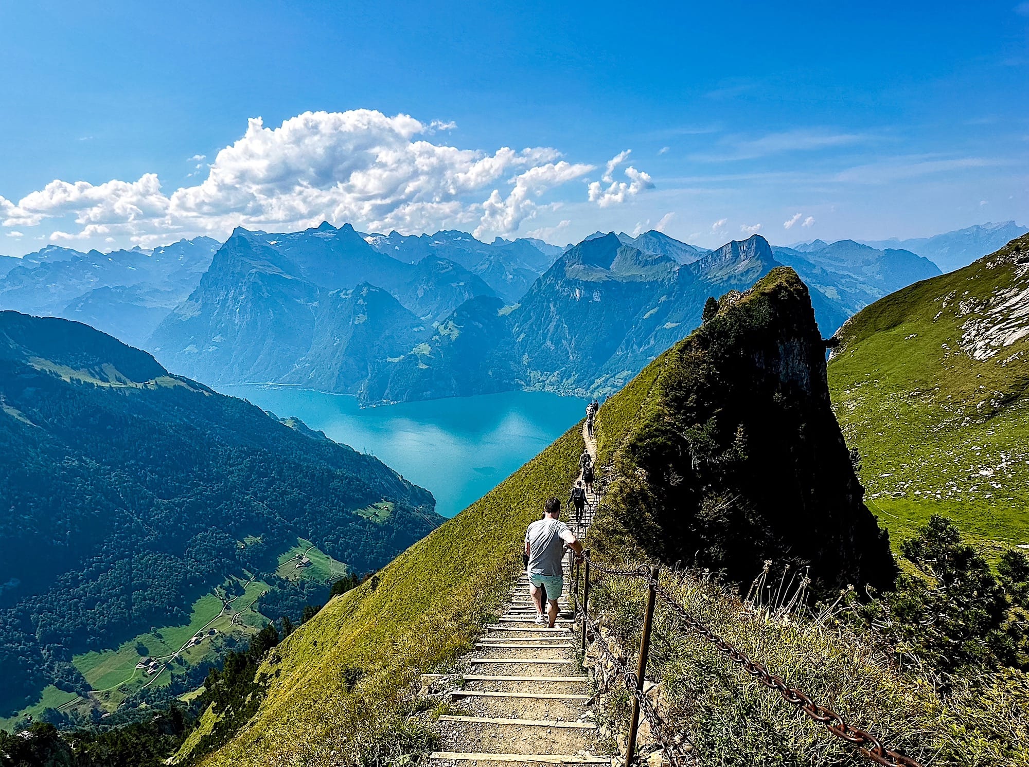
It is located in the Swiss canton of Schwyz. You can reach it by car in about 40 minutes from Luzern and 50 minutes from Zurich.
This hike starts by taking the steepest funicular in the world. A short 15-minute walk to the left takes you to the chairlift to Klingenstock.
Once at the top, the trail is scenic all the way, with lush green hills and lakes, and mountains in the background. But beware, this is not a stroll in the park! Most of the trail consists of up-and-down steps.
Follow the trail for about 2 hours until Fronalpstock, where there is a restaurant area and viewpoint. There, you will find the chairlift station to descend.
I recommend booking your tickets in advance to save time. In addition, try to get there as early as possible. By 11 a.m., buses full of tourists arrive, and the trail can get pretty crowded.
For a more detailed overview of this hike, check out my full Stoos Ridge Hike article.
2. Oeschinensee Panorama Hike
Hiking distance: 8.5 km
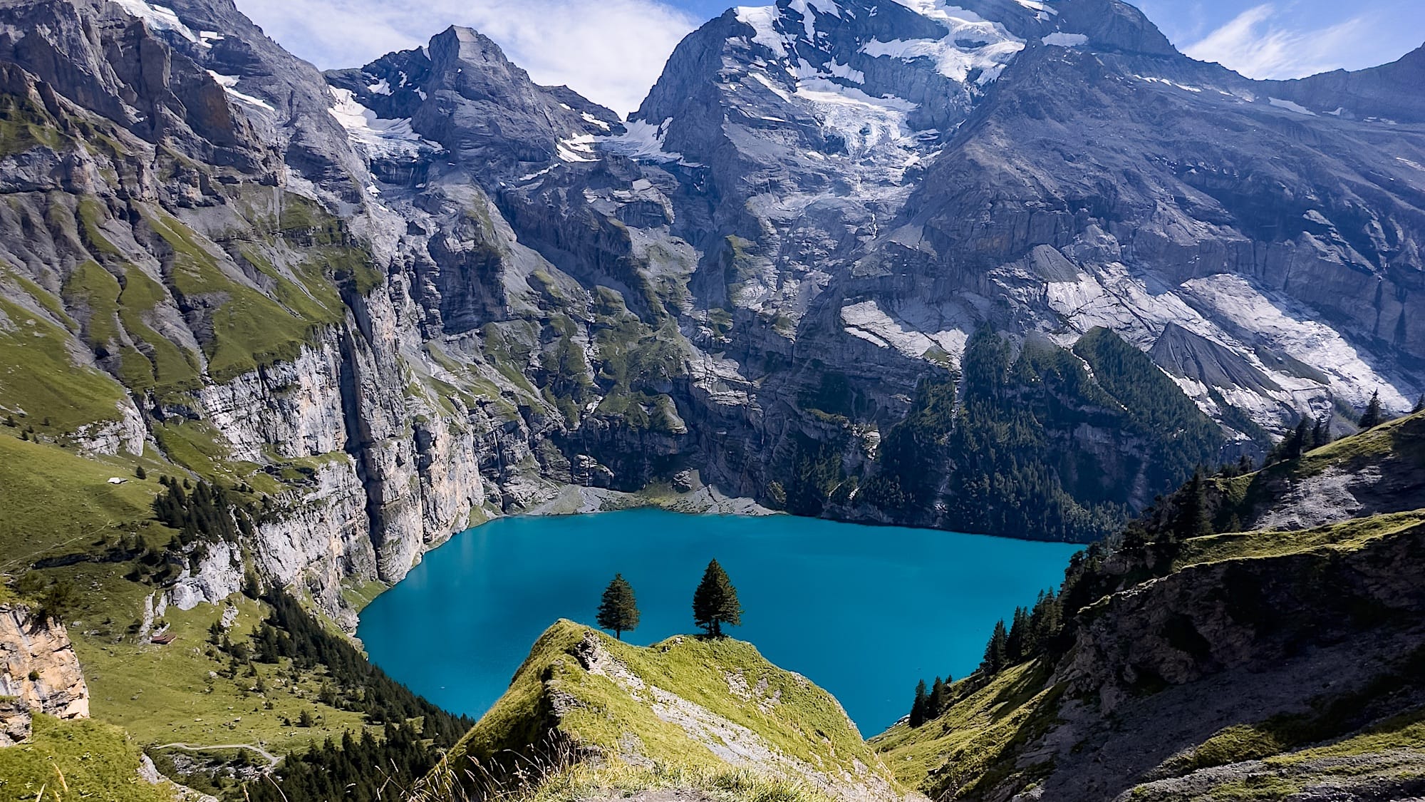
In the Canton of Bernese Oberland, this is one of Switzerland's bluest, most beautiful lakes.
You can either hike for around one hour through the forest or take a cable car from the village of Kandersteg up the mountain. From there, follow the trail to Ober Bärgli.
The first part of the trail is rather steep but nothing too tricky with hiking shoes. This section will test your cardio, though. Soon enough, you'll find a flatter section with several (busy) viewpoints.
There are 2 huts midway on this trail where you can buy refreshments. Don't underestimate the way down! You will find some slippery switchbacks.
We visited on a weekend, and the trail was pretty busy. When we finished our hike, we had to wait in line for about one hour to get a spot on the chairlift going down.
Remember, this is a popular spot, so the atmosphere isn't like other hikes in Switzerland, especially when it comes to mountain etiquette.
Want more information on hiking at Oeschinensee? Check out my complete guide here.
3. 5 Lakes Hike in Zermatt
Hiking distance: 6.7 miles (10.8 km), point-to-point
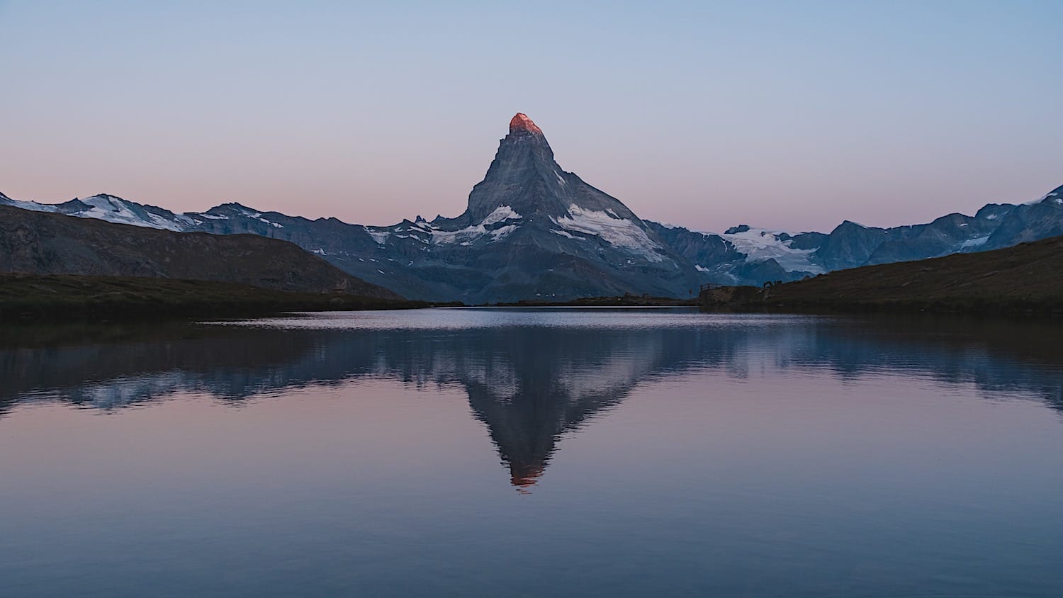
Located above Zermatt, this trail (Fünf-Seenweg in German) takes you past five alpine lakes, each offering a different perspective of the Matterhorn: mirrored on the water, framed by forest, or standing alone against the sky.
You start at the top with a funicular ride to Sunnegga, then hike downhill to the first 3 lakes, though you'll have to work your way up a steep hill to reach the last one. It's rated medium difficulty, with no technical sections or scrambling, just one lake after another for about 4 hours.
For a more detailed overview of this hike, check out my full 5 Lakes Hike in Zermatt guide.
4. Schäfler Hike
Hiking distance: 7.7 km
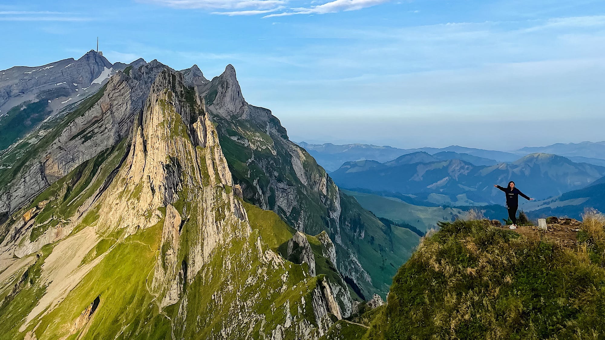
It is located in the Canton of Appenzell in eastern Switzerland.
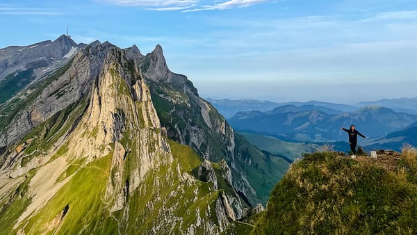
As with many hikes in Switzerland, take the chairlift to the middle of the mountain, where you will find the Ebenalp hut. From there, a trail leads up to the Schäfler hut.
The next part is dangerous because it can be slippery and has no safety rails. You can either continue to the dangerous part and make it a loop or turn around and go back the same way you came up.
Remember to visit the Berggasthaus Aescher, a quick 30-minute detour from the chairlift station.
Read all about this day hike in my full guide.
5. Limmernsee Hike
Hiking distance: 11.8 km
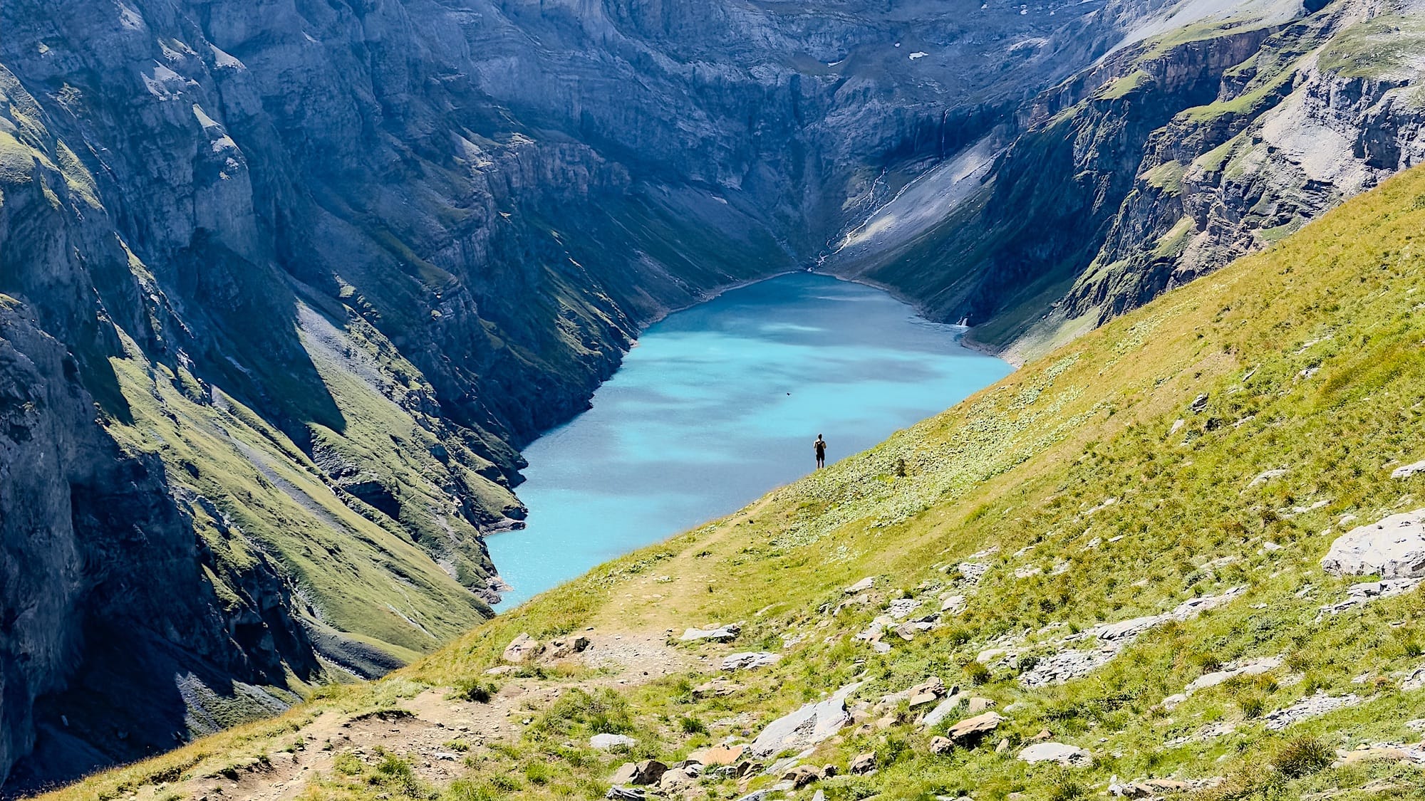
Situated in the Canton of Glarus in eastern Switzerland, this hike starts in a rather original way.
After taking a cable car up, take the door in front of you (don't go left) for the "easier" path. This door leads to a maintenance tunnel, where you'll walk for 30 minutes before reaching the start of the actual hike.
This hike is rated T2/T3 because of two more challenging passages where you will find chains you can hold onto. If you are in good condition, have the proper gear (aka hiking boots), and the weather is dry and sunny, these passages shouldn't be a significant setback. However, always be careful and assess the risk.
Once you reach the top, go back down the same way you went up. Alternatively, you can make this a loop, but keep in mind that it would make the hike harder (difficulty T3) and more exposed.
Read all the details in this guide!
6. Saxer Lücke hike
Hiking distance: 6 km
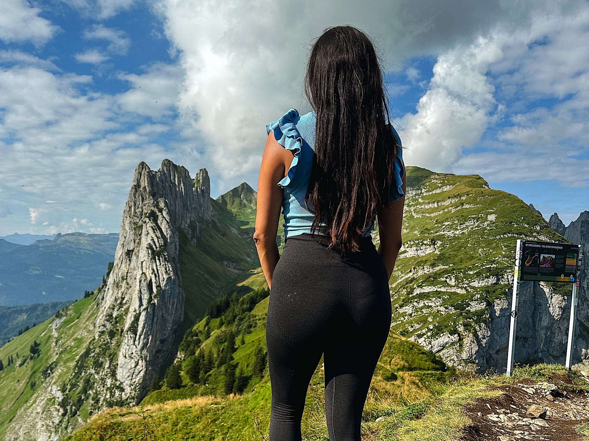
Located in the Canton of Appenzell in eastern Switzerland.
Take the cable car from Frümsen to Staubern. Then, follow the trail behind the Staubern mountain hut for about 1 hour. Along the trail, you will get an astounding view of the Fählensee. Before you know it, you will reach the famous geological formation.
From there, you can either continue down to the base of Fählensee and maybe have lunch at the Bollenwees mountain hut (famous for the traditional Rösti) or return the way you came.
Check out my full guide on hiking the Saxer Lücke and see the alternative routes here: Saxer Lücke Hike guide.
7. Bachalpsee hike in Grindelwald
Hiking distance: 6 km
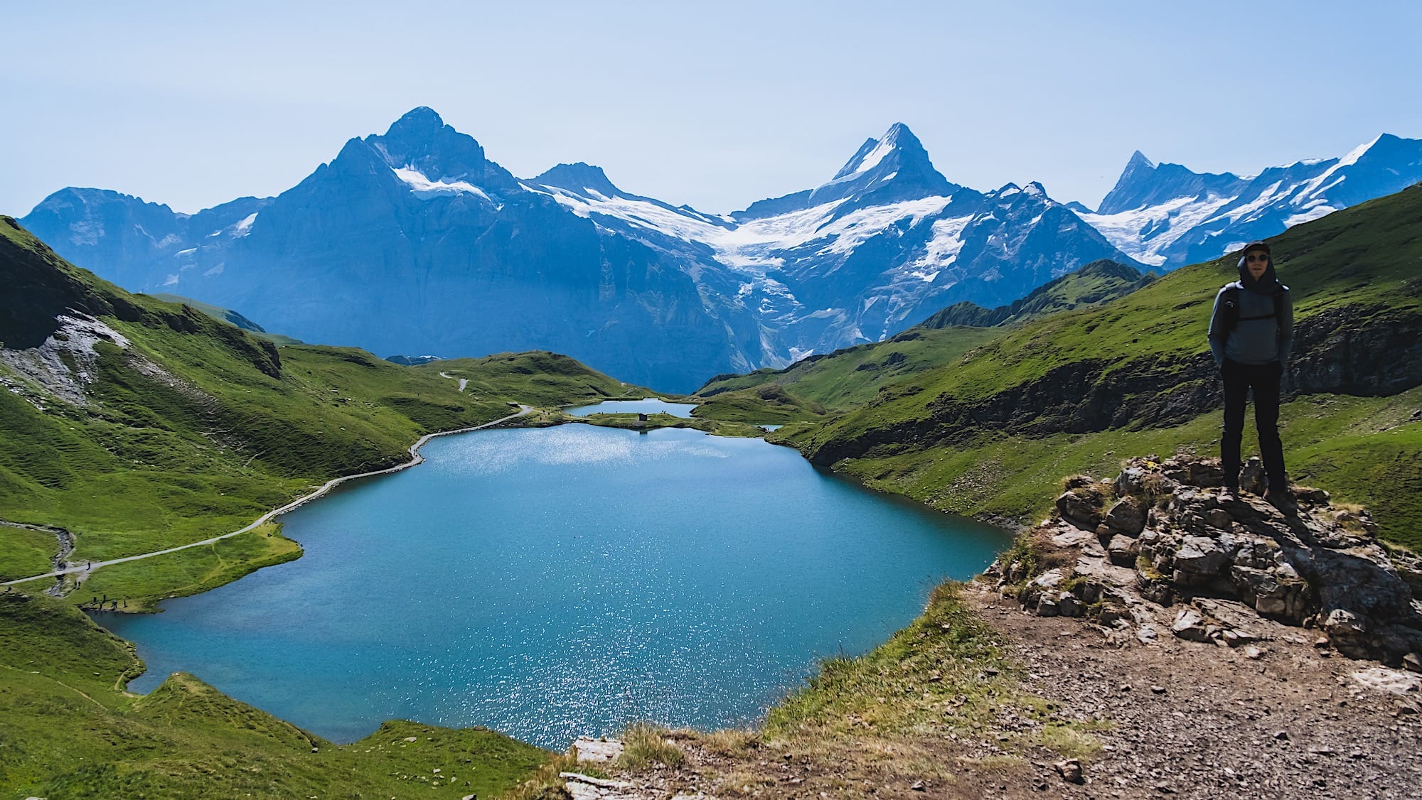
Located in the Canton of Bernese Oberland, Bachalpsee is a hike you can't miss if you're in Grindelwald! To reach the start of the trail, take the Grindelwald First cable car, then follow the signs to Bachalpsee.
This hike is moderately difficult, as it gradually climbs, and should take about 1 hour to reach Bachalpsee. From there, you can either head back the same way or continue to Faulhorn Hut and descend to Schynige Platte. Keep in mind this is a challenging 11.1 km full-day hike.
Before your hike, you can visit the Grindelwald First Cliff Walk for free. If you're planning to take the First Glider, ride a Mountain Cart, or ride a Trottibike, buy a combined ticket that includes these activities and the chairlift ride, as it will be less expensive.
Make sure that you do this hike on a clear day. Clouds might let sun through at lower levels (First Glider, Mountain Cart, or Trottibike) but can block the view at the top (Grindelwald First Cliff Walk and Bachalpsee).
Read all the details about the Grindelwald to Bachalpsee hike in this guide
8. Wasserfall-Arena Batöni
Hiking distance: 8,5 km
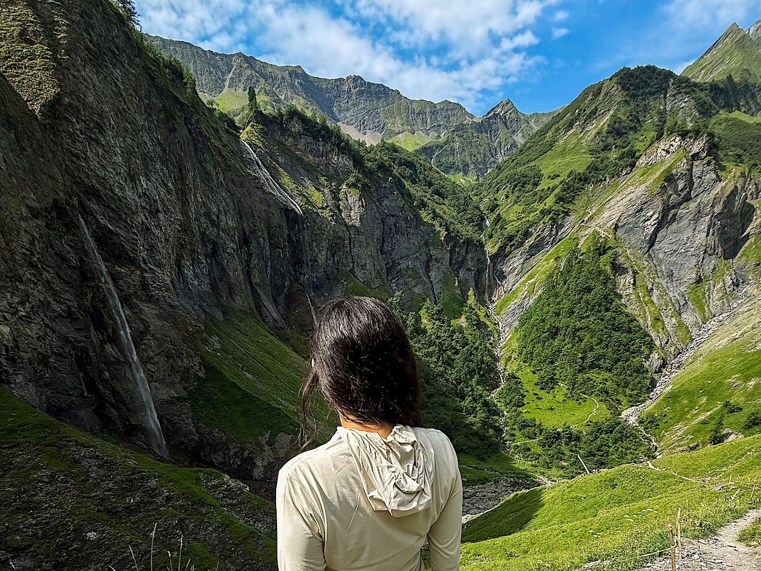
This hike is located in the Canton of St Gallen and is part of the UNESCO World Heritage Tectonic Arena Sardona.
You will hike through a green valley before reaching the waterfall arena, which offers a spectacular view of 5 waterfalls.
The first part of the hike is steep and will make you sweat, but after that, the trail gets easier, even though it still goes up.
Read more about this hike in my full guide.